1118 Saint James Rd Cheyenne, WY 82009
Estimated Value: $499,000 - $525,551
--
Bed
--
Bath
1,699
Sq Ft
$300/Sq Ft
Est. Value
About This Home
This home is located at 1118 Saint James Rd, Cheyenne, WY 82009 and is currently estimated at $510,517, approximately $300 per square foot. 1118 Saint James Rd is a home located in Laramie County with nearby schools including Gilchrist Elementary School, McCormick Junior High School, and Central High School.
Ownership History
Date
Name
Owned For
Owner Type
Purchase Details
Closed on
May 24, 2021
Sold by
Wenzel August A and Wenzel Diane C
Bought by
Wenzel August A and Wenzel Diane C
Current Estimated Value
Purchase Details
Closed on
May 23, 2002
Sold by
Wenzel August Albert and Wenzel Diane C
Bought by
Wenzel August A and Wenzel Diane C
Home Financials for this Owner
Home Financials are based on the most recent Mortgage that was taken out on this home.
Original Mortgage
$112,000
Interest Rate
6.92%
Mortgage Type
Purchase Money Mortgage
Create a Home Valuation Report for This Property
The Home Valuation Report is an in-depth analysis detailing your home's value as well as a comparison with similar homes in the area
Home Values in the Area
Average Home Value in this Area
Purchase History
| Date | Buyer | Sale Price | Title Company |
|---|---|---|---|
| Wenzel August A | -- | None Available | |
| Wenzel Family Trust | -- | None Listed On Document | |
| Wenzel August A | -- | First American Title |
Source: Public Records
Mortgage History
| Date | Status | Borrower | Loan Amount |
|---|---|---|---|
| Previous Owner | Wenzel August A | $112,000 |
Source: Public Records
Tax History Compared to Growth
Tax History
| Year | Tax Paid | Tax Assessment Tax Assessment Total Assessment is a certain percentage of the fair market value that is determined by local assessors to be the total taxable value of land and additions on the property. | Land | Improvement |
|---|---|---|---|---|
| 2025 | $2,759 | $24,753 | $4,622 | $20,131 |
| 2024 | $2,759 | $41,045 | $9,244 | $31,801 |
| 2023 | $2,545 | $38,729 | $9,244 | $29,485 |
| 2022 | $2,103 | $31,308 | $6,786 | $24,522 |
| 2021 | $1,810 | $26,881 | $4,440 | $22,441 |
| 2020 | $1,588 | $23,654 | $3,200 | $20,454 |
| 2019 | $1,534 | $22,822 | $3,008 | $19,814 |
| 2018 | $1,432 | $21,532 | $3,008 | $18,524 |
| 2017 | $1,246 | $18,548 | $2,663 | $15,885 |
| 2016 | $1,215 | $18,074 | $2,592 | $15,482 |
| 2015 | $1,227 | $18,258 | $2,592 | $15,666 |
| 2014 | $1,212 | $17,910 | $2,615 | $15,295 |
Source: Public Records
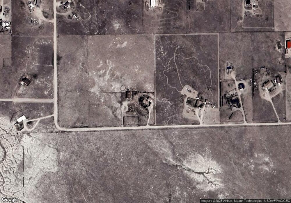
Map
Nearby Homes
- 1113 Indiana Rd
- 985 Range Line Rd
- 0 Range Line Rd
- 1100 Brundage Rd
- Lot 99 Tennessee Rd
- Tract 234 Samoa Rd
- Tract 295 S Carolina Rd
- Tract 300 S Carolina Rd
- 1102 Dusty Rd
- Lot 346 Carribean Rd
- Lot 340 Carribean Rd
- Lot 366 Carribean Rd
- Tract 291 Boundary Rd
- TBD Boundary Rd
- Tract 334 Bering Rd
- TBD Bade Rd
- 1092 Bade Rd
- 1015 Bade Rd
- 1207 Road 113
- 1483 Gilchrist Rd
- 1130 Saint James Rd
- 1136 Saint James Rd
- 1123 Indiana Rd
- 1142 Saint James Rd
- 1026 Baltic Rd
- 1131 Indiana Rd
- 1035 Baltic Rd
- 1020 Baltic Rd
- 1034 Baltic Rd
- 1122 Indiana Rd
- 1139 Indiana Rd
- 1148 Saint James Rd
- 1130 Indiana Rd
- 1114 Indiana Rd
- 1106 Indiana Rd
- 1090 Saint James Rd
- 1091 Indiana Rd
- 1074 Virginia Rd
- 1138 Indiana Rd
- 1147 Indiana Rd