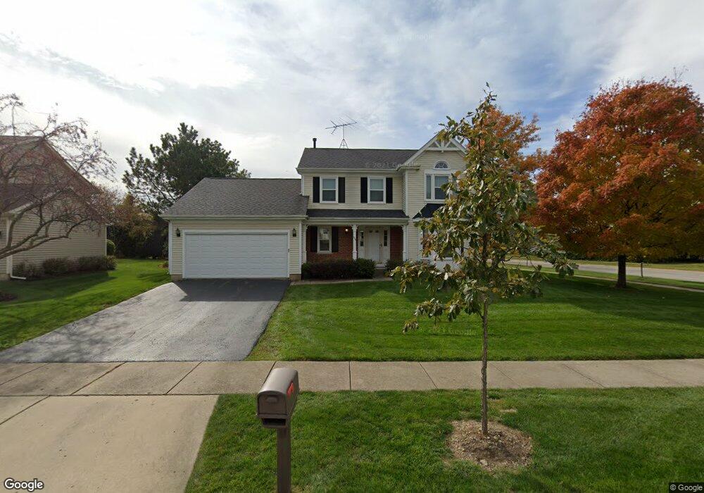
1118 Sandhurst Dr Buffalo Grove, IL 60089
Estimated Value: $598,799 - $680,000
--
Bed
3
Baths
2,078
Sq Ft
$304/Sq Ft
Est. Value
About This Home
This home is located at 1118 Sandhurst Dr, Buffalo Grove, IL 60089 and is currently estimated at $630,700, approximately $303 per square foot. 1118 Sandhurst Dr is a home located in Lake County with nearby schools including Meridian Middle School, Tripp Elementary School, and Aptakisic Junior High School.
Ownership History
Date
Name
Owned For
Owner Type
Purchase Details
Closed on
Oct 8, 2013
Sold by
Wachtler Steven W
Bought by
Wachtler Steven W and Steven W Wachtler Revocable Trust
Current Estimated Value
Purchase Details
Closed on
Feb 27, 1998
Sold by
Rosner Gayle A
Bought by
Wachtler Steven W
Home Financials for this Owner
Home Financials are based on the most recent Mortgage that was taken out on this home.
Original Mortgage
$130,000
Interest Rate
7.08%
Purchase Details
Closed on
Dec 11, 1993
Sold by
Rosner Marc and Rosner Marc S
Bought by
Rosner Gayle A
Home Financials for this Owner
Home Financials are based on the most recent Mortgage that was taken out on this home.
Original Mortgage
$166,000
Interest Rate
7.25%
Create a Home Valuation Report for This Property
The Home Valuation Report is an in-depth analysis detailing your home's value as well as a comparison with similar homes in the area
Home Values in the Area
Average Home Value in this Area
Purchase History
| Date | Buyer | Sale Price | Title Company |
|---|---|---|---|
| Wachtler Steven W | -- | None Available | |
| Wachtler Steven W | $254,000 | -- | |
| Rosner Gayle A | -- | -- |
Source: Public Records
Mortgage History
| Date | Status | Borrower | Loan Amount |
|---|---|---|---|
| Closed | Wachtler Steven W | $130,000 | |
| Previous Owner | Rosner Gayle A | $166,000 |
Source: Public Records
Tax History Compared to Growth
Tax History
| Year | Tax Paid | Tax Assessment Tax Assessment Total Assessment is a certain percentage of the fair market value that is determined by local assessors to be the total taxable value of land and additions on the property. | Land | Improvement |
|---|---|---|---|---|
| 2024 | $16,030 | $180,360 | $43,935 | $136,425 |
| 2023 | $14,024 | $163,638 | $39,862 | $123,776 |
| 2022 | $14,024 | $149,543 | $36,428 | $113,115 |
| 2021 | $13,527 | $147,930 | $36,035 | $111,895 |
| 2020 | $13,263 | $148,435 | $36,158 | $112,277 |
| 2019 | $12,912 | $147,888 | $36,025 | $111,863 |
| 2018 | $12,677 | $145,049 | $39,163 | $105,886 |
| 2017 | $12,512 | $141,663 | $38,249 | $103,414 |
| 2016 | $12,077 | $143,058 | $36,626 | $106,432 |
| 2015 | $12,516 | $133,786 | $34,252 | $99,534 |
| 2014 | $11,400 | $121,084 | $36,786 | $84,298 |
| 2012 | $11,287 | $121,327 | $36,860 | $84,467 |
Source: Public Records
Map
Nearby Homes
- 148 White Branch Ct
- 1012 Hobson Dr
- 15 Thompson Ct
- 60 E Fabish Dr
- 1272 Sandhurst Dr
- 1157 Russellwood Ct
- 51 W Fabish Dr
- 381 Bentley Place
- 938 Hidden Lake Dr
- 12 Aberdeen Ct
- 1113 Lockwood Dr
- 720 Dunhill Dr
- 1118 Larraway Dr
- 620 Cobblestone Ln
- 625 Marseilles Cir
- 20665 N Weiland Rd
- 603 Cherbourg Ct N
- 16202 W Aptakisic Rd
- 22118 N Prairie Rd
- 538 Lasalle Ct
- 1116 Sandhurst Ct
- 1121 Highland Grove Dr
- 1111 Highland Grove Dr
- 1127 Sandhurst Ct
- 1112 Sandhurst Ct
- 1132 Sandhurst Dr
- 1123 Sandhurst Ct
- 1136 Highland Grove Dr
- 1101 Highland Grove Dr
- 1133 Sandhurst Dr
- 1106 Sandhurst Ct
- 1113 Sandhurst Ct
- 1138 Sandhurst Dr
- 1130 Highland Grove Dr
- 1107 Sandhurst Ct
- 1137 Sandhurst Dr
- 1142 Sandhurst Dr
- 1102 Sandhurst Ct
- 1106 Highland Grove Dr
- 1101 Sandhurst Ct