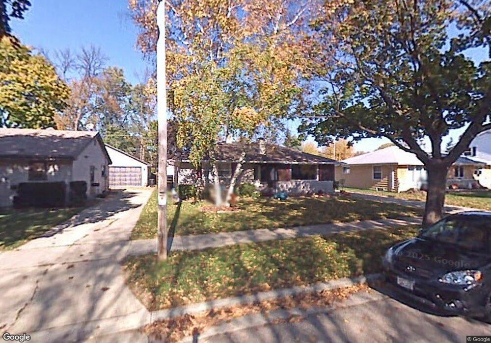
1118 W Taylor St Appleton, WI 54914
West Appleton NeighborhoodEstimated Value: $245,277 - $274,000
3
Beds
2
Baths
1,240
Sq Ft
$211/Sq Ft
Est. Value
About This Home
This home is located at 1118 W Taylor St, Appleton, WI 54914 and is currently estimated at $261,319, approximately $210 per square foot. 1118 W Taylor St is a home located in Outagamie County with nearby schools including Highlands Elementary School, Wilson Middle School, and Appleton West High School.
Ownership History
Date
Name
Owned For
Owner Type
Purchase Details
Closed on
Feb 1, 2021
Sold by
Molenda Brian
Bought by
Molenda Cassandra
Current Estimated Value
Purchase Details
Closed on
Jun 21, 2006
Sold by
Dorn Carol L
Bought by
Molenda Brian and Molenda Cassandra
Create a Home Valuation Report for This Property
The Home Valuation Report is an in-depth analysis detailing your home's value as well as a comparison with similar homes in the area
Home Values in the Area
Average Home Value in this Area
Purchase History
| Date | Buyer | Sale Price | Title Company |
|---|---|---|---|
| Molenda Cassandra | $56,500 | -- | |
| Molenda Brian | $99,500 | -- |
Source: Public Records
Tax History
| Year | Tax Paid | Tax Assessment Tax Assessment Total Assessment is a certain percentage of the fair market value that is determined by local assessors to be the total taxable value of land and additions on the property. | Land | Improvement |
|---|---|---|---|---|
| 2023 | $2,652 | $180,300 | $29,900 | $150,400 |
| 2022 | $2,596 | $130,500 | $23,800 | $106,700 |
| 2021 | $2,471 | $130,500 | $23,800 | $106,700 |
| 2020 | $2,483 | $130,500 | $23,800 | $106,700 |
| 2019 | $2,643 | $142,700 | $23,800 | $118,900 |
| 2018 | $2,389 | $113,500 | $21,800 | $91,700 |
| 2017 | $2,386 | $113,500 | $21,800 | $91,700 |
| 2016 | $2,341 | $113,500 | $21,800 | $91,700 |
| 2015 | $2,382 | $113,500 | $21,800 | $91,700 |
| 2014 | $2,360 | $113,500 | $21,800 | $91,700 |
| 2013 | $2,367 | $113,500 | $21,800 | $91,700 |
Source: Public Records
Map
Nearby Homes
- 1931 N Summit St
- 1001 W Grant St
- 1913 N Outagamie St
- 914 W Brewster St
- 1823 N Alvin St
- 909 W Weiland Ave
- 1315 W Summer St
- 2101 N Eugene St
- 1127 W Northland Ave
- 2007 N Division St
- 1108 N Gillett St
- 1630 N Birchwood Ave
- 29 Hillock Ct
- 1715 W Wisconsin Ave
- 1314 N Harriman St
- 1531 N Birchwood Ave
- 1223 N Harriman St
- 1525 N Clark St
- 721 W Commercial St
- 1631 W Spring St
- 1112 W Taylor St
- 1124 W Taylor St
- 1100 W Taylor St
- 1137 W Taylor St
- 1125 W Taylor St
- 1921 N Summit St
- 1131 W Roberts Ave
- 1119 W Taylor St
- 1131 W Taylor St
- 1137 W Roberts Ave
- 1809 N Summit St
- 1038 W Taylor St
- 1201 W Taylor St
- 1201 W Roberts Ave
- 1119 W Roberts Ave
- 1118 W Roberts Ave
- 1124 W Roberts Ave
- 1130 W Roberts Ave
- 1136 W Roberts Ave
- 1112 W Roberts Ave
Your Personal Tour Guide
Ask me questions while you tour the home.