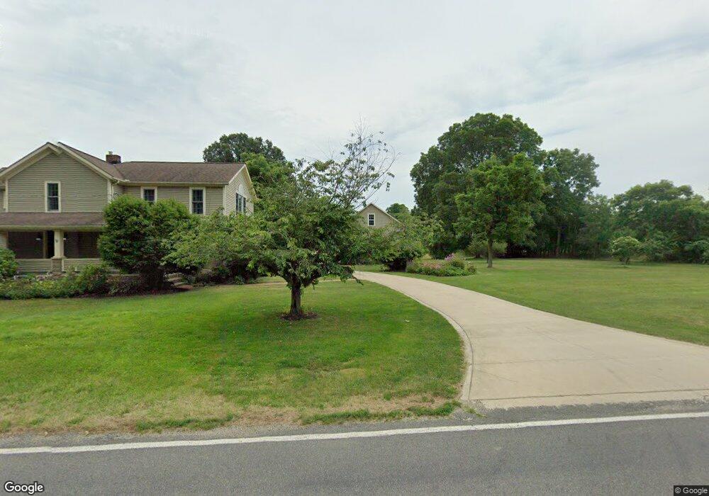
11180 Mccallum Ave NE Alliance, OH 44601
Estimated Value: $369,000 - $615,371
4
Beds
3
Baths
2,722
Sq Ft
$186/Sq Ft
Est. Value
About This Home
This home is located at 11180 Mccallum Ave NE, Alliance, OH 44601 and is currently estimated at $505,843, approximately $185 per square foot. 11180 Mccallum Ave NE is a home located in Stark County with nearby schools including Marlington High School and Regina Coeli/St Joseph School.
Ownership History
Date
Name
Owned For
Owner Type
Purchase Details
Closed on
Oct 3, 2022
Sold by
Barry W Penturf Trust
Bought by
Barry W Penturf Marital Trust
Current Estimated Value
Purchase Details
Closed on
Feb 2, 2022
Sold by
Penturf Barry W
Bought by
Barry W Penturf Revocable Trust
Purchase Details
Closed on
Apr 11, 2012
Sold by
Penturf Barry W
Bought by
Penturf Barry W and Barry W Penturf Revocable Trust
Create a Home Valuation Report for This Property
The Home Valuation Report is an in-depth analysis detailing your home's value as well as a comparison with similar homes in the area
Home Values in the Area
Average Home Value in this Area
Purchase History
| Date | Buyer | Sale Price | Title Company |
|---|---|---|---|
| Barry W Penturf Marital Trust | -- | -- | |
| Barry W Penturf Revocable Trust | -- | -- | |
| Penturf Barry W | -- | Attorney |
Source: Public Records
Tax History Compared to Growth
Tax History
| Year | Tax Paid | Tax Assessment Tax Assessment Total Assessment is a certain percentage of the fair market value that is determined by local assessors to be the total taxable value of land and additions on the property. | Land | Improvement |
|---|---|---|---|---|
| 2025 | -- | $188,900 | $113,860 | $75,040 |
| 2024 | -- | $188,900 | $113,860 | $75,040 |
| 2023 | $2,424 | $140,945 | $95,935 | $45,010 |
| 2022 | $2,474 | $68,390 | $23,380 | $45,010 |
| 2021 | $2,440 | $68,390 | $23,380 | $45,010 |
| 2020 | $2,868 | $71,540 | $27,580 | $43,960 |
| 2019 | $2,849 | $71,570 | $27,600 | $43,970 |
| 2018 | $2,854 | $71,570 | $27,600 | $43,970 |
| 2017 | $3,077 | $72,090 | $33,750 | $38,340 |
| 2016 | $2,917 | $68,280 | $33,750 | $34,530 |
| 2015 | $2,781 | $68,280 | $33,750 | $34,530 |
| 2014 | $536 | $57,080 | $21,400 | $35,680 |
| 2013 | $1,262 | $57,080 | $21,400 | $35,680 |
Source: Public Records
Map
Nearby Homes
- 10666 Wilma Ave NE
- 12355 Edison St NE
- 11960 Freshley Ave NE
- 12415 Snode St NE
- 0 Meadow St NE
- 13334 Cindy St NE
- 13109 Edison St NE
- 11480 Aebi Ave NE
- 0 Reeder Ave NE
- 0 W Main St Unit 5090123
- 1430 Westwood Ave
- 000 Klinger Ave
- 2081 Marwood Cir
- 14422 Sturbridge Rd NE
- 2377 Ansley St Unit 2377
- 432 Johnson Ave
- 0 Homestead Ave NE
- 0 Meadowbrook Ave
- 000 Meadowbrook Ave
- 14723 Bolton St NE
- 11181 Mccallum Ave NE
- 11150 Mccallum Ave NE
- 11151 Mccallum Ave NE
- 11252 Mccallum Ave NE
- 11252 Mccallum Ave NE
- 11275 Mccallum Ave NE
- 11123 Mccallum Ave NE
- 11070 Mccallum Ave NE
- 11380 Mccallum Ave NE
- 11005 Mccallum Ave NE
- 10962 Mccallum Ave NE
- 11444 Mccallum Ave NE
- 10977 Mccallum Ave NE
- 11441 Mccallum Ave NE
- 11464 Mccallum Ave NE
- 10953 Mccallum Ave NE
- 10906 Mccallum Ave NE
- 10905 Mccallum Ave NE
- 10877 Mccallum Ave NE
- 10874 Mccallum Ave NE