111820 Highway 59 Loop Sallisaw, OK 74955
Estimated Value: $160,601 - $255,000
3
Beds
1
Bath
1,224
Sq Ft
$168/Sq Ft
Est. Value
About This Home
This home is located at 111820 Highway 59 Loop, Sallisaw, OK 74955 and is currently estimated at $205,650, approximately $168 per square foot. 111820 Highway 59 Loop is a home with nearby schools including Liberty Elementary School, Eastside Elementary School, and Sallisaw Middle School.
Ownership History
Date
Name
Owned For
Owner Type
Purchase Details
Closed on
Jun 12, 2024
Sold by
Najera Adame Jose Gerardo and Diaz Tampa Reyna
Bought by
Adame Jose Gerardo Naje and Diaz Tampa Reyna
Current Estimated Value
Purchase Details
Closed on
Aug 11, 2007
Sold by
Najera Adame Jose Gerardo and Najera Adame Jose Geraddo
Bought by
Najera Adame Jose Cerardo and Diaz-Tampa Reyna
Purchase Details
Closed on
Feb 28, 2007
Sold by
Sparks Joseph E
Bought by
Gerado Jose
Purchase Details
Closed on
Sep 5, 2003
Sold by
Sparks Sara
Bought by
Sparks Joseph E
Purchase Details
Closed on
Aug 25, 2003
Sold by
Jones Crystal
Bought by
Sparks Joseph E
Create a Home Valuation Report for This Property
The Home Valuation Report is an in-depth analysis detailing your home's value as well as a comparison with similar homes in the area
Home Values in the Area
Average Home Value in this Area
Purchase History
| Date | Buyer | Sale Price | Title Company |
|---|---|---|---|
| Adame Jose Gerardo Naje | -- | None Listed On Document | |
| Najera Adame Jose Cerardo | -- | None Available | |
| Gerado Jose | $34,000 | None Available | |
| Sparks Joseph E | -- | -- | |
| Sparks Joseph E | $15,000 | -- | |
| Sparks Sara | -- | -- |
Source: Public Records
Tax History Compared to Growth
Tax History
| Year | Tax Paid | Tax Assessment Tax Assessment Total Assessment is a certain percentage of the fair market value that is determined by local assessors to be the total taxable value of land and additions on the property. | Land | Improvement |
|---|---|---|---|---|
| 2024 | $560 | $6,167 | $1,157 | $5,010 |
| 2023 | $560 | $5,872 | $1,152 | $4,720 |
| 2022 | $477 | $5,594 | $1,485 | $4,109 |
| 2021 | $476 | $5,594 | $1,485 | $4,109 |
| 2020 | $485 | $5,594 | $1,485 | $4,109 |
| 2019 | $505 | $5,759 | $1,485 | $4,274 |
| 2018 | $532 | $6,028 | $1,485 | $4,543 |
| 2017 | $533 | $6,047 | $1,427 | $4,620 |
| 2016 | $514 | $5,758 | $1,279 | $4,479 |
| 2015 | $498 | $5,484 | $1,173 | $4,311 |
| 2014 | $374 | $4,124 | $1,398 | $2,726 |
Source: Public Records
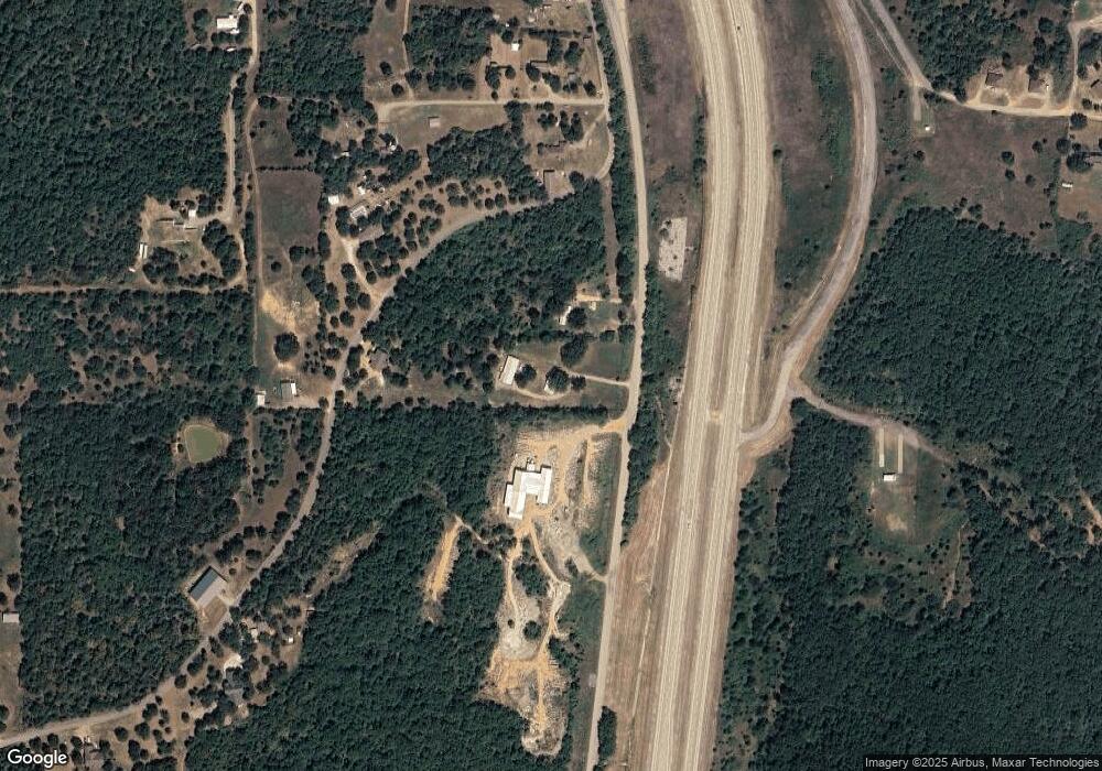
Map
Nearby Homes
- 3005 W Redwood Ave
- 0000 N J T Stites St
- 469497 E 975th Rd
- 2010 Aspen
- 513 Monarch Pass St
- 404 N Washington St
- 891 W Choctaw Ave
- 610 N Hickory St
- 814 W Chickasaw Ave
- 401 N Ash St
- 1705 W Eppler Rd
- 3003 W Redwood Ave
- 418 S Hickory St
- 714 W Williams Ave
- 403 N Maple St
- 605 N Maple St
- 402 S Ash St
- 1121 N Maple St
- 403 W Argyle Ave
- 310 W Denton Ave