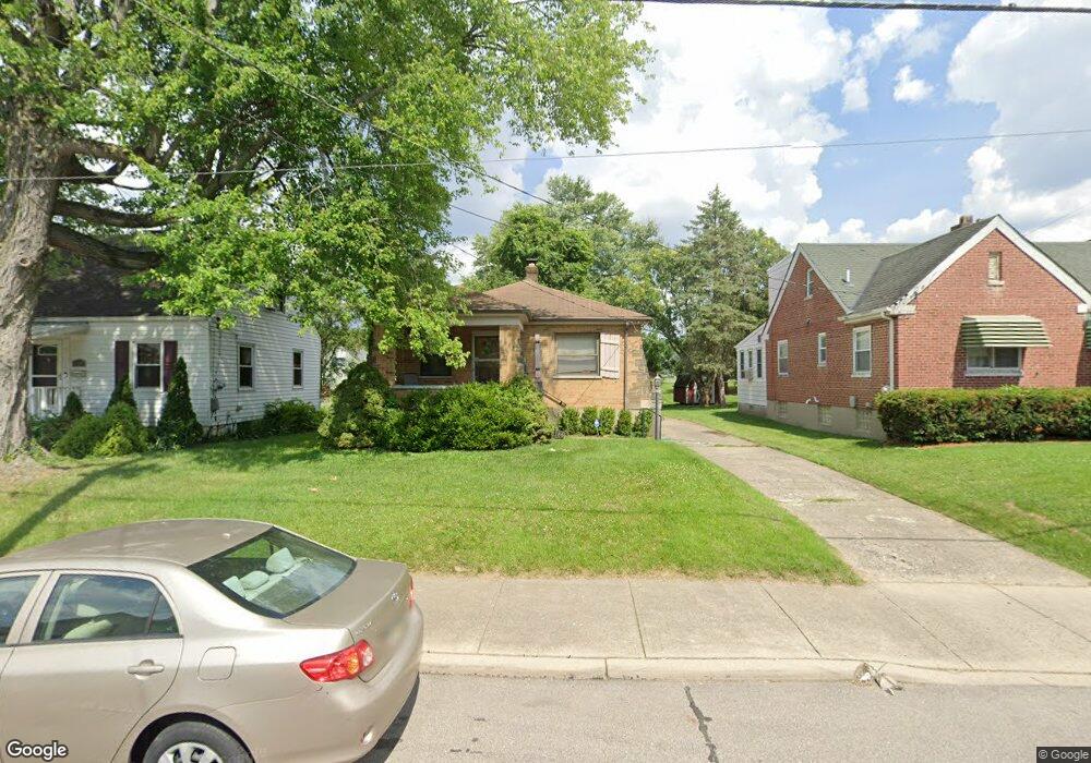
11186 Maple St Cincinnati, OH 45241
Estimated Value: $218,000 - $256,000
2
Beds
2
Baths
1,593
Sq Ft
$147/Sq Ft
Est. Value
About This Home
This home is located at 11186 Maple St, Cincinnati, OH 45241 and is currently estimated at $233,495, approximately $146 per square foot. 11186 Maple St is a home located in Hamilton County with nearby schools including Sharonville Elementary School, Princeton Community Middle School, and Princeton High School.
Ownership History
Date
Name
Owned For
Owner Type
Purchase Details
Closed on
Feb 7, 2022
Sold by
Carvey Barbara L
Bought by
Carvey Margaret
Current Estimated Value
Home Financials for this Owner
Home Financials are based on the most recent Mortgage that was taken out on this home.
Original Mortgage
$140,000
Interest Rate
3.56%
Mortgage Type
New Conventional
Purchase Details
Closed on
Aug 31, 2000
Sold by
Wing Angela M and Wing Angela M
Bought by
Carvey Barbara L
Home Financials for this Owner
Home Financials are based on the most recent Mortgage that was taken out on this home.
Original Mortgage
$84,000
Interest Rate
7.62%
Purchase Details
Closed on
Sep 1, 1995
Sold by
Styer Kathryn I and Finley Kathryn I
Bought by
Wing Angela M
Home Financials for this Owner
Home Financials are based on the most recent Mortgage that was taken out on this home.
Original Mortgage
$77,450
Interest Rate
7.81%
Mortgage Type
FHA
Create a Home Valuation Report for This Property
The Home Valuation Report is an in-depth analysis detailing your home's value as well as a comparison with similar homes in the area
Home Values in the Area
Average Home Value in this Area
Purchase History
| Date | Buyer | Sale Price | Title Company |
|---|---|---|---|
| Carvey Margaret | $175,000 | Robertson & Associates Of Ohio | |
| Carvey Barbara L | $105,000 | -- | |
| Wing Angela M | -- | Midland Title Security Inc |
Source: Public Records
Mortgage History
| Date | Status | Borrower | Loan Amount |
|---|---|---|---|
| Previous Owner | Carvey Margaret | $140,000 | |
| Previous Owner | Carvey Barbara L | $84,000 | |
| Previous Owner | Wing Angela M | $77,450 |
Source: Public Records
Tax History
| Year | Tax Paid | Tax Assessment Tax Assessment Total Assessment is a certain percentage of the fair market value that is determined by local assessors to be the total taxable value of land and additions on the property. | Land | Improvement |
|---|---|---|---|---|
| 2025 | $2,546 | $52,136 | $11,424 | $40,712 |
| 2024 | $2,245 | $52,136 | $11,424 | $40,712 |
| 2023 | $2,203 | $52,136 | $11,424 | $40,712 |
| 2022 | $1,441 | $37,223 | $8,694 | $28,529 |
| 2021 | $1,393 | $37,223 | $8,694 | $28,529 |
| 2020 | $1,420 | $37,223 | $8,694 | $28,529 |
| 2019 | $1,279 | $32,368 | $7,560 | $24,808 |
| 2018 | $1,200 | $32,368 | $7,560 | $24,808 |
| 2017 | $1,119 | $32,368 | $7,560 | $24,808 |
| 2016 | $1,287 | $35,785 | $8,089 | $27,696 |
| 2015 | $1,306 | $35,785 | $8,089 | $27,696 |
| 2014 | $1,310 | $35,785 | $8,089 | $27,696 |
| 2013 | $1,169 | $33,443 | $7,560 | $25,883 |
Source: Public Records
Map
Nearby Homes
- 3380 Spurrier Ln
- 4036 Haverstraw Dr
- 4170 Cornell Rd
- 4051 Falling Creek Ct
- 4071 E Kemper Rd
- 11108 Huntwicke Place
- 3703 Moorhill Dr
- 4365 Classic Dr
- 3875 Hauck Rd
- 10514 Thornview Dr
- 3590 Glendale Milford Rd
- 10301 Giverny Blvd
- 4254 Fox Hollow Dr
- 4195 Crystal View Ct
- 37 Carpenters Run
- 9883 Fawnrun Ct
- 10561 Plainfield Rd
- 5164 Londonderry Dr
- 5078 Arabella Cir
- 5074 Arabella Cir
- 11190 Maple St
- 11180 Maple St
- 3541 Cornell Rd
- 3557 Cornell Rd
- 3563 Cornell Rd
- 11187 Maple St
- 11191 Maple St
- 11177 Maple St
- 3569 Cornell Rd
- 11195 Maple St
- 11173 Maple St
- 3581 Cornell Rd
- 11169 Maple St
- 3550 Cornell Rd
- 3544 Cornell Rd
- 3558 Cornell Rd
- 3530 Cornell Rd
- 11163 Maple St
- 3585 Cornell Rd
- 11188 Oak St
Your Personal Tour Guide
Ask me questions while you tour the home.