11188 Norman Rd Brockway, MI 48097
Brockway Township NeighborhoodEstimated Value: $326,000 - $391,302
3
Beds
2
Baths
1,836
Sq Ft
$199/Sq Ft
Est. Value
About This Home
This home is located at 11188 Norman Rd, Brockway, MI 48097 and is currently estimated at $365,326, approximately $198 per square foot. 11188 Norman Rd is a home with nearby schools including Yale Senior High School.
Ownership History
Date
Name
Owned For
Owner Type
Purchase Details
Closed on
Dec 1, 2021
Sold by
Adam Reno Nicholas
Bought by
Reno Rebecca Lynn
Current Estimated Value
Purchase Details
Closed on
Oct 31, 2018
Sold by
Simmons Jeff B
Bought by
Reno Nicholas A and Reno Rebecca L
Home Financials for this Owner
Home Financials are based on the most recent Mortgage that was taken out on this home.
Original Mortgage
$199,323
Interest Rate
4.6%
Mortgage Type
FHA
Purchase Details
Closed on
Oct 22, 2018
Sold by
Simmons Jeff B
Bought by
Reno Nicholas A and Reno Rebecca L
Home Financials for this Owner
Home Financials are based on the most recent Mortgage that was taken out on this home.
Original Mortgage
$199,323
Interest Rate
4.6%
Mortgage Type
FHA
Create a Home Valuation Report for This Property
The Home Valuation Report is an in-depth analysis detailing your home's value as well as a comparison with similar homes in the area
Home Values in the Area
Average Home Value in this Area
Purchase History
| Date | Buyer | Sale Price | Title Company |
|---|---|---|---|
| Reno Rebecca Lynn | -- | None Listed On Document | |
| Reno Nicholas A | $203,000 | None Listed On Document | |
| Reno Nicholas A | $203,000 | None Listed On Document |
Source: Public Records
Mortgage History
| Date | Status | Borrower | Loan Amount |
|---|---|---|---|
| Previous Owner | Reno Nicholas A | $199,323 | |
| Previous Owner | Reno Nicholas A | $199,323 |
Source: Public Records
Tax History Compared to Growth
Tax History
| Year | Tax Paid | Tax Assessment Tax Assessment Total Assessment is a certain percentage of the fair market value that is determined by local assessors to be the total taxable value of land and additions on the property. | Land | Improvement |
|---|---|---|---|---|
| 2025 | $3,407 | $183,800 | $0 | $0 |
| 2024 | $1,286 | $162,400 | $0 | $0 |
| 2023 | $1,224 | $170,900 | $0 | $0 |
| 2022 | $3,101 | $136,500 | $0 | $0 |
| 2021 | $2,890 | $114,800 | $0 | $0 |
| 2020 | $2,890 | $103,700 | $103,700 | $0 |
| 2019 | $2,825 | $95,600 | $0 | $0 |
| 2018 | $2,127 | $84,200 | $0 | $0 |
| 2017 | $2,102 | $75,800 | $0 | $0 |
| 2016 | $794 | $75,800 | $0 | $0 |
| 2015 | -- | $75,500 | $75,500 | $0 |
| 2014 | -- | $68,100 | $68,100 | $0 |
| 2013 | -- | $68,400 | $0 | $0 |
Source: Public Records
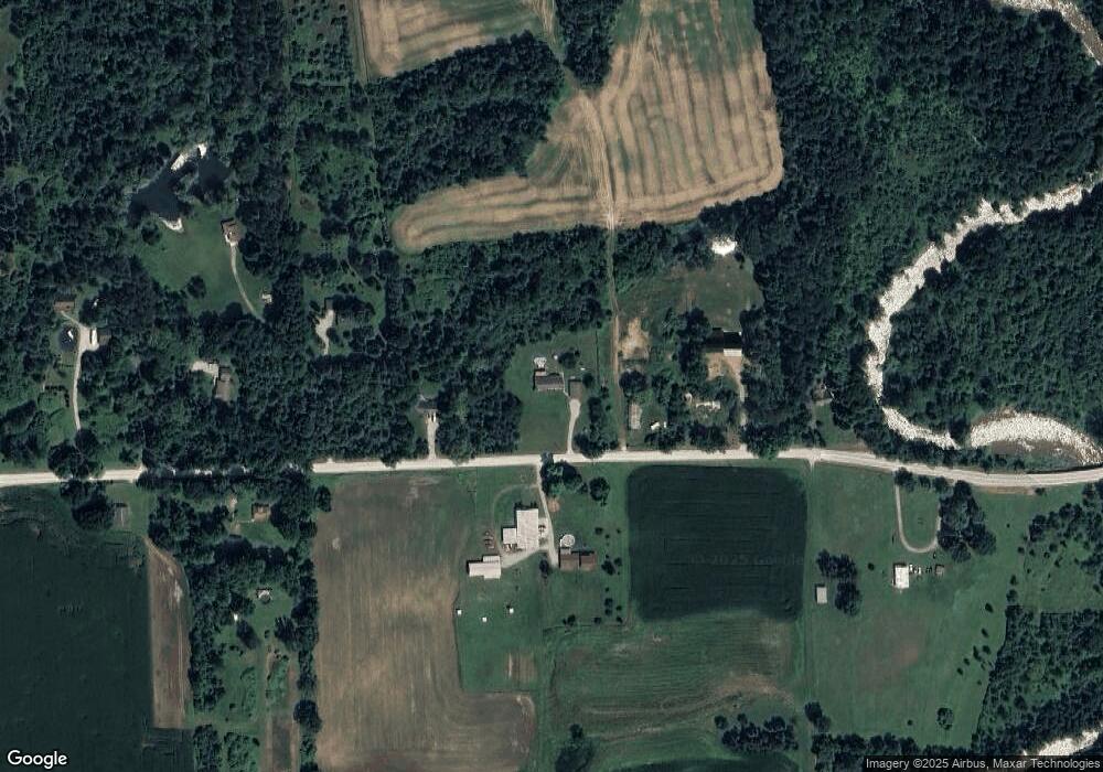
Map
Nearby Homes
- 11120 Wilkes Rd
- 10805 Wilkes Rd
- V/L Rose Rd Unit V/L Metcalf
- 11157 Rose Rd
- 11705 Norman Rd
- 5699 Connell Rd
- 6399 Bricker Rd
- VL Speaker Rd
- 209 S Brockway Rd
- 9 Livingston St
- 0 Jorden Unit 50176561
- 10103 Beard Rd
- 307 Mary St
- 109 E Wood St
- 5901 Quain Rd
- 106 E Mechanic St
- 203 E Mechanic St
- 213 Morrell St
- 101 Morrell St
- 208 Arthur St
- 11204 Norman Rd
- 11220 Norman Rd
- 11249 Norman Rd
- 11075 Norman Rd
- 11033 Norman Rd
- 11252 Norman Rd
- 11276 Norman Rd
- 11252 Norman Rd
- 11076 Norman Rd
- 11280 Norman Rd
- 11364 Norman Rd
- 11003 Norman Rd
- 11042 Norman Rd
- 11308 Norman Rd
- 0 Mc Mahon Rd Unit 5559363
- 0 Mc Mahon Rd Unit 217016893
- 0 Mc Mahon Rd Unit G31177749
- 0 Mc Mahon Rd Unit G31177751
- 0 Mc Mahon Rd Unit R213205891
- 0 Mc Mahon Rd Unit R213205821