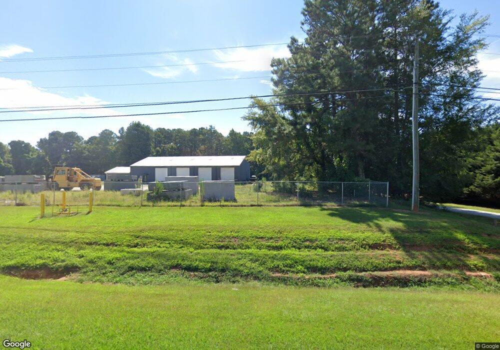
1119 Athens Hwy Elberton, GA 30635
Estimated Value: $84,327 - $175,000
--
Bed
--
Bath
--
Sq Ft
4.73
Acres
About This Home
This home is located at 1119 Athens Hwy, Elberton, GA 30635 and is currently estimated at $131,109. 1119 Athens Hwy is a home located in Elbert County with nearby schools including Elbert County Elementary School, Elbert County Primary School, and Elbert County Middle School.
Ownership History
Date
Name
Owned For
Owner Type
Purchase Details
Closed on
Sep 15, 2025
Sold by
Neal John Mark
Bought by
Neal Mark J
Current Estimated Value
Purchase Details
Closed on
Dec 31, 2008
Sold by
Neal Mark J
Bought by
Neal Rosalyn B
Purchase Details
Closed on
Mar 28, 2005
Sold by
Parham Omer S
Bought by
Parham Estelle Pitts
Home Financials for this Owner
Home Financials are based on the most recent Mortgage that was taken out on this home.
Original Mortgage
$60,150
Interest Rate
5.62%
Purchase Details
Closed on
Jun 1, 1982
Purchase Details
Closed on
Jan 1, 1973
Purchase Details
Closed on
Jan 1, 1960
Create a Home Valuation Report for This Property
The Home Valuation Report is an in-depth analysis detailing your home's value as well as a comparison with similar homes in the area
Home Values in the Area
Average Home Value in this Area
Purchase History
| Date | Buyer | Sale Price | Title Company |
|---|---|---|---|
| Neal Mark J | -- | -- | |
| Neal Rosalyn B | -- | -- | |
| Parham Estelle Pitts | -- | -- | |
| Neal Mark J | $60,000 | -- | |
| -- | $13,500 | -- | |
| -- | $26,000 | -- | |
| -- | -- | -- |
Source: Public Records
Mortgage History
| Date | Status | Borrower | Loan Amount |
|---|---|---|---|
| Previous Owner | Neal Mark J | $60,150 |
Source: Public Records
Tax History Compared to Growth
Tax History
| Year | Tax Paid | Tax Assessment Tax Assessment Total Assessment is a certain percentage of the fair market value that is determined by local assessors to be the total taxable value of land and additions on the property. | Land | Improvement |
|---|---|---|---|---|
| 2024 | $503 | $20,998 | $20,846 | $152 |
| 2023 | $503 | $20,998 | $20,846 | $152 |
| 2022 | $398 | $16,591 | $16,456 | $135 |
| 2021 | $398 | $16,591 | $16,456 | $135 |
| 2020 | $417 | $15,352 | $15,165 | $187 |
| 2019 | $433 | $15,352 | $15,165 | $187 |
| 2018 | $447 | $15,352 | $15,165 | $187 |
| 2017 | $484 | $15,395 | $15,165 | $230 |
| 2016 | $452 | $15,395 | $15,165 | $230 |
| 2015 | -- | $15,395 | $15,165 | $230 |
| 2014 | -- | $15,395 | $15,165 | $230 |
| 2013 | -- | $15,395 | $15,165 | $230 |
Source: Public Records
Map
Nearby Homes
- 0 Pulliam St Unit 7659662
- 0 Pulliam St Unit 10616872
- TRACT 4 Thornton Dr
- TRACT 1 Thornton Dr
- TRACT 2 THORNTO Thornton Dr
- TRACT 3 Thornton Dr
- 00 Athens Hwy
- 0 Beechwood Rd Unit 7620253
- 243 W Tate St
- 1133 Kathwood Dr
- 170 Lake Forest Dr
- 270 Dogwood Ln
- 136 Forest Ave
- 89 College Ave
- 143 Lake Forest Cir
- 108 Brookhaven Cir
- 62 Oak St
- 118 Oak Dr
- 1020 Hickory Dr
- 0 Oak Dr Unit 7643600
- 0 Tate St Unit 8358416
- 1100 Bowman Hwy
- 1128 W Tate St
- 1126 W Tate St
- 812 Mercer Dr
- 1 Mercer Dr
- 0 Mercer Dr Unit 7333158
- 822 Mercer Dr
- 701 Brewers Bridge Rd
- 815 Mercer Dr
- 0 Monumental Dr Unit 8058006
- 0 Monumental Dr
- 826 Mercer Dr
- 836 Mercer Dr
- W W Tate Street Extension
- 0 Railroad St Unit 7313060
- 1131 Athens Hwy
- 1071 Brewers Bridge Rd
- 0000 W Tate Street Extension
- 0 Brewers Bridge Rd Unit 20166102