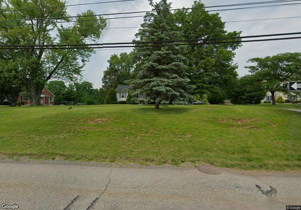
1119 Ben Franklin Hwy W Douglassville, PA 19518
Amity NeighborhoodEstimated Value: $223,000 - $320,795
2
Beds
2
Baths
1,041
Sq Ft
$272/Sq Ft
Est. Value
About This Home
This home is located at 1119 Ben Franklin Hwy W, Douglassville, PA 19518 and is currently estimated at $283,449, approximately $272 per square foot. 1119 Ben Franklin Hwy W is a home located in Berks County with nearby schools including Daniel Boone Area Primary Center, Daniel Boone Area Middle School, and Daniel Boone Area High School.
Ownership History
Date
Name
Owned For
Owner Type
Purchase Details
Closed on
Apr 14, 2016
Sold by
Snyder James H and Snyder Edward R
Bought by
Snyder Andrew D and Snyder Edward R
Current Estimated Value
Home Financials for this Owner
Home Financials are based on the most recent Mortgage that was taken out on this home.
Original Mortgage
$80,100
Outstanding Balance
$63,635
Interest Rate
3.68%
Mortgage Type
New Conventional
Estimated Equity
$219,814
Purchase Details
Closed on
Feb 21, 2013
Sold by
Snyder James H and Snyder Edward R
Bought by
Snyder James H and Snyder Edward R
Purchase Details
Closed on
Mar 26, 1963
Bought by
Snyder Margaret H Est % Edward R Snyder
Create a Home Valuation Report for This Property
The Home Valuation Report is an in-depth analysis detailing your home's value as well as a comparison with similar homes in the area
Home Values in the Area
Average Home Value in this Area
Purchase History
| Date | Buyer | Sale Price | Title Company |
|---|---|---|---|
| Snyder Andrew D | -- | None Available | |
| Snyder James H | -- | None Available | |
| Snyder Margaret H Est % Edward R Snyder | -- | -- |
Source: Public Records
Mortgage History
| Date | Status | Borrower | Loan Amount |
|---|---|---|---|
| Open | Snyder Andrew D | $80,100 |
Source: Public Records
Tax History Compared to Growth
Tax History
| Year | Tax Paid | Tax Assessment Tax Assessment Total Assessment is a certain percentage of the fair market value that is determined by local assessors to be the total taxable value of land and additions on the property. | Land | Improvement |
|---|---|---|---|---|
| 2025 | $1,399 | $107,300 | $40,200 | $67,100 |
| 2024 | $4,787 | $107,300 | $40,200 | $67,100 |
| 2023 | $4,689 | $107,300 | $40,200 | $67,100 |
| 2022 | $4,629 | $107,300 | $40,200 | $67,100 |
| 2021 | $4,511 | $107,300 | $40,200 | $67,100 |
| 2020 | $4,511 | $107,300 | $40,200 | $67,100 |
| 2019 | $4,431 | $107,300 | $40,200 | $67,100 |
| 2018 | $4,341 | $107,300 | $40,200 | $67,100 |
| 2017 | $4,241 | $107,300 | $40,200 | $67,100 |
| 2016 | $980 | $107,300 | $40,200 | $67,100 |
| 2015 | $980 | $107,300 | $40,200 | $67,100 |
| 2014 | $980 | $107,300 | $40,200 | $67,100 |
Source: Public Records
Map
Nearby Homes
- 0 W Rte 422 Unit PABK2064208
- 108 Briarwood Dr
- Lot 1 N Monocacy Cre Benjamin Franklin Hwy
- Lot 3 Benjamin Franklin Hwy
- Lot 4 Benjamin Franklin Hwy
- 216 Laurelwood Dr
- 102 Old Airport Rd
- 519 Glenwood Dr
- 2022 E Main St
- 2012 E Main St
- 11 Morlatton Rd
- 108 Letort Ln
- 14 Charles Ave
- 26 Joseph Ave
- 353 Douglass Dr
- 639 Old Airport Rd
- 4 Joseph Ave
- 101 Ronald Ave
- 3 Joseph Ave
- 89 Valley View Rd
- 1111 Ben Franklin Hwy W
- 1107 Ben Franklin Hwy W
- 1123 Ben Franklin Hwy W
- 1131 Ben Franklin Hwy W
- 1111 Ben Franklin Hwy E
- 1103 Ben Franklin Hwy E
- 1107 Ben Franklin Hwy E
- 30 Edison Rd
- 1099 Ben Franklin Hwy E
- 1095 Ben Franklin Hwy E
- 1091 Ben Franklin Hwy W
- 736 Lake Dr
- 1148 Ben Franklin Hwy W
- 738 Lake Dr
- 1139 Ben Franklin Hwy W
- 1139 Ben Franklin Hwy W Unit 5 & 7
- 1139 Ben Franklin Hwy W Unit 5
- 5 Maplewood Ct
- 106 Briarwood Dr
- 6 Maplewood Ct