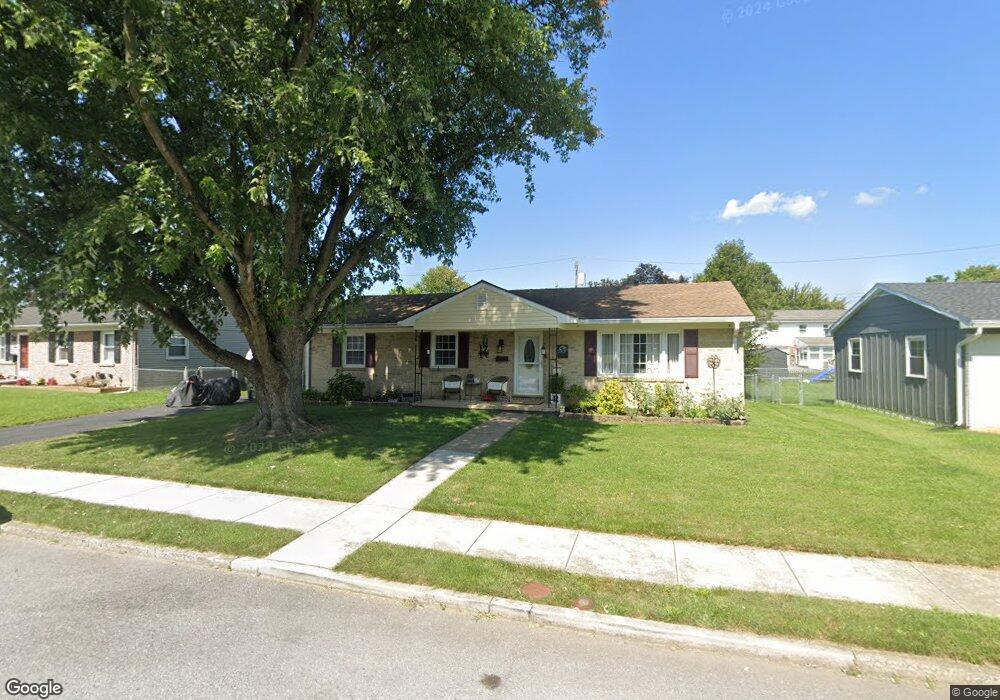
1119 Carroll Heights Blvd Hagerstown, MD 21742
Northwest Hagerstown NeighborhoodEstimated Value: $285,185 - $334,000
--
Bed
2
Baths
1,526
Sq Ft
$204/Sq Ft
Est. Value
About This Home
This home is located at 1119 Carroll Heights Blvd, Hagerstown, MD 21742 and is currently estimated at $310,546, approximately $203 per square foot. 1119 Carroll Heights Blvd is a home located in Washington County with nearby schools including Fountaindale Elementary School, Western Heights Middle School, and North Hagerstown High School.
Ownership History
Date
Name
Owned For
Owner Type
Purchase Details
Closed on
Jan 13, 2012
Sold by
Maddock Scott M and Maddock Laura M
Bought by
Maddock Laura M
Current Estimated Value
Purchase Details
Closed on
Apr 30, 1999
Sold by
Barnhart Robert W
Bought by
Maddock Scott M and Maddock Laura M
Create a Home Valuation Report for This Property
The Home Valuation Report is an in-depth analysis detailing your home's value as well as a comparison with similar homes in the area
Home Values in the Area
Average Home Value in this Area
Purchase History
| Date | Buyer | Sale Price | Title Company |
|---|---|---|---|
| Maddock Laura M | $12,000 | None Available | |
| Maddock Scott M | $92,000 | -- |
Source: Public Records
Mortgage History
| Date | Status | Borrower | Loan Amount |
|---|---|---|---|
| Closed | Maddock Scott M | -- |
Source: Public Records
Tax History Compared to Growth
Tax History
| Year | Tax Paid | Tax Assessment Tax Assessment Total Assessment is a certain percentage of the fair market value that is determined by local assessors to be the total taxable value of land and additions on the property. | Land | Improvement |
|---|---|---|---|---|
| 2025 | $1,685 | $241,600 | $42,000 | $199,600 |
| 2024 | $1,685 | $220,267 | $0 | $0 |
| 2023 | $1,601 | $198,933 | $0 | $0 |
| 2022 | $1,509 | $177,600 | $42,000 | $135,600 |
| 2021 | $1,390 | $165,600 | $0 | $0 |
| 2020 | $1,390 | $153,600 | $0 | $0 |
| 2019 | $1,324 | $141,600 | $42,000 | $99,600 |
| 2018 | $1,324 | $141,600 | $42,000 | $99,600 |
| 2017 | $1,324 | $141,600 | $0 | $0 |
| 2016 | -- | $145,800 | $0 | $0 |
| 2015 | -- | $145,800 | $0 | $0 |
| 2014 | $2,339 | $145,800 | $0 | $0 |
Source: Public Records
Map
Nearby Homes
- 1229 Wayne Ave
- 1223 Glenwood Ave
- 1349 Cedarwood Dr
- 1113 Green Ln
- 1328 Outer Dr
- 1424 Outer Dr
- 0 Haven Rd
- 1181 Wayne Ave
- 908 Beechwood Dr
- 1259 Fairchild Ave
- 1050 Lindsay Ln
- 1006 W Irvin Ave
- 1026 Lindsay Ln
- 1028 Lindsay Ln
- 1305 Pennsylvania Ave
- 912 Mercer Dr
- 901 Beechwood Dr
- 1019 Lindsay Ln
- 1072 Kasinof Ave
- 1027 Matthew Ct
- 1111 Carroll Heights Blvd
- 1127 Carroll Heights Blvd
- 1048 Bramly Dr
- 1044 Bramly Dr
- 1052 Bramly Dr
- 1151 Carroll Heights Blvd
- 1101 Carroll Heights Blvd
- 1040 Bramly Dr
- 1056 Bramly Dr
- 1116 Carroll Heights Blvd
- 1112 Carroll Heights Blvd
- 1120 Carroll Heights Blvd
- 1108 Carroll Heights Blvd
- 1150 Carroll Heights Blvd
- 1036 Bramly Dr
- 1057 Carroll Heights Blvd
- 1100 Carroll Heights Blvd
- 1060 Bramly Dr
- 1045 Bramly Dr
- 1143 Sunnyside Dr