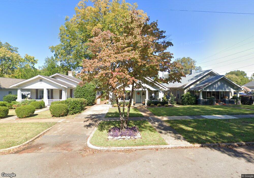
1119 Clinton Ave E Huntsville, AL 35801
Five Points NeighborhoodEstimated Value: $402,000 - $568,000
--
Bed
--
Bath
1,376
Sq Ft
$357/Sq Ft
Est. Value
About This Home
This home is located at 1119 Clinton Ave E, Huntsville, AL 35801 and is currently estimated at $491,195, approximately $356 per square foot. 1119 Clinton Ave E is a home with nearby schools including Blossomwood Elementary School, Huntsville Junior High School, and Huntsville High School.
Ownership History
Date
Name
Owned For
Owner Type
Purchase Details
Closed on
Oct 30, 2018
Sold by
Propst Charles V
Bought by
Johnston James B and Johnston Breanna L
Current Estimated Value
Home Financials for this Owner
Home Financials are based on the most recent Mortgage that was taken out on this home.
Original Mortgage
$310,620
Outstanding Balance
$271,480
Interest Rate
4.7%
Mortgage Type
New Conventional
Estimated Equity
$219,715
Purchase Details
Closed on
Jun 16, 2017
Sold by
Batson James L and Crump Bryant
Bought by
Propst Charles V
Purchase Details
Closed on
Dec 15, 2006
Sold by
Little Halley R
Bought by
Batson James L
Create a Home Valuation Report for This Property
The Home Valuation Report is an in-depth analysis detailing your home's value as well as a comparison with similar homes in the area
Home Values in the Area
Average Home Value in this Area
Purchase History
| Date | Buyer | Sale Price | Title Company |
|---|---|---|---|
| Johnston James B | $334,000 | None Available | |
| Propst Charles V | $145,000 | None Available | |
| Batson James L | -- | -- |
Source: Public Records
Mortgage History
| Date | Status | Borrower | Loan Amount |
|---|---|---|---|
| Open | Johnston James B | $310,620 |
Source: Public Records
Tax History Compared to Growth
Tax History
| Year | Tax Paid | Tax Assessment Tax Assessment Total Assessment is a certain percentage of the fair market value that is determined by local assessors to be the total taxable value of land and additions on the property. | Land | Improvement |
|---|---|---|---|---|
| 2025 | $1,747 | $30,120 | $6,220 | $23,900 |
| 2024 | $1,747 | $29,700 | $6,220 | $23,480 |
| 2023 | $1,723 | $29,440 | $6,220 | $23,220 |
| 2022 | $1,599 | $28,400 | $5,820 | $22,580 |
| 2021 | $1,410 | $25,140 | $5,040 | $20,100 |
| 2020 | $1,310 | $23,420 | $5,040 | $18,380 |
| 2019 | $2,413 | $20,800 | $5,040 | $15,760 |
| 2018 | $1,624 | $28,000 | $0 | $0 |
| 2017 | $1,624 | $28,000 | $0 | $0 |
| 2016 | $1,624 | $28,000 | $0 | $0 |
| 2015 | $1,624 | $28,000 | $0 | $0 |
| 2014 | $1,674 | $28,860 | $0 | $0 |
Source: Public Records
Map
Nearby Homes
- 1303 Wells Ave SE Unit B
- 1723 Ward Ave NE
- 721 Randolph Ave SE
- 309 Cambridge St SE
- 717 Eustis Ave SE
- 1222 Beirne Ave NE
- 205 Dement St NE
- 610 3B Randolph Ave Unit 3B
- 610 3A Randolph Ave Unit 3A
- 610 1D Randolph Ave Unit 1D
- 610 2B Randolph Ave Unit 2B
- 610 2C Randolph Ave Unit 2C
- 610 3C Randolph Ave Unit 3C
- 1414 Beirne Ave NE
- 1 Maysville Rd SE
- 1518 Beirne Ave NE
- 610 1A Randolph Ave Unit 1A
- 1611 Wells Ave SE
- 1120 Oshaughnessy Ave NE
- 803 Mccullough Ave NE
- 1121 Clinton Ave E
- 1115 Clinton Ave E
- 1113 Clinton Ave E
- 1111 Clinton Ave E
- 1107 Clinton Ave E
- 1122 Clinton Ave E
- 1205 Clinton Ave E
- 1122 Wellman Ave NE Unit 4
- 1122 Wellman Ave NE Unit 3
- 1122 Wellman Ave NE Unit 4
- 1122 Wellman Ave NE Unit 2
- 1122 Wellman Ave NE Unit 1,3,4
- 1122 Wellman Ave NE Unit 1
- 1122 Wellman Ave NE
- 1114 Clinton Ave E
- 1105 Clinton Ave E
- 1122 Unit 3 Wellman Ave Unit 3
- 1118 Wellman Ave NE
- 1122 Condo 1 Wellman Ave Unit Condo 1
- 1112 Wellman Ave NE