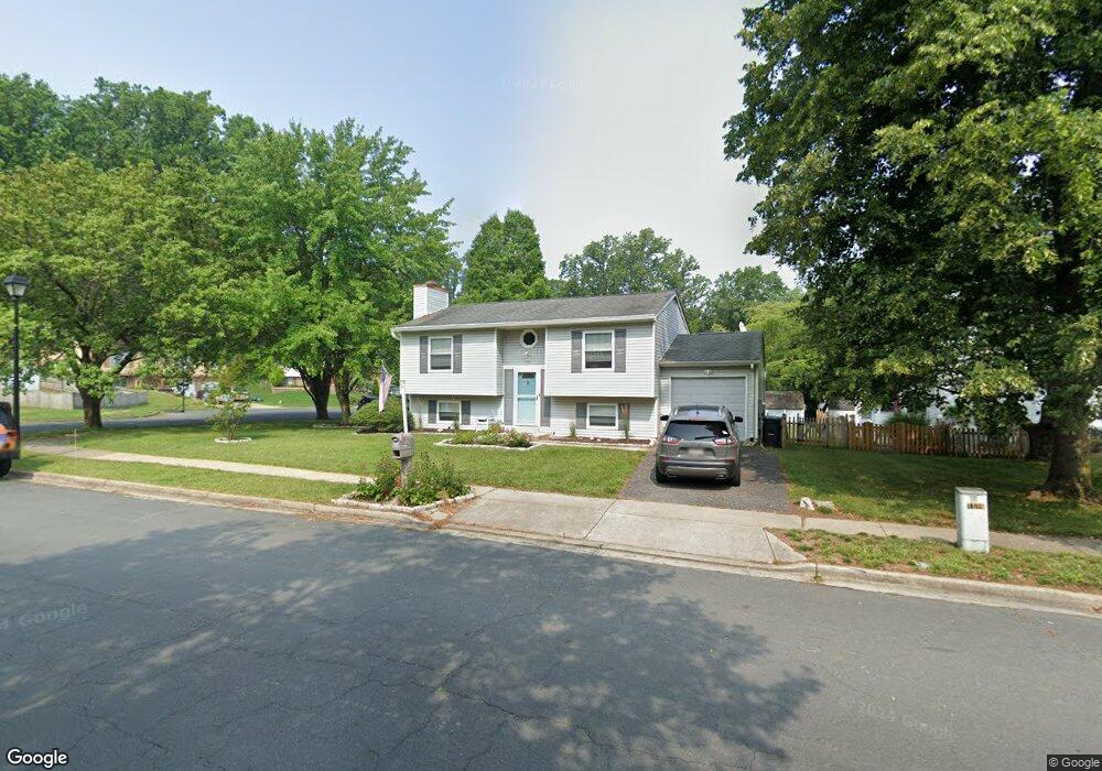
1119 Coral Ct Annapolis, MD 21409
Cape Saint Claire NeighborhoodEstimated Value: $474,279 - $578,000
--
Bed
2
Baths
1,244
Sq Ft
$416/Sq Ft
Est. Value
About This Home
This home is located at 1119 Coral Ct, Annapolis, MD 21409 and is currently estimated at $518,070, approximately $416 per square foot. 1119 Coral Ct is a home located in Anne Arundel County with nearby schools including Cape St. Claire Elementary School, Magothy River Middle School, and Broadneck High School.
Ownership History
Date
Name
Owned For
Owner Type
Purchase Details
Closed on
Nov 16, 2017
Sold by
Richardson Keith and Richardson Christina
Bought by
Richardson Christina and Richardson Keith
Current Estimated Value
Purchase Details
Closed on
Nov 22, 1985
Bought by
Richardson Keith and Richardson Christina
Home Financials for this Owner
Home Financials are based on the most recent Mortgage that was taken out on this home.
Original Mortgage
$79,900
Interest Rate
11.64%
Create a Home Valuation Report for This Property
The Home Valuation Report is an in-depth analysis detailing your home's value as well as a comparison with similar homes in the area
Home Values in the Area
Average Home Value in this Area
Purchase History
| Date | Buyer | Sale Price | Title Company |
|---|---|---|---|
| Richardson Christina | -- | None Available | |
| Richardson Keith | $89,900 | -- |
Source: Public Records
Mortgage History
| Date | Status | Borrower | Loan Amount |
|---|---|---|---|
| Closed | Richardson Keith | $79,900 |
Source: Public Records
Tax History Compared to Growth
Tax History
| Year | Tax Paid | Tax Assessment Tax Assessment Total Assessment is a certain percentage of the fair market value that is determined by local assessors to be the total taxable value of land and additions on the property. | Land | Improvement |
|---|---|---|---|---|
| 2025 | $3,101 | $439,800 | -- | -- |
| 2024 | $3,101 | $410,000 | $253,300 | $156,700 |
| 2023 | $2,541 | $401,800 | $0 | $0 |
| 2022 | $2,823 | $393,600 | $0 | $0 |
| 2021 | $2,683 | $385,400 | $228,300 | $157,100 |
| 2020 | $2,683 | $372,567 | $0 | $0 |
| 2019 | $5,158 | $359,733 | $0 | $0 |
| 2018 | $3,518 | $346,900 | $184,900 | $162,000 |
| 2017 | $2,471 | $329,633 | $0 | $0 |
| 2016 | -- | $312,367 | $0 | $0 |
| 2015 | -- | $295,100 | $0 | $0 |
| 2014 | -- | $295,100 | $0 | $0 |
Source: Public Records
Map
Nearby Homes
- 1165 Green Holly Ct
- 1167 Green Holly Dr
- 1181 Ramblewood Dr
- 1138 Ramblewood Dr
- 971 Saint Margarets Dr
- 1199 Ramblewood Dr
- 786 Rolling View Dr
- 810 Chestnut Tree Dr
- 1031 Lake Claire Dr
- 1214 Ramblewood Dr
- 959 Morgan Dr
- 1019 Landon Ln
- 975 Phillips Dr
- 1247 Ramblewood Dr
- 1094 Linden Tree Drive - Taft Model
- 1096
- 1162 Saint George Dr
- 932 Hilltop Rd
- 1217 Hampton Rd
- 1219 Hampton Rd
- 1120 Mermaid Dr
- 1117 Coral Ct
- 1118 Mermaid Dr
- 947 Marine Dr
- 1115 Coral Ct
- 938 Marine Dr
- 949 Marine Dr
- 1114 Coral Ct
- 1116 Coral Ct
- 1115 Mermaid Dr
- 1116 Mermaid Dr
- 945 Marine Dr
- 1124 Mermaid Dr
- 1157 Ramblewood Dr
- 951 Seahorse Ct
- 943 Marine Dr
- 1155 Ramblewood Dr
- 1159 Ramblewood Dr
- 946 Marine Dr
- 936 Marine Dr