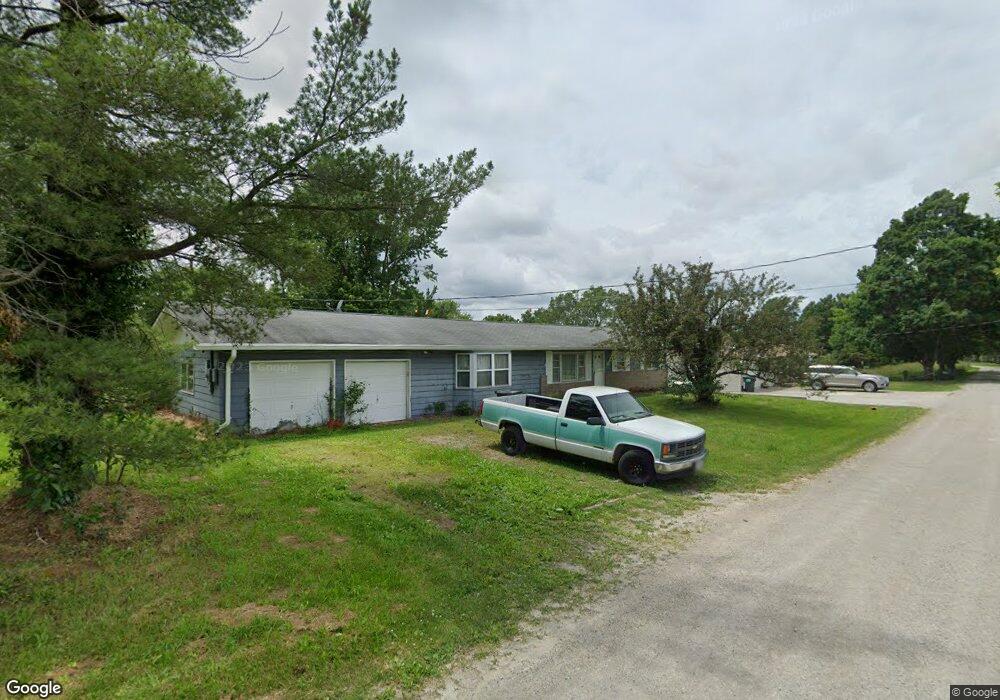
1119 Crystal Dr Saint Charles, MO 63304
Estimated Value: $224,000 - $304,000
2
Beds
2
Baths
1,406
Sq Ft
$188/Sq Ft
Est. Value
About This Home
This home is located at 1119 Crystal Dr, Saint Charles, MO 63304 and is currently estimated at $263,847, approximately $187 per square foot. 1119 Crystal Dr is a home located in St. Charles County with nearby schools including Warren Elementary School, Francis Howell Middle School, and Francis Howell Union High School.
Ownership History
Date
Name
Owned For
Owner Type
Purchase Details
Closed on
Jul 30, 2012
Sold by
Moore John and Moore Kathleen
Bought by
Hanna Timothy
Current Estimated Value
Home Financials for this Owner
Home Financials are based on the most recent Mortgage that was taken out on this home.
Original Mortgage
$95,000
Outstanding Balance
$65,842
Interest Rate
3.68%
Mortgage Type
New Conventional
Estimated Equity
$198,005
Purchase Details
Closed on
Jul 23, 2001
Sold by
Foor Blume Deanne M and Blume Kevin J
Bought by
Moore John and Moore Kathleen
Home Financials for this Owner
Home Financials are based on the most recent Mortgage that was taken out on this home.
Original Mortgage
$90,000
Interest Rate
7.07%
Create a Home Valuation Report for This Property
The Home Valuation Report is an in-depth analysis detailing your home's value as well as a comparison with similar homes in the area
Home Values in the Area
Average Home Value in this Area
Purchase History
| Date | Buyer | Sale Price | Title Company |
|---|---|---|---|
| Hanna Timothy | $100,000 | Ust | |
| Moore John | -- | -- |
Source: Public Records
Mortgage History
| Date | Status | Borrower | Loan Amount |
|---|---|---|---|
| Open | Hanna Timothy | $95,000 | |
| Previous Owner | Moore John | $90,000 |
Source: Public Records
Tax History Compared to Growth
Tax History
| Year | Tax Paid | Tax Assessment Tax Assessment Total Assessment is a certain percentage of the fair market value that is determined by local assessors to be the total taxable value of land and additions on the property. | Land | Improvement |
|---|---|---|---|---|
| 2025 | $1,562 | $29,453 | -- | -- |
| 2023 | $1,561 | $26,344 | $0 | $0 |
| 2022 | $1,386 | $21,730 | $0 | $0 |
| 2021 | $1,387 | $21,730 | $0 | $0 |
| 2020 | $1,508 | $22,864 | $0 | $0 |
| 2019 | $1,501 | $22,864 | $0 | $0 |
| 2018 | $1,463 | $21,306 | $0 | $0 |
| 2017 | $1,450 | $21,306 | $0 | $0 |
| 2016 | $1,422 | $20,118 | $0 | $0 |
| 2015 | $1,419 | $20,118 | $0 | $0 |
| 2014 | $1,532 | $21,066 | $0 | $0 |
Source: Public Records
Map
Nearby Homes
- 25 Terre Verte Ct
- 5504 Dressel Dr
- 5579 Westerfield Pkwy Unit 8B
- 828 Nancy Ln
- 5576 Wavecrest Cir
- 102 Deer Meadow Ct
- 5701 Wrenwyck Place
- 5425 Independence Rd
- 344 Mason Ridge Dr
- 232 Maple Point Dr
- 5756 Westchester Farm Dr
- 22 Misty Ridge Ct
- 0 Universal Design Prairie Bluff Unit MAR24041208
- 1622 Piedmont Cir Unit 5C
- 301 Switchgrass Landing Ln
- Rosemont Plan at Prairie Bluff - Heritage Collection
- Sierra Plan at Prairie Bluff - Heritage Collection
- Sierra – Universal Design Plan at Prairie Bluff - Heritage Collection
- Pierce Plan at Prairie Bluff - Heritage Collection
- Lancaster Plan at Prairie Bluff - Heritage Collection
- 1125 Crystal Dr
- 5415 Westwood Dr
- 1120 Crystal Dr
- 5395 Westwood Dr
- 1130 Crystal Dr
- 1138 Crystal Dr
- 5435 Westwood Dr
- 54355437 Westwood Dr
- 20 Jason Ct Unit 21-25
- 1126 Crystal Dr
- 1 Jason Ct
- 5378 Westwood Dr
- 10 Jason Ct
- 30 Jason Ct
- 5369 Westwood Dr
- 5461 Missouri 94
- 5471 Precious Stone Ct
- 5475 Precious Stone Ct
- 5465 Precious Stone Dr
- 5479 Precious Stone Ct