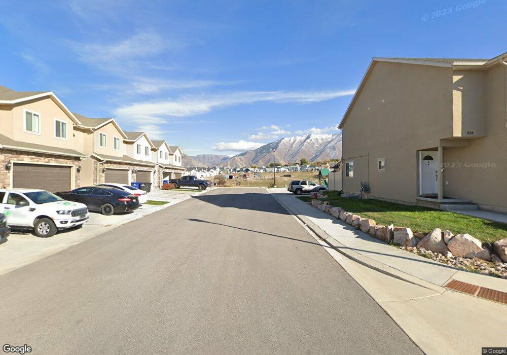
1119 E 870 N Spanish Fork, UT 84660
Estimated Value: $396,000 - $406,000
3
Beds
3
Baths
1,651
Sq Ft
$242/Sq Ft
Est. Value
About This Home
This home is located at 1119 E 870 N, Spanish Fork, UT 84660 and is currently estimated at $399,800, approximately $242 per square foot. 1119 E 870 N is a home located in Utah County with nearby schools including Rees Elementary School, Diamond Fork Junior High School, and Mapleton Junior High School.
Ownership History
Date
Name
Owned For
Owner Type
Purchase Details
Closed on
Dec 20, 2021
Sold by
Carter and Jessica
Bought by
Blackhurst Michael John and Carmona Rachel Ann
Current Estimated Value
Home Financials for this Owner
Home Financials are based on the most recent Mortgage that was taken out on this home.
Original Mortgage
$387,845
Outstanding Balance
$356,763
Interest Rate
3.12%
Mortgage Type
FHA
Estimated Equity
$43,037
Purchase Details
Closed on
Jun 5, 2019
Sold by
Good Moose Properties Llc
Bought by
Carter Kodie and Carter Jessica
Home Financials for this Owner
Home Financials are based on the most recent Mortgage that was taken out on this home.
Original Mortgage
$242,910
Interest Rate
4.2%
Mortgage Type
New Conventional
Create a Home Valuation Report for This Property
The Home Valuation Report is an in-depth analysis detailing your home's value as well as a comparison with similar homes in the area
Home Values in the Area
Average Home Value in this Area
Purchase History
| Date | Buyer | Sale Price | Title Company |
|---|---|---|---|
| Blackhurst Michael John | -- | Cottonwood Title | |
| Carter Kodie | -- | Wasatch Land & Title |
Source: Public Records
Mortgage History
| Date | Status | Borrower | Loan Amount |
|---|---|---|---|
| Open | Blackhurst Michael John | $387,845 | |
| Previous Owner | Carter Kodie | $242,910 |
Source: Public Records
Tax History Compared to Growth
Tax History
| Year | Tax Paid | Tax Assessment Tax Assessment Total Assessment is a certain percentage of the fair market value that is determined by local assessors to be the total taxable value of land and additions on the property. | Land | Improvement |
|---|---|---|---|---|
| 2025 | $1,968 | $202,620 | $54,200 | $314,200 |
| 2024 | $1,968 | $202,840 | $0 | $0 |
| 2023 | $1,911 | $197,175 | $0 | $0 |
| 2022 | $2,027 | $205,095 | $0 | $0 |
| 2021 | $1,732 | $280,400 | $42,100 | $238,300 |
| 2020 | $1,684 | $265,000 | $44,400 | $220,600 |
| 2019 | $198 | $18,000 | $18,000 | $0 |
| 2018 | $204 | $18,000 | $18,000 | $0 |
| 2017 | $209 | $18,000 | $0 | $0 |
Source: Public Records
Map
Nearby Homes
- 822 N 1120 E
- 1113 E 870 N
- 902 N 1120 E
- 1050 E 800 N Unit 13
- 1271 E 920 N
- 1261 E 680 N
- 1228 E 680 N
- 969 E 550 N
- 1213 E 540 N
- 453 N 1210 E
- 1083 E 400 N
- 1025 E 360 N Unit 5
- 1001 E 360 N Unit 7
- 1022 E 360 N Unit 27
- 991 E 360 N Unit 8
- 1004 E 360 N Unit 28
- 1589 E Ridgefield Rd
- 1495 E 400 N
- 2597 E 360 N Unit 16
- 314 N 1070 E
- 1119 E 870 N Unit 25
- 1123 E 870 N Unit 24
- 1115 E 870 N Unit 26
- 1113 E 870 N Unit 27
- 888 N 1120 E Unit 24
- 1141 E 870 N Unit 23
- 1109 E 870 N Unit 28
- 898 N 1120 E
- 898 N 1120 E Unit 25
- 1145 E 870 N Unit 22
- 1145 E 870 N
- 891 N 1120 E
- 857 N 1120 E
- 902 N 1120 E Unit 26
- 858 N 1120 E
- 899 N 1120 E
- 899 N 1120 E Unit 22
- 899 N 1120 E
- 1151 E 870 N Unit 21
- 889 N 1150 E