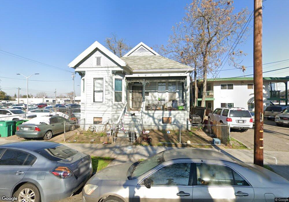
1119 E Channel St Stockton, CA 95205
Downtown Stockton NeighborhoodEstimated Value: $278,000 - $388,000
3
Beds
2
Baths
1,525
Sq Ft
$226/Sq Ft
Est. Value
About This Home
This home is located at 1119 E Channel St, Stockton, CA 95205 and is currently estimated at $345,298, approximately $226 per square foot. 1119 E Channel St is a home located in San Joaquin County with nearby schools including John C. Fremont Elementary School, King Elementary School, and Fillmore Elementary School.
Ownership History
Date
Name
Owned For
Owner Type
Purchase Details
Closed on
Jun 6, 2002
Sold by
United Transworld Import Export
Bought by
Townsell Christina
Current Estimated Value
Home Financials for this Owner
Home Financials are based on the most recent Mortgage that was taken out on this home.
Original Mortgage
$132,525
Outstanding Balance
$66,443
Interest Rate
9.5%
Estimated Equity
$278,855
Create a Home Valuation Report for This Property
The Home Valuation Report is an in-depth analysis detailing your home's value as well as a comparison with similar homes in the area
Home Values in the Area
Average Home Value in this Area
Purchase History
| Date | Buyer | Sale Price | Title Company |
|---|---|---|---|
| Townsell Christina | $139,500 | Alliance Title Company | |
| United Transworld Import Exports Inc | $45,000 | Alliance Title Company |
Source: Public Records
Mortgage History
| Date | Status | Borrower | Loan Amount |
|---|---|---|---|
| Open | Townsell Christina | $132,525 |
Source: Public Records
Tax History
| Year | Tax Paid | Tax Assessment Tax Assessment Total Assessment is a certain percentage of the fair market value that is determined by local assessors to be the total taxable value of land and additions on the property. | Land | Improvement |
|---|---|---|---|---|
| 2025 | $2,518 | $202,028 | $59,376 | $142,652 |
| 2024 | $2,478 | $198,067 | $58,212 | $139,855 |
| 2023 | $2,423 | $194,184 | $57,071 | $137,113 |
| 2022 | $2,378 | $190,377 | $55,952 | $134,425 |
| 2021 | $2,285 | $186,645 | $54,855 | $131,790 |
| 2020 | $2,329 | $184,732 | $54,293 | $130,439 |
| 2019 | $2,320 | $181,111 | $53,229 | $127,882 |
| 2018 | $2,562 | $129,000 | $38,000 | $91,000 |
| 2017 | $1,606 | $129,000 | $38,000 | $91,000 |
| 2016 | $2,241 | $174,080 | $51,163 | $122,917 |
| 2014 | $1,367 | $107,000 | $32,000 | $75,000 |
Source: Public Records
Map
Nearby Homes
- 1200 E Miner Ave
- 1211 E Main St
- 29 S Sierra Nevada St
- 1123 E Washington St
- 727 E Lindsay St
- 1224 E Lafayette St
- 345 S Pilgrim St
- 336 S Airport Way
- 1245 E Poplar St
- 709 E Sonora St
- 548 E Park St
- 143 S California St
- 442 N Sutter St
- 1237 E Hazelton Ave
- 430 E Oak St
- 0 Aurora Unit 225054400
- 715 N Sutter St
- 747 N Sutter St
- 444 N Hunter St
- 430 E Acacia St
- 1129 E Channel St
- 1139 E Channel St
- 219 N Pilgrim St
- 1143 E Channel St
- 220 N Pilgrim St
- 1209 E Channel St
- 236 N Pilgrim St
- 1206 E Channel St
- 1212 E Channel St
- 1206 E Miner Ave
- 1219 E Channel St
- 1208 E Miner Ave
- 1220 E Channel St
- 114 N Pilgrim St
- 1227 E Channel St
- 1220 E Miner Ave
- 1205 E Weber Ave
- 1201 E Miner Ave
- 320 N Union St
- 225 N Airport Way
Your Personal Tour Guide
Ask me questions while you tour the home.