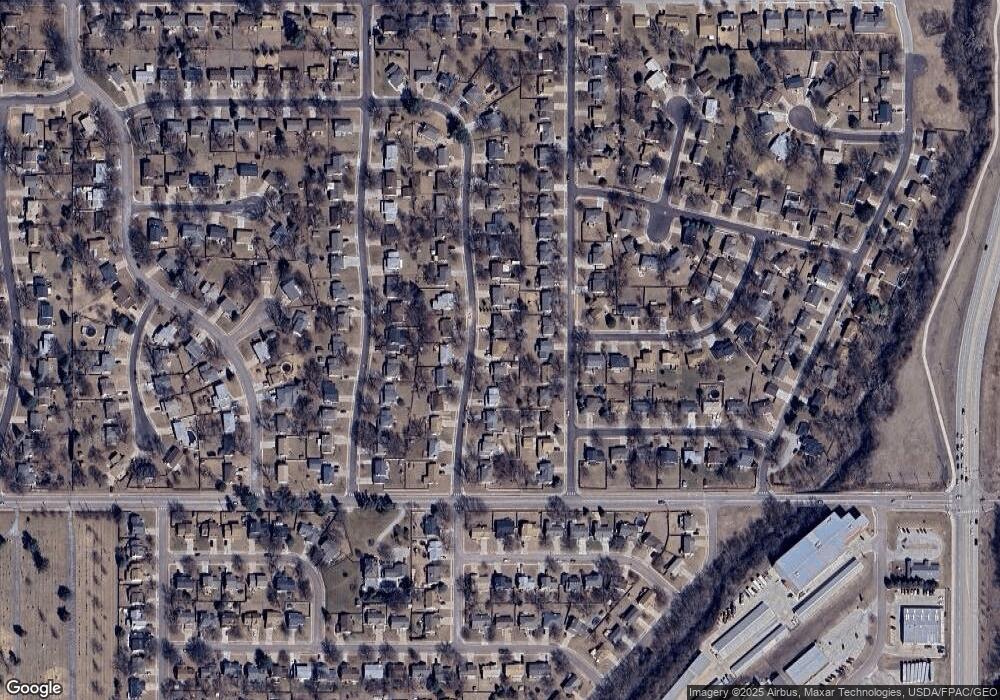
1119 La Port Dr Papillion, NE 68046
Estimated Value: $283,000 - $306,647
3
Beds
2
Baths
1,376
Sq Ft
$211/Sq Ft
Est. Value
About This Home
This home is located at 1119 La Port Dr, Papillion, NE 68046 and is currently estimated at $290,412, approximately $211 per square foot. 1119 La Port Dr is a home located in Sarpy County with nearby schools including Carriage Hill Elementary School, Papillion Middle School, and Papillion La Vista South High School.
Ownership History
Date
Name
Owned For
Owner Type
Purchase Details
Closed on
Jan 10, 2025
Sold by
Prestito Bessie G and Prestito George E
Bought by
Williams Jordon N and Williams Madison R
Current Estimated Value
Home Financials for this Owner
Home Financials are based on the most recent Mortgage that was taken out on this home.
Original Mortgage
$286,020
Outstanding Balance
$283,952
Interest Rate
6.6%
Mortgage Type
VA
Estimated Equity
$6,460
Purchase Details
Closed on
Mar 16, 2006
Sold by
Prestito Ralph and Prestito Bessie G
Bought by
Prestito George E and Prestito Ralph Anthony
Purchase Details
Closed on
May 30, 2000
Sold by
Benton Michael S
Bought by
Prestito Ralph and Prestito Bessie G
Purchase Details
Closed on
Jul 28, 1999
Sold by
Haley Rickey D
Bought by
Benton Michael S
Home Financials for this Owner
Home Financials are based on the most recent Mortgage that was taken out on this home.
Original Mortgage
$89,207
Interest Rate
7.63%
Create a Home Valuation Report for This Property
The Home Valuation Report is an in-depth analysis detailing your home's value as well as a comparison with similar homes in the area
Home Values in the Area
Average Home Value in this Area
Purchase History
| Date | Buyer | Sale Price | Title Company |
|---|---|---|---|
| Williams Jordon N | $280,000 | Rts Title & Escrow | |
| Prestito George E | -- | None Available | |
| Prestito Ralph | $103,000 | -- | |
| Benton Michael S | $105,000 | -- |
Source: Public Records
Mortgage History
| Date | Status | Borrower | Loan Amount |
|---|---|---|---|
| Open | Williams Jordon N | $286,020 | |
| Previous Owner | Benton Michael S | $89,207 |
Source: Public Records
Tax History Compared to Growth
Tax History
| Year | Tax Paid | Tax Assessment Tax Assessment Total Assessment is a certain percentage of the fair market value that is determined by local assessors to be the total taxable value of land and additions on the property. | Land | Improvement |
|---|---|---|---|---|
| 2025 | -- | $255,123 | $45,000 | $210,123 |
| 2024 | -- | $237,467 | $40,000 | $197,467 |
| 2023 | -- | $217,164 | $40,000 | $177,164 |
| 2022 | $0 | $194,560 | $35,000 | $159,560 |
| 2021 | $591 | $178,932 | $30,000 | $148,932 |
| 2020 | $949 | $169,710 | $29,000 | $140,710 |
| 2019 | $0 | $165,488 | $29,000 | $136,488 |
| 2018 | $0 | $150,648 | $22,000 | $128,648 |
| 2017 | $0 | $138,780 | $22,000 | $116,780 |
| 2016 | -- | $135,837 | $22,000 | $113,837 |
| 2015 | $190 | $129,129 | $22,000 | $107,129 |
| 2014 | $190 | $127,245 | $22,000 | $105,245 |
| 2012 | -- | $129,174 | $22,000 | $107,174 |
Source: Public Records
Map
Nearby Homes
- 1111 Laport Dr
- 1126 Hackney Dr
- 923 Arlene Cir
- 1118 S Grandview Ave
- 1120 Delmar St Unit 4B
- 1301 Troy St
- 308 Crest Rd
- 206 Sumter Cir
- 704 Valley Rd
- 217 Sumter Cir
- 205 Sea Pines Dr
- 209 Sea Pines Dr
- Lot 52 Unit Lot 52
- Lot 289 Granite Lake
- LOT 293 Granite Lake
- 2105 Marilyn Dr
- 207 Hilton Head Dr
- 2004 Longview St
- 6915 Port Royal Dr
- 12019 S 79th Ave
- 1121 La Port Dr
- 1117 La Port Dr
- 1128 Michelle Pkwy
- 1123 La Port Dr
- 1126 Michelle Pkwy
- 1130 Michelle Pkwy
- 1115 La Port Dr
- 1115 Laport Dr
- 1120 La Port Dr
- 1118 La Port Dr
- 1124 Michelle Pkwy
- 1132 Michelle Pkwy
- 1122 La Port Dr
- 1122 Laport Dr
- 1125 La Port Dr
- 1125 Laport Dr
- 1116 Laport Dr
- 1113 Laport Dr
- 1116 La Port Dr
- 1113 La Port Dr
