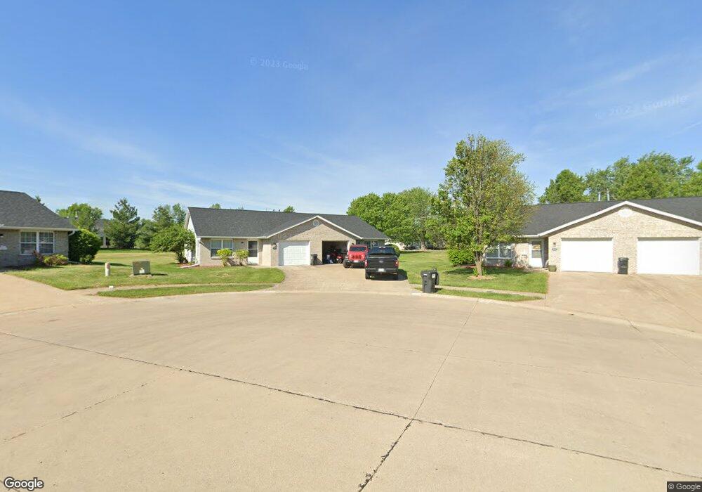
1119 Lowry Ct Unit 28B Moberly, MO 65270
Estimated Value: $154,000 - $167,000
2
Beds
2
Baths
1,092
Sq Ft
$147/Sq Ft
Est. Value
About This Home
This home is located at 1119 Lowry Ct Unit 28B, Moberly, MO 65270 and is currently estimated at $160,348, approximately $146 per square foot. 1119 Lowry Ct Unit 28B is a home located in Randolph County with nearby schools including Moberly Senior High School, St. Pius X. Catholic School, and Maranatha Seventh-day Adventist School.
Ownership History
Date
Name
Owned For
Owner Type
Purchase Details
Closed on
Dec 21, 2022
Sold by
Dillabough Martha A
Bought by
Sterling Price Investments Llc
Current Estimated Value
Purchase Details
Closed on
Jun 1, 2006
Sold by
Sterling Price Investments Llc
Bought by
Christian Kenneth M and Christian Marjorie L
Create a Home Valuation Report for This Property
The Home Valuation Report is an in-depth analysis detailing your home's value as well as a comparison with similar homes in the area
Home Values in the Area
Average Home Value in this Area
Purchase History
| Date | Buyer | Sale Price | Title Company |
|---|---|---|---|
| Sterling Price Investments Llc | -- | -- | |
| Christian Kenneth M | $75,000 | -- |
Source: Public Records
Tax History Compared to Growth
Tax History
| Year | Tax Paid | Tax Assessment Tax Assessment Total Assessment is a certain percentage of the fair market value that is determined by local assessors to be the total taxable value of land and additions on the property. | Land | Improvement |
|---|---|---|---|---|
| 2025 | $1,079 | $16,780 | $1,741 | $15,039 |
| 2024 | $1,079 | $14,820 | $1,520 | $13,300 |
| 2023 | $1,096 | $14,820 | $1,520 | $13,300 |
| 2022 | $1,034 | $14,360 | $1,520 | $12,840 |
| 2021 | $1,033 | $14,360 | $1,520 | $12,840 |
| 2020 | $1,033 | $14,360 | $1,520 | $12,840 |
| 2019 | $1,031 | $14,360 | $1,520 | $12,840 |
| 2018 | $1,028 | $14,360 | $1,520 | $12,840 |
| 2017 | $1,026 | $14,360 | $0 | $0 |
| 2016 | $1,030 | $14,500 | $0 | $0 |
| 2014 | -- | $13,830 | $0 | $0 |
| 2013 | -- | $13,830 | $0 | $0 |
| 2012 | -- | $13,760 | $0 | $0 |
Source: Public Records
Map
Nearby Homes
- 1216 Shepherds Dr
- 1000 S Williams St
- 411 Shumate Ave
- 417 W Longview St
- 432 W Longview St
- 1365 Lantern Pointe Dr
- 809 S 4th St
- 713 Homestead Dr
- 700 S 5th St
- 602 Gilman St
- 208 Wisdom St
- 608 Gilman St
- 319 Halleck St
- 517 S Clark St
- 708 Gilman St
- 1377 Conestoga Trail
- LOT 2 County Rd
- 1227 Conestoga Trace
- 419 S 4th St
- 407 Epperson St
- 1123 Lowry Ct
- 1111 S Williams St
- 1111 Lowry Ct
- 1122 Lowry Ct
- 1201 Shepherds Dr
- 1109 S Williams St
- 1205 Shepherds Dr
- 1107 S Williams St
- 1203 Shepherds Dr
- 1118 Lowry Ct
- 1207 Shepherds Dr
- 1209 Shepherds Dr
- 304 Shumate Ln
- 304 Shumate Ave
- 1108 S 4th St
- 1106 S 4th St
- 1213 Shepherds Dr
- 1121 Marmaduke Ct
- 1202 Shepherds Dr
- 1101 Lowry Ct Unit 32B