1119 Navigation Blvd Unit A + B Corpus Christi, TX 78407
Downtown Corpus Christi NeighborhoodEstimated Value: $603,035
--
Bed
--
Bath
5,000
Sq Ft
$121/Sq Ft
Est. Value
About This Home
This home is located at 1119 Navigation Blvd Unit A + B, Corpus Christi, TX 78407 and is currently estimated at $603,035, approximately $120 per square foot. 1119 Navigation Blvd Unit A + B is a home located in Nueces County with nearby schools including Gibson Elementary School, Driscoll Middle School, and Roy Miller High School And Metro School Of.
Ownership History
Date
Name
Owned For
Owner Type
Purchase Details
Closed on
Sep 17, 2025
Sold by
H L San Antonio Properties Llc
Bought by
Howard Power Generation Llc
Current Estimated Value
Purchase Details
Closed on
May 4, 2012
Sold by
Meyer Tonie Lee
Bought by
Nier Ted
Home Financials for this Owner
Home Financials are based on the most recent Mortgage that was taken out on this home.
Original Mortgage
$79,000
Interest Rate
4.02%
Mortgage Type
Purchase Money Mortgage
Purchase Details
Closed on
Mar 30, 2011
Sold by
Meyer Toni Lee
Bought by
Meyer Toni Lee
Create a Home Valuation Report for This Property
The Home Valuation Report is an in-depth analysis detailing your home's value as well as a comparison with similar homes in the area
Home Values in the Area
Average Home Value in this Area
Purchase History
| Date | Buyer | Sale Price | Title Company |
|---|---|---|---|
| Howard Power Generation Llc | -- | Security Title | |
| Nier Ted | -- | Security Title | |
| Meyer Toni Lee | -- | None Available |
Source: Public Records
Mortgage History
| Date | Status | Borrower | Loan Amount |
|---|---|---|---|
| Previous Owner | Nier Ted | $79,000 |
Source: Public Records
Tax History Compared to Growth
Tax History
| Year | Tax Paid | Tax Assessment Tax Assessment Total Assessment is a certain percentage of the fair market value that is determined by local assessors to be the total taxable value of land and additions on the property. | Land | Improvement |
|---|---|---|---|---|
| 2025 | $9,572 | $440,192 | $92,174 | $348,018 |
| 2024 | $9,572 | $440,192 | $92,174 | $348,018 |
| 2023 | $9,382 | $440,192 | $92,174 | $348,018 |
| 2022 | $10,952 | $440,192 | $92,174 | $348,018 |
| 2021 | $9,556 | $365,488 | $92,174 | $273,314 |
| 2020 | $6,205 | $236,743 | $46,087 | $190,656 |
| 2019 | $6,259 | $236,743 | $46,087 | $190,656 |
| 2018 | $5,994 | $236,743 | $46,087 | $190,656 |
| 2017 | $7,473 | $296,011 | $46,087 | $249,924 |
| 2016 | $7,473 | $296,011 | $46,087 | $249,924 |
| 2015 | $7,528 | $296,011 | $46,087 | $249,924 |
| 2014 | $7,528 | $296,011 | $46,087 | $249,924 |
Source: Public Records
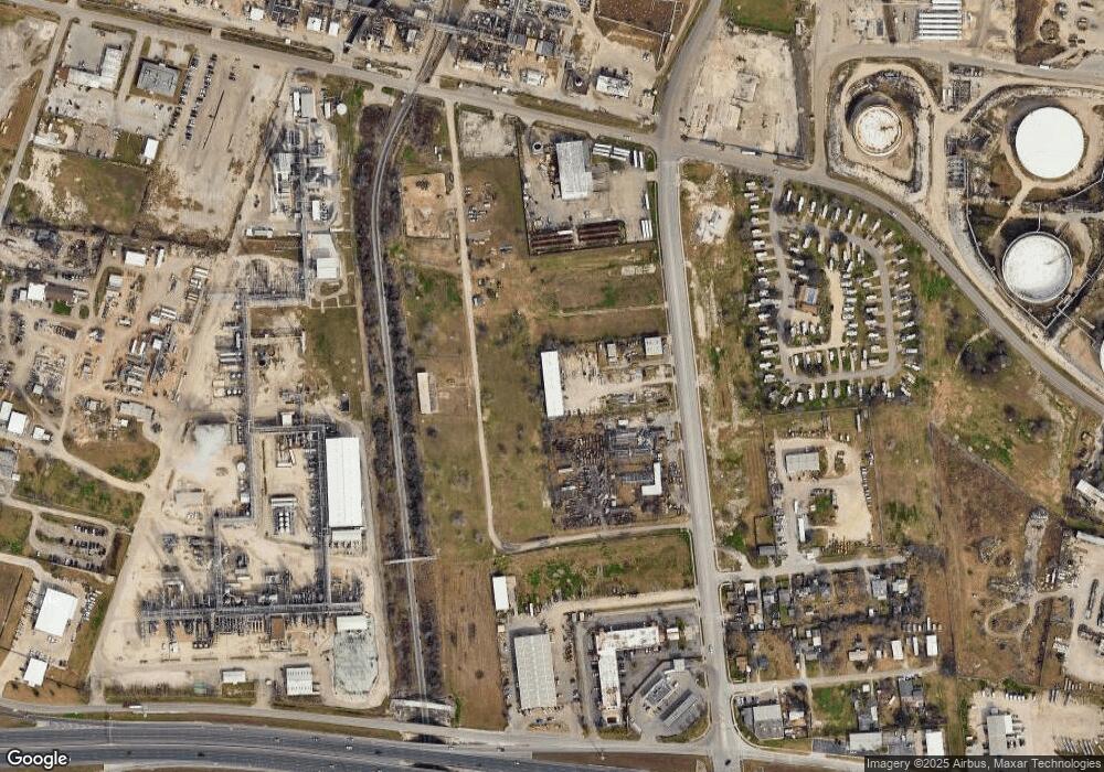
Map
Nearby Homes
- 1134 Dona Dr
- 0 Manchester Ave
- 1013 Dona Dr
- 806 Louis Lynch Dr
- 805 Omaha Dr
- 4300 Leopard St
- 4425 N Cornelia Cir
- 4413 N Cornelia Cir
- 617 Scott Dr
- 5825 San Saba Dr
- 501 Breckenridge Dr
- 341 W Saxet Dr
- 941 Acacia Dr
- 3740 Brooks Dr
- 930 Rambler Place
- 345 Bartlett Dr
- 6005 Horizon Dr
- 3214 Buddy Lawrence Dr
- 3641 S Saxet Dr
- 1001 Azalea Dr
- 1119 Navigation Blvd
- 1119 Navigation Blvd Unit C
- 1201 E Navigation Blvd
- 1115 Navigation Blvd
- 1101 Navigation Blvd
- 1100 Navigation Blvd
- 5130 Margaret Ave
- 5115 Up River Rd
- 5233 Up River Rd
- 5125 Margaret Ave
- 5123 Margaret Ave
- 5117 Margaret Ave
- 5115 Margaret Ave
- 5111 Margaret Ave
- 5124 Thomas Dr
- 5109 Margaret Ave
- 5116 Thomas Dr
- 5105 Margaret Ave
- 5108 Margaret Ave
- 5108 Thomas Dr