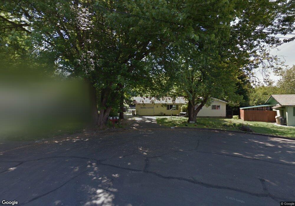
1119 SW Kathleen Cir Grants Pass, OR 97526
Estimated Value: $313,803 - $319,000
3
Beds
1
Bath
1,125
Sq Ft
$281/Sq Ft
Est. Value
About This Home
This home is located at 1119 SW Kathleen Cir, Grants Pass, OR 97526 and is currently estimated at $316,402, approximately $281 per square foot. 1119 SW Kathleen Cir is a home located in Josephine County with nearby schools including Parkside Elementary School, North Middle School, and Grants Pass High School.
Ownership History
Date
Name
Owned For
Owner Type
Purchase Details
Closed on
Aug 9, 2019
Sold by
Johnson Layne C
Bought by
Johnson Layne C and Johnson Pamela M
Current Estimated Value
Purchase Details
Closed on
May 25, 2012
Sold by
Johnson Layne C
Bought by
Johnson Layne
Home Financials for this Owner
Home Financials are based on the most recent Mortgage that was taken out on this home.
Original Mortgage
$99,950
Interest Rate
3.86%
Mortgage Type
New Conventional
Create a Home Valuation Report for This Property
The Home Valuation Report is an in-depth analysis detailing your home's value as well as a comparison with similar homes in the area
Home Values in the Area
Average Home Value in this Area
Purchase History
| Date | Buyer | Sale Price | Title Company |
|---|---|---|---|
| Johnson Layne C | -- | None Available | |
| Johnson Layne | -- | First American |
Source: Public Records
Mortgage History
| Date | Status | Borrower | Loan Amount |
|---|---|---|---|
| Closed | Johnson Layne | $99,950 |
Source: Public Records
Tax History Compared to Growth
Tax History
| Year | Tax Paid | Tax Assessment Tax Assessment Total Assessment is a certain percentage of the fair market value that is determined by local assessors to be the total taxable value of land and additions on the property. | Land | Improvement |
|---|---|---|---|---|
| 2025 | $1,975 | $152,070 | -- | -- |
| 2024 | $1,975 | $147,650 | -- | -- |
| 2023 | $1,860 | $143,350 | $0 | $0 |
| 2022 | $1,869 | $139,180 | -- | -- |
| 2021 | $1,755 | $135,130 | $0 | $0 |
| 2020 | $1,705 | $131,200 | $0 | $0 |
| 2019 | $1,655 | $127,380 | $0 | $0 |
| 2018 | $1,685 | $123,670 | $0 | $0 |
| 2017 | $1,672 | $120,070 | $0 | $0 |
| 2016 | $1,470 | $116,580 | $0 | $0 |
| 2015 | $1,396 | $113,190 | $0 | $0 |
| 2014 | $1,363 | $109,900 | $0 | $0 |
Source: Public Records
Map
Nearby Homes
- 1126 SW Cottonwood St
- 1710 SW Brownell Ave
- 1986 SW Betty Ln
- 1990 SW Betty Ln
- 1202 SW Viola Dr
- 738 Lincoln Rd
- 2082 Lower River Rd
- 1129 SW Ballinger Dr
- 955 SW Rogue River Ave
- 126 SW Vicki Ln
- 1110 SW Bridge St
- 1613 SW I St
- 3487 SW Leonard St
- 1013 SW L St
- 11311133 SW Central Ave
- 1219 River Ln
- 225 SW Westholm Ave
- 927 SW L St
- 2206 Egret Ct
- 901 Schaefers Ln
- 1117 SW Kathleen Cir
- 1127 SW Cottonwood St
- 1121 SW Cottonwood St
- 1143 SW Louise Cir
- 1120 SW Spruce St
- 1126 SW Spruce St
- 1135 SW Cottonwood St
- 1116 SW Spruce St
- 1115 SW Kathleen Cir
- 1130 SW Spruce St
- 1140 SW Louise Cir
- 1145 SW Louise Cir
- 1109 SW Cottonwood St
- 1110 SW Spruce St
- 1136 SW Spruce St
- 1120 SW Cottonwood St
- 1119 SW Spruce St
- 1132 SW Cottonwood St
- 1703 SW Rogue River Ave
- 1701 SW Rogue River Ave