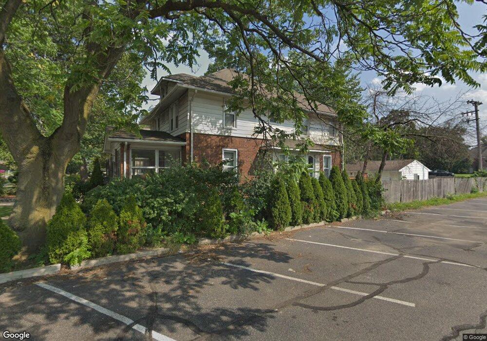
1119 W 11 Mile Rd Royal Oak, MI 48067
Estimated Value: $435,891 - $528,000
4
Beds
2
Baths
1,904
Sq Ft
$253/Sq Ft
Est. Value
About This Home
This home is located at 1119 W 11 Mile Rd, Royal Oak, MI 48067 and is currently estimated at $480,973, approximately $252 per square foot. 1119 W 11 Mile Rd is a home located in Oakland County with nearby schools including Northwood Elementary School, Royal Oak Middle School, and Royal Oak High School.
Ownership History
Date
Name
Owned For
Owner Type
Purchase Details
Closed on
Mar 21, 2005
Sold by
Blondy Mark and Blondy Kim
Bought by
Lovelace Matthew E and Lovelace Tara L
Current Estimated Value
Purchase Details
Closed on
Dec 15, 1999
Sold by
Kuhn Susan
Bought by
Blondy Mark
Home Financials for this Owner
Home Financials are based on the most recent Mortgage that was taken out on this home.
Original Mortgage
$18,300
Interest Rate
7.76%
Purchase Details
Closed on
Sep 27, 1999
Sold by
St Johns Episcopal Churc
Bought by
Kuhn Susan
Create a Home Valuation Report for This Property
The Home Valuation Report is an in-depth analysis detailing your home's value as well as a comparison with similar homes in the area
Home Values in the Area
Average Home Value in this Area
Purchase History
| Date | Buyer | Sale Price | Title Company |
|---|---|---|---|
| Lovelace Matthew E | $288,900 | Alpha Title Agency Inc | |
| Blondy Mark | $183,000 | -- | |
| Kuhn Susan | $125,000 | -- |
Source: Public Records
Mortgage History
| Date | Status | Borrower | Loan Amount |
|---|---|---|---|
| Previous Owner | Blondy Mark | $18,300 |
Source: Public Records
Tax History Compared to Growth
Tax History
| Year | Tax Paid | Tax Assessment Tax Assessment Total Assessment is a certain percentage of the fair market value that is determined by local assessors to be the total taxable value of land and additions on the property. | Land | Improvement |
|---|---|---|---|---|
| 2024 | $4,500 | $166,150 | $0 | $0 |
| 2022 | $5,590 | $150,720 | $0 | $0 |
| 2020 | $3,905 | $130,400 | $0 | $0 |
| 2018 | $5,590 | $121,530 | $0 | $0 |
| 2017 | $3,943 | $121,530 | $0 | $0 |
| 2015 | -- | $104,200 | $0 | $0 |
| 2014 | -- | $101,330 | $0 | $0 |
| 2011 | -- | $95,190 | $0 | $0 |
Source: Public Records
Map
Nearby Homes
- 1027 W Eleven Mile Rd
- 300 Baker St
- 1051 N Sherman Dr Unit 19
- 1320 Hartrick Ave
- 400 Josephine Ave
- 212 S Maple Ave
- 686 Princeton Rd
- 506 Hilldale Dr
- 479 Cambridge Rd
- 26725 Humber St
- 640 W 11 Mile Rd
- 642 W 11 Mile Rd
- 828 Princeton Rd
- 800 Cambridge Rd
- 334 S Laurel St
- 713 W Farnum Ave
- 800 Lockwood Rd
- 10024 Borgman Ave
- 821 Forestdale Rd
- 402 N West St
- 1113 W 11 Mile Rd
- 1109 W 11 Mile Rd
- 1103 W 11 Mile Rd
- 1103 W Eleven Mile Rd
- 1126 W Eleven Mile Rd
- 26998 Woodward Ave
- 00 Hilldale Dr
- 0 Hilldale Dr
- 0000 Hilldale Dr
- 1108 W 11 Mile Rd
- 141 Hendrie Blvd
- 1126 W 11 Mile Rd
- 1130 W 11 Mile Rd
- 1027 W 11 Mile Rd
- 153 Hendrie Blvd Unit Bldg-Unit
- 153 Hendrie Blvd
- 1023 W 11 Mile Rd
- 1023 W Eleven Mile Rd
- 161 Hendrie Blvd
- 1017 W 11 Mile Rd