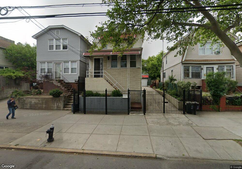
1119 White Plains Rd Bronx, NY 10472
Soundview NeighborhoodEstimated Value: $612,267 - $743,000
--
Bed
--
Bath
1,320
Sq Ft
$526/Sq Ft
Est. Value
About This Home
This home is located at 1119 White Plains Rd, Bronx, NY 10472 and is currently estimated at $694,317, approximately $525 per square foot. 1119 White Plains Rd is a home located in Bronx County with nearby schools including P.S. 152 - Evergreen, JHS 123 - The Bronx Urban Community Magnet School, and Holy Family School.
Ownership History
Date
Name
Owned For
Owner Type
Purchase Details
Closed on
Sep 11, 2023
Sold by
Sandra E. Naraine As Administratrix and The Estate Of Bharrat Naraine
Bought by
Naraine Sandra
Current Estimated Value
Purchase Details
Closed on
Mar 7, 2002
Sold by
Soto Harold
Bought by
Naraine Bharrat
Purchase Details
Closed on
Oct 30, 2001
Sold by
Broker Suzanne Sole Hei and Broker Suzanne Sole Hei
Bought by
Soto Harold D
Purchase Details
Closed on
Dec 23, 1999
Sold by
Broker Elizabeth
Bought by
Broker Elizabeth and Broker Suzanne
Create a Home Valuation Report for This Property
The Home Valuation Report is an in-depth analysis detailing your home's value as well as a comparison with similar homes in the area
Home Values in the Area
Average Home Value in this Area
Purchase History
| Date | Buyer | Sale Price | Title Company |
|---|---|---|---|
| Naraine Sandra | -- | -- | |
| Naraine Sandra | -- | -- | |
| Naraine Bharrat | -- | -- | |
| Naraine Bharrat | -- | -- | |
| Soto Harold D | -- | -- | |
| Soto Harold D | -- | -- | |
| Broker Elizabeth | -- | -- | |
| Broker Elizabeth | -- | -- |
Source: Public Records
Tax History Compared to Growth
Tax History
| Year | Tax Paid | Tax Assessment Tax Assessment Total Assessment is a certain percentage of the fair market value that is determined by local assessors to be the total taxable value of land and additions on the property. | Land | Improvement |
|---|---|---|---|---|
| 2025 | $4,905 | $27,370 | $6,068 | $21,302 |
| 2024 | $4,905 | $25,822 | $6,150 | $19,672 |
| 2023 | $4,663 | $24,360 | $6,178 | $18,182 |
| 2022 | $4,301 | $34,980 | $8,460 | $26,520 |
| 2021 | $4,534 | $30,000 | $8,460 | $21,540 |
| 2020 | $4,532 | $31,680 | $8,460 | $23,220 |
| 2019 | $4,208 | $27,840 | $8,460 | $19,380 |
| 2018 | $3,841 | $20,300 | $6,389 | $13,911 |
| 2017 | $3,604 | $19,152 | $6,324 | $12,828 |
| 2016 | $3,519 | $19,152 | $6,717 | $12,435 |
| 2015 | $1,959 | $19,007 | $7,823 | $11,184 |
| 2014 | $1,959 | $17,932 | $8,731 | $9,201 |
Source: Public Records
Map
Nearby Homes
- 1886 Gleason Ave
- 1870 Gleason Ave
- 1143 Leland Ave
- 1210 White Plains Rd
- 1169 Leland Ave
- 1171 Leland Ave
- 1955 Haviland Ave
- 1055 Virginia Ave
- 1237 Leland Ave Unit Multi
- 1966 Newbold Ave Unit 104
- 1966 Newbold Ave Unit 108
- 1966 Newbold Ave Unit 1510
- 1966 Newbold Ave Unit 405
- 1966 Newbold Ave Unit 308
- 1262 Leland Ave
- 1805 Gleason Ave
- 1934 Chatterton Ave
- 1241 Taylor Ave
- 2016 Haviland Ave
- 1151 Saint Lawrence Ave
- 1121 White Plains Rd
- 1117 White Plains Rd
- 1123 White Plains Rd
- 1111 White Plains Rd
- 1127 White Plains Rd
- 1116 Underhill Ave
- 1109 White Plains Rd
- 1118 Underhill Ave
- 1114 Underhill Ave
- 1120 Underhill Ave
- 1112 Underhill Ave
- 1122 Underhill Ave
- 1129 White Plains Rd
- 1110 Underhill Ave
- 1124 Underhill Ave
- 1105 White Plains Rd
- 1131 White Plains Rd
- 1126 Underhill Ave
- 1889 Watson Ave
- 1887 Watson Ave