11190 Colerain Rd Cincinnati, OH 45252
Estimated Value: $307,000 - $439,000
3
Beds
3
Baths
2,058
Sq Ft
$186/Sq Ft
Est. Value
About This Home
This home is located at 11190 Colerain Rd, Cincinnati, OH 45252 and is currently estimated at $383,225, approximately $186 per square foot. 11190 Colerain Rd is a home located in Hamilton County with nearby schools including Colerain Elementary School, Colerain Middle School, and Colerain High School.
Ownership History
Date
Name
Owned For
Owner Type
Purchase Details
Closed on
Jan 6, 2003
Sold by
Duenne William J
Bought by
Duenne Amy L
Current Estimated Value
Purchase Details
Closed on
Jan 31, 1996
Sold by
Brown Dawn M
Bought by
Duenne William J and Duenne Amy L
Home Financials for this Owner
Home Financials are based on the most recent Mortgage that was taken out on this home.
Original Mortgage
$188,000
Outstanding Balance
$6,292
Interest Rate
7.24%
Estimated Equity
$376,933
Create a Home Valuation Report for This Property
The Home Valuation Report is an in-depth analysis detailing your home's value as well as a comparison with similar homes in the area
Home Values in the Area
Average Home Value in this Area
Purchase History
| Date | Buyer | Sale Price | Title Company |
|---|---|---|---|
| Duenne Amy L | -- | -- | |
| Duenne William J | -- | -- |
Source: Public Records
Mortgage History
| Date | Status | Borrower | Loan Amount |
|---|---|---|---|
| Open | Duenne William J | $188,000 |
Source: Public Records
Tax History Compared to Growth
Tax History
| Year | Tax Paid | Tax Assessment Tax Assessment Total Assessment is a certain percentage of the fair market value that is determined by local assessors to be the total taxable value of land and additions on the property. | Land | Improvement |
|---|---|---|---|---|
| 2024 | $7,114 | $130,939 | $41,678 | $89,261 |
| 2023 | $7,114 | $130,939 | $41,678 | $89,261 |
| 2022 | $6,811 | $99,253 | $41,664 | $57,589 |
| 2021 | $6,801 | $99,253 | $41,664 | $57,589 |
| 2020 | $6,726 | $99,253 | $41,664 | $57,589 |
| 2019 | $6,815 | $93,636 | $39,305 | $54,331 |
| 2018 | $6,101 | $93,636 | $39,305 | $54,331 |
| 2017 | $5,814 | $93,636 | $39,305 | $54,331 |
| 2016 | $5,571 | $88,193 | $39,298 | $48,895 |
| 2015 | $5,503 | $88,193 | $39,298 | $48,895 |
| 2014 | $5,515 | $88,193 | $39,298 | $48,895 |
| 2013 | $5,251 | $88,193 | $39,298 | $48,895 |
Source: Public Records
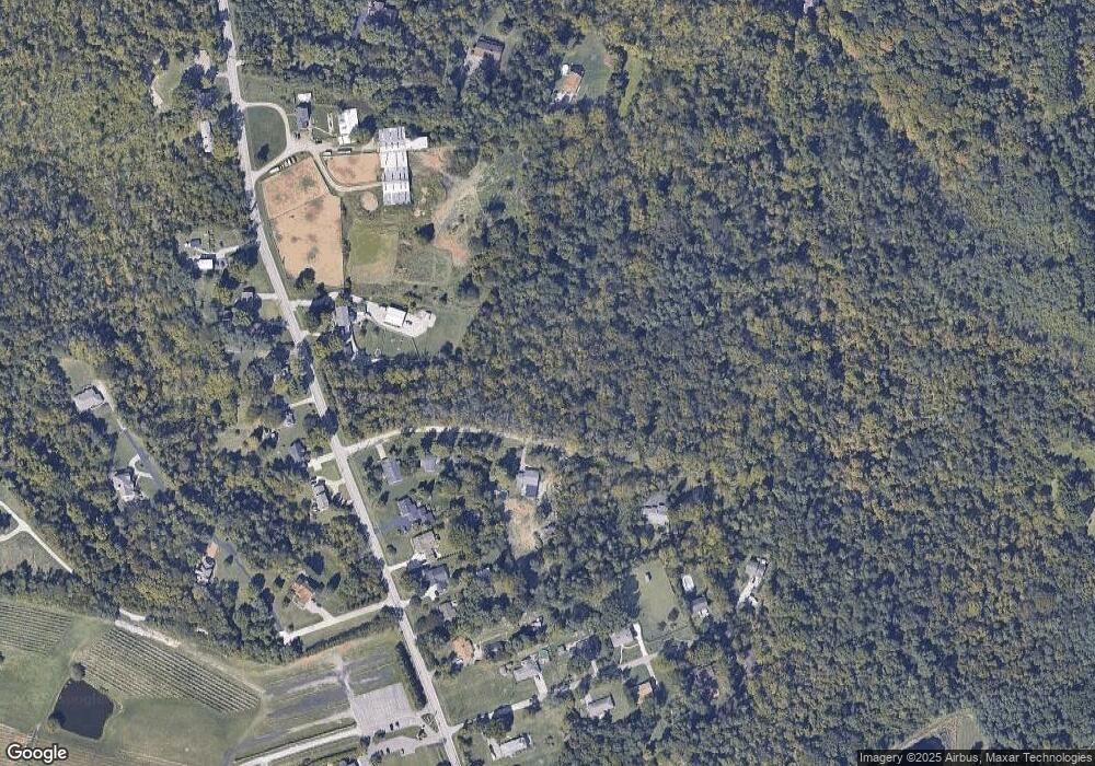
Map
Nearby Homes
- 5285 Yeatman Rd
- 10989 Colerain Ave
- 5567 Day Rd
- 0 Stone Mill Rd Unit 1846428
- 1 Stone Mill Rd
- 4255 Miamitrail Ln
- 5865 Day Rd
- 0 Miamitrail Ln Unit 1852362
- 26 Rylan Dr
- 6037 Dunlap Rd
- 5380 Stonetrace Dr
- 10263 Colerain Ave
- 10114 Spiritoak Ln
- 10054 Prechtel Rd
- 5630 Dry Ridge Rd
- 11050 E Miami River Rd
- 2927 Windon Dr
- 3916 Enterprise Cir
- 4198 Intrepid Dr
- 0 Thrush Ave Unit 1853359
- 11179 Colerain Ave
- 11199 Colerain Ave
- 11171 Colerain Ave
- 11171 Colerain Rd
- 11171 Old Colerain Ave
- 11207 Colerain Ave
- 11223 Colerain Ave
- 11161 Colerain Ave
- 11150 Colerain Ave
- 11120 Colerain Ave
- 11143 Colerain Ave
- 11260 Colerain Rd
- 11136 Colerain Ave
- 11259 Colerain Rd
- 11124 Colerain Ave
- 11113 Colerain Ave
- 11277 Old Colerain Ave
- 11174 Colerain Ave
- 11125 Colerain Rd
- 11112 Colerain Ave