Estimated Value: $734,172
--
Bed
--
Bath
25,000
Sq Ft
$29/Sq Ft
Est. Value
About This Home
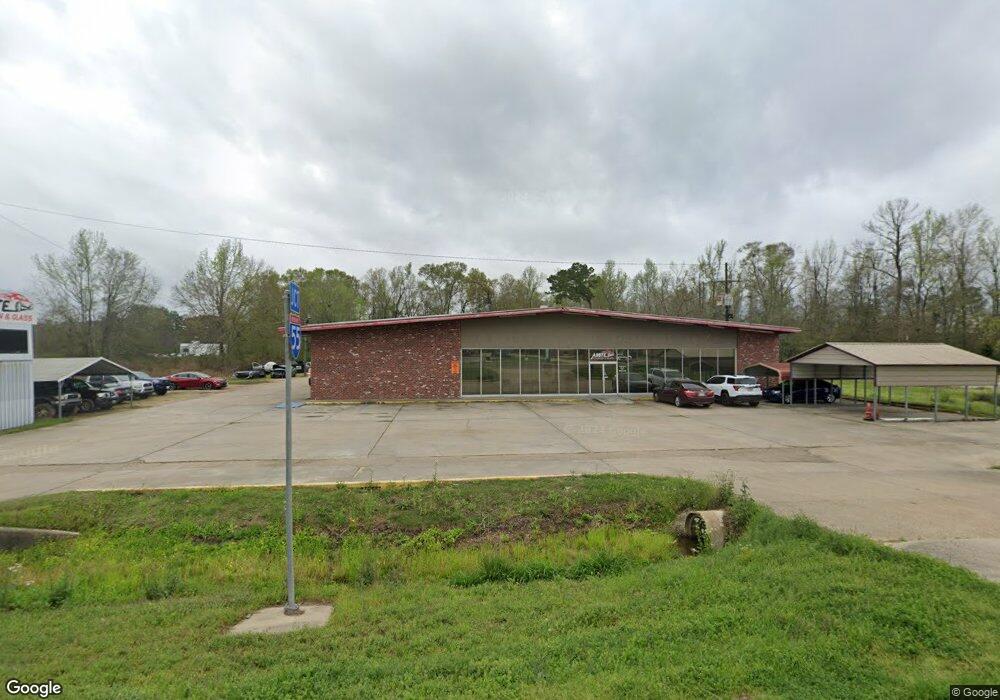
This home is located at 11198 Highway 16, Amite, LA 70422 and is currently estimated at $734,172, approximately $29 per square foot. 11198 Highway 16 is a home located in Tangipahoa Parish with nearby schools including Amite Elementary Magnet School, Amite Westside Middle Magnet, and Amite High Magnet.
Ownership History
Date
Name
Owned For
Owner Type
Purchase Details
Closed on
May 12, 2022
Sold by
Dewitt Sistrunk Ronald and Picket Alta
Bought by
Dc Properties Of Amite Llc
Current Estimated Value
Purchase Details
Closed on
Aug 28, 2012
Sold by
Brister Charles
Bought by
Sistrunk Ronald D and Sistrunk Alta F
Home Financials for this Owner
Home Financials are based on the most recent Mortgage that was taken out on this home.
Original Mortgage
$330,000
Interest Rate
3.56%
Mortgage Type
Unknown
Create a Home Valuation Report for This Property
The Home Valuation Report is an in-depth analysis detailing your home's value as well as a comparison with similar homes in the area
Home Values in the Area
Average Home Value in this Area
Purchase History
| Date | Buyer | Sale Price | Title Company |
|---|---|---|---|
| Dc Properties Of Amite Llc | $700,000 | Professional Title | |
| Sistrunk Ronald D | $450,000 | None Available |
Source: Public Records
Mortgage History
| Date | Status | Borrower | Loan Amount |
|---|---|---|---|
| Previous Owner | Sistrunk Ronald D | $330,000 |
Source: Public Records
Tax History Compared to Growth
Tax History
| Year | Tax Paid | Tax Assessment Tax Assessment Total Assessment is a certain percentage of the fair market value that is determined by local assessors to be the total taxable value of land and additions on the property. | Land | Improvement |
|---|---|---|---|---|
| 2024 | $5,959 | $61,990 | $12,490 | $49,500 |
| 2023 | $5,621 | $61,065 | $11,565 | $49,500 |
| 2022 | $5,625 | $61,065 | $11,565 | $49,500 |
| 2021 | $5,630 | $61,065 | $11,565 | $49,500 |
| 2020 | $5,620 | $61,065 | $11,565 | $49,500 |
| 2019 | $5,628 | $61,065 | $11,565 | $49,500 |
| 2018 | $5,628 | $61,065 | $11,565 | $49,500 |
| 2017 | $5,627 | $61,065 | $11,565 | $49,500 |
| 2016 | $5,627 | $61,065 | $11,565 | $49,500 |
| 2015 | $4,713 | $61,065 | $11,565 | $49,500 |
| 2014 | $4,712 | $61,065 | $11,565 | $49,500 |
Source: Public Records
Map
Nearby Homes
- 0 Louisiana 1045
- TBD Highway 1046 Hwy
- 0 W Oak St
- 59124 Puleston Rd
- 404 W Oak (Hwy 16) St
- 11128 Louisiana 16
- 206 W Oak St
- 105 W Factory St
- 209 W Factory St
- 212 Short St
- 716 S 1st St
- 0 Mixon Ln
- 0 Louisiana 16
- 0 Hwy 16 Unit LotWP001 24297163
- 210 W Factory St
- 704 N 1st St
- 106 E Chestnut St
- TBD G P Barlow Sr Rd
- 10082 Highway 1045
- 11198 Highway 16
- 11198 Louisiana 16
- 13.4 Acres 16 Hwy
- 11155 Highway 16
- 11155 Louisiana 16
- 11193 Hwy 16
- 59621 Puleston Rd
- 59631 Guzzardo Ln
- 1307 Live Oak Dr
- 11128 Highway 16
- 59591 Puleston Rd
- 11102 Highway 16
- 11094 Highway 16
- 11094 Highway 16
- 11098 Highway 16
- 59575 Puleston Rd
- 11096 Highway 16
- 11096 Highway 16
- 11096 Louisiana 16
- 11098 Louisiana 16