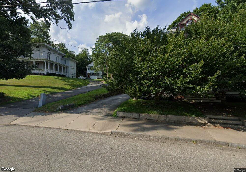
112 1/2 Broad St Norwich, CT 06360
Central Norwich NeighborhoodEstimated Value: $265,000 - $281,940
4
Beds
2
Baths
2,123
Sq Ft
$128/Sq Ft
Est. Value
About This Home
This home is located at 112 1/2 Broad St, Norwich, CT 06360 and is currently estimated at $270,735, approximately $127 per square foot. 112 1/2 Broad St is a home located in New London County with nearby schools including Moriarty Magnet Elementary School, Kelly STEAM Magnet Middle School, and Integrated Day Charter School.
Ownership History
Date
Name
Owned For
Owner Type
Purchase Details
Closed on
Jan 16, 2002
Sold by
Kos Richard W and Kos Ann T
Bought by
Okolicsany Karoly K and Okolicsany Aleta M
Current Estimated Value
Home Financials for this Owner
Home Financials are based on the most recent Mortgage that was taken out on this home.
Original Mortgage
$90,000
Interest Rate
6.84%
Create a Home Valuation Report for This Property
The Home Valuation Report is an in-depth analysis detailing your home's value as well as a comparison with similar homes in the area
Home Values in the Area
Average Home Value in this Area
Purchase History
| Date | Buyer | Sale Price | Title Company |
|---|---|---|---|
| Okolicsany Karoly K | $100,000 | -- | |
| Okolicsany Karoly K | $100,000 | -- |
Source: Public Records
Mortgage History
| Date | Status | Borrower | Loan Amount |
|---|---|---|---|
| Closed | Okolicsany Karoly K | $90,000 |
Source: Public Records
Tax History
| Year | Tax Paid | Tax Assessment Tax Assessment Total Assessment is a certain percentage of the fair market value that is determined by local assessors to be the total taxable value of land and additions on the property. | Land | Improvement |
|---|---|---|---|---|
| 2025 | $5,136 | $126,900 | $27,100 | $99,800 |
| 2024 | $4,848 | $126,900 | $27,100 | $99,800 |
| 2023 | $3,974 | $81,700 | $19,200 | $62,500 |
| 2022 | $3,961 | $81,700 | $19,200 | $62,500 |
| 2021 | $3,974 | $81,700 | $19,200 | $62,500 |
| 2020 | $3,960 | $81,700 | $19,200 | $62,500 |
| 2019 | $3,921 | $81,700 | $19,200 | $62,500 |
| 2018 | $3,813 | $78,800 | $22,500 | $56,300 |
| 2017 | $3,841 | $78,800 | $22,500 | $56,300 |
| 2016 | $3,866 | $78,800 | $22,500 | $56,300 |
Source: Public Records
Map
Nearby Homes
- 110 Broad St
- 110 1/2 Broad St
- 114 Broad St
- 139 Rockwell St Unit 141
- 135 Rockwell St Unit 137
- 38 Reynolds St
- 155 Rockwell St
- 106 Broad St Unit 2
- 106 Broad St Unit 2
- 106 Broad St Unit B
- 106 Broad St Unit A
- 106 Broad St
- 131 Rockwell St Unit 133
- 159 Rockwell St
- 116 Broad St
- 120 Broad St
- 18 Rose Garden Ln
- 111 Broad St
- 124 Broad St
- 165 Rockwell St
Your Personal Tour Guide
Ask me questions while you tour the home.