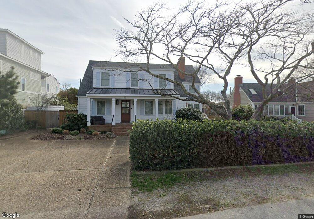
112 55th St Unit B Virginia Beach, VA 23451
North End NeighborhoodEstimated Value: $677,485 - $792,000
2
Beds
2
Baths
1,296
Sq Ft
$584/Sq Ft
Est. Value
About This Home
This home is located at 112 55th St Unit B, Virginia Beach, VA 23451 and is currently estimated at $757,371, approximately $584 per square foot. 112 55th St Unit B is a home located in Virginia Beach City with nearby schools including Linkhorn Park Elementary School, Virginia Beach Middle School, and Frank W. Cox High School.
Ownership History
Date
Name
Owned For
Owner Type
Purchase Details
Closed on
Dec 9, 2019
Sold by
Thompson Isaac R
Bought by
Kochev Frederick L and Kochev Elizabeth D
Current Estimated Value
Home Financials for this Owner
Home Financials are based on the most recent Mortgage that was taken out on this home.
Original Mortgage
$343,874
Outstanding Balance
$303,174
Interest Rate
3.6%
Mortgage Type
VA
Estimated Equity
$454,197
Create a Home Valuation Report for This Property
The Home Valuation Report is an in-depth analysis detailing your home's value as well as a comparison with similar homes in the area
Home Values in the Area
Average Home Value in this Area
Purchase History
| Date | Buyer | Sale Price | Title Company |
|---|---|---|---|
| Kochev Frederick L | $450,000 | Bay Area Title & Associates |
Source: Public Records
Mortgage History
| Date | Status | Borrower | Loan Amount |
|---|---|---|---|
| Open | Kochev Frederick L | $343,874 |
Source: Public Records
Tax History Compared to Growth
Tax History
| Year | Tax Paid | Tax Assessment Tax Assessment Total Assessment is a certain percentage of the fair market value that is determined by local assessors to be the total taxable value of land and additions on the property. | Land | Improvement |
|---|---|---|---|---|
| 2025 | $5,909 | $670,100 | $622,600 | $47,500 |
| 2024 | $5,909 | $609,200 | $567,300 | $41,900 |
| 2023 | $5,484 | $553,900 | $515,300 | $38,600 |
| 2022 | $4,560 | $460,600 | $418,500 | $42,100 |
| 2021 | $4,141 | $418,300 | $380,400 | $37,900 |
| 2020 | $4,218 | $414,500 | $380,400 | $34,100 |
| 2019 | $3,883 | $331,800 | $297,400 | $34,400 |
| 2018 | $3,326 | $331,800 | $297,400 | $34,400 |
| 2017 | $3,639 | $363,000 | $328,600 | $34,400 |
| 2016 | $3,642 | $367,900 | $328,600 | $39,300 |
| 2015 | $3,406 | $344,000 | $311,300 | $32,700 |
| 2014 | $3,136 | $337,200 | $311,300 | $25,900 |
Source: Public Records
Map
Nearby Homes
- 120 55th 1 2 St
- 210 56th St
- 216 56th St Unit A
- 113 53rd St Unit B
- 113 53rd St Unit A
- 302 55th St Unit B
- 209 60th St Unit B
- 400 Discovery Rd
- 206 50th St Unit C
- 436 Gosnold Ct
- 432 Gosnold Ct
- 300 Bay Colony Dr
- 219 64th St
- 228 66th St
- 125 67th St
- 506 Cavalier Dr
- 4129 Fitzgerald Way
- 6804 Ocean Front Ave Unit A
- 6904 Ocean Front Ave
- 4044 Harlow St
- 112 55th St Unit A
- 112 55th St Unit X1676
- 112 55th St Unit X1677
- 112 55th St
- 112 55th St
- 112 55th St
- 120 55th St
- 110 55th St Unit B
- 110 55th St Unit A
- 110 55th St
- 5407 Atlantic Ave
- 5407 Atlantic Ave Unit 2
- 119 54th St Unit A
- 119 54th St Unit B
- 119 54th St
- 113 55th St
- 113 55th St Unit B
- 113 55th St Unit A
- 108 55th St
- 119 55th St