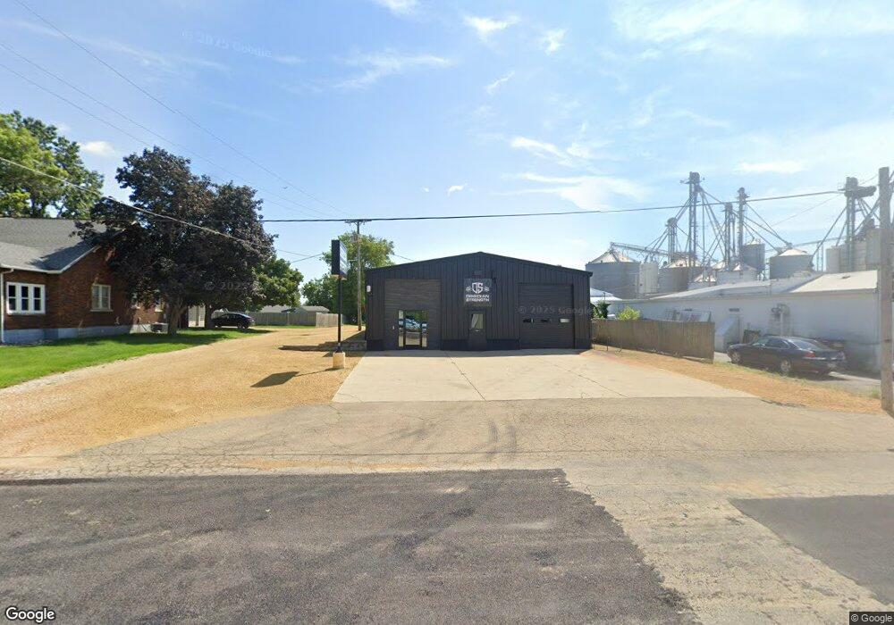
112 5th Ave de Witt, IA 52742
Estimated Value: $306,748
Studio
--
Bath
3,200
Sq Ft
$96/Sq Ft
Est. Value
About This Home
This home is located at 112 5th Ave, de Witt, IA 52742 and is currently estimated at $306,748, approximately $95 per square foot. 112 5th Ave is a home located in Clinton County with nearby schools including Ekstrand Elementary School, Central Dewitt Intermediate School, and Central Dewitt Middle School.
Ownership History
Date
Name
Owned For
Owner Type
Purchase Details
Closed on
Feb 27, 2024
Sold by
Chucks Body Shop Llc
Bought by
Ausnorth Llc
Current Estimated Value
Purchase Details
Closed on
Jun 20, 2017
Sold by
Wolever William and Wolever Susan M
Bought by
Chucks Body Shop Llc
Home Financials for this Owner
Home Financials are based on the most recent Mortgage that was taken out on this home.
Original Mortgage
$159,000
Interest Rate
3.95%
Mortgage Type
Future Advance Clause Open End Mortgage
Create a Home Valuation Report for This Property
The Home Valuation Report is an in-depth analysis detailing your home's value as well as a comparison with similar homes in the area
Home Values in the Area
Average Home Value in this Area
Purchase History
| Date | Buyer | Sale Price | Title Company |
|---|---|---|---|
| Ausnorth Llc | $247,500 | None Listed On Document | |
| Chucks Body Shop Llc | -- | None Available |
Source: Public Records
Mortgage History
| Date | Status | Borrower | Loan Amount |
|---|---|---|---|
| Previous Owner | Chucks Body Shop Llc | $159,000 |
Source: Public Records
Tax History
| Year | Tax Paid | Tax Assessment Tax Assessment Total Assessment is a certain percentage of the fair market value that is determined by local assessors to be the total taxable value of land and additions on the property. | Land | Improvement |
|---|---|---|---|---|
| 2025 | $2,504 | $150,140 | $30,950 | $119,190 |
| 2024 | $2,504 | $136,110 | $22,110 | $114,000 |
| 2023 | $2,300 | $136,110 | $22,110 | $114,000 |
| 2022 | $2,532 | $124,700 | $22,110 | $102,590 |
| 2021 | $2,660 | $124,700 | $22,110 | $102,590 |
| 2019 | $1,842 | $86,437 | $0 | $0 |
| 2018 | $1,798 | $86,437 | $0 | $0 |
| 2017 | $1,798 | $86,437 | $0 | $0 |
| 2016 | $1,800 | $86,437 | $0 | $0 |
| 2015 | $1,800 | $79,300 | $0 | $0 |
| 2014 | $1,674 | $79,300 | $0 | $0 |
| 2013 | $1,954 | $0 | $0 | $0 |
Source: Public Records
Map
Nearby Homes
- 510 2nd St
- 213 8th Ave
- 715 5th St
- 00 3rd St
- 621 4th Ave Unit 3
- 421 Lee Ct
- 615 S 6th Ave
- 1104 3rd St
- 285th St Old Hwy 61
- 401 10th St
- 1318 4th St
- 921 10th St
- 119 14th Ave
- 815 11th St
- 0 285th Ave Old Hwy 61 Unit 2601452
- 0 285th Ave Old Hwy 61 Unit 2601448
- 1221 6th Ave
- 00 Maynard Way
- 1104 15th St
- 2849 262nd St
Your Personal Tour Guide
Ask me questions while you tour the home.