112 Aldovin Rd Tunkhannock, PA 18657
Estimated Value: $207,274 - $320,000
--
Bed
--
Bath
--
Sq Ft
153.15
Acres
About This Home
This home is located at 112 Aldovin Rd, Tunkhannock, PA 18657 and is currently estimated at $263,637. 112 Aldovin Rd is a home located in Wyoming County with nearby schools including Tunkhannock Middle School and Tunkhannock High School.
Ownership History
Date
Name
Owned For
Owner Type
Purchase Details
Closed on
Sep 17, 2019
Sold by
Puza Kammy M and Puza Steven D
Bought by
Garrison Benjamin C
Current Estimated Value
Purchase Details
Closed on
Jun 1, 2016
Sold by
Pelican Energy Llc
Bought by
Garrison North Unit
Purchase Details
Closed on
Apr 28, 2016
Sold by
Endless Mountain Water Company Limited
Bought by
Garrison North Unit
Create a Home Valuation Report for This Property
The Home Valuation Report is an in-depth analysis detailing your home's value as well as a comparison with similar homes in the area
Home Values in the Area
Average Home Value in this Area
Purchase History
| Date | Buyer | Sale Price | Title Company |
|---|---|---|---|
| Garrison Benjamin C | $135,000 | -- | |
| Garrison North Unit | -- | None Available | |
| Garrison North Unit | -- | None Available |
Source: Public Records
Tax History Compared to Growth
Tax History
| Year | Tax Paid | Tax Assessment Tax Assessment Total Assessment is a certain percentage of the fair market value that is determined by local assessors to be the total taxable value of land and additions on the property. | Land | Improvement |
|---|---|---|---|---|
| 2025 | $6,209 | $74,045 | $41,870 | $32,175 |
| 2024 | $8,519 | $74,045 | $41,870 | $32,175 |
| 2023 | $5,997 | $74,045 | $41,870 | $32,175 |
| 2022 | $8,260 | $74,045 | $41,870 | $32,175 |
| 2021 | $5,785 | $74,045 | $41,870 | $32,175 |
| 2020 | $5,785 | $74,045 | $41,870 | $32,175 |
| 2019 | $7,926 | $74,045 | $41,870 | $32,175 |
| 2018 | $8,679 | $104,005 | $41,870 | $62,135 |
| 2017 | $7,614 | $73,890 | $20,875 | $53,015 |
| 2016 | -- | $73,890 | $20,875 | $53,015 |
| 2015 | -- | $73,890 | $20,875 | $53,015 |
| 2014 | -- | $73,890 | $20,875 | $53,015 |
Source: Public Records
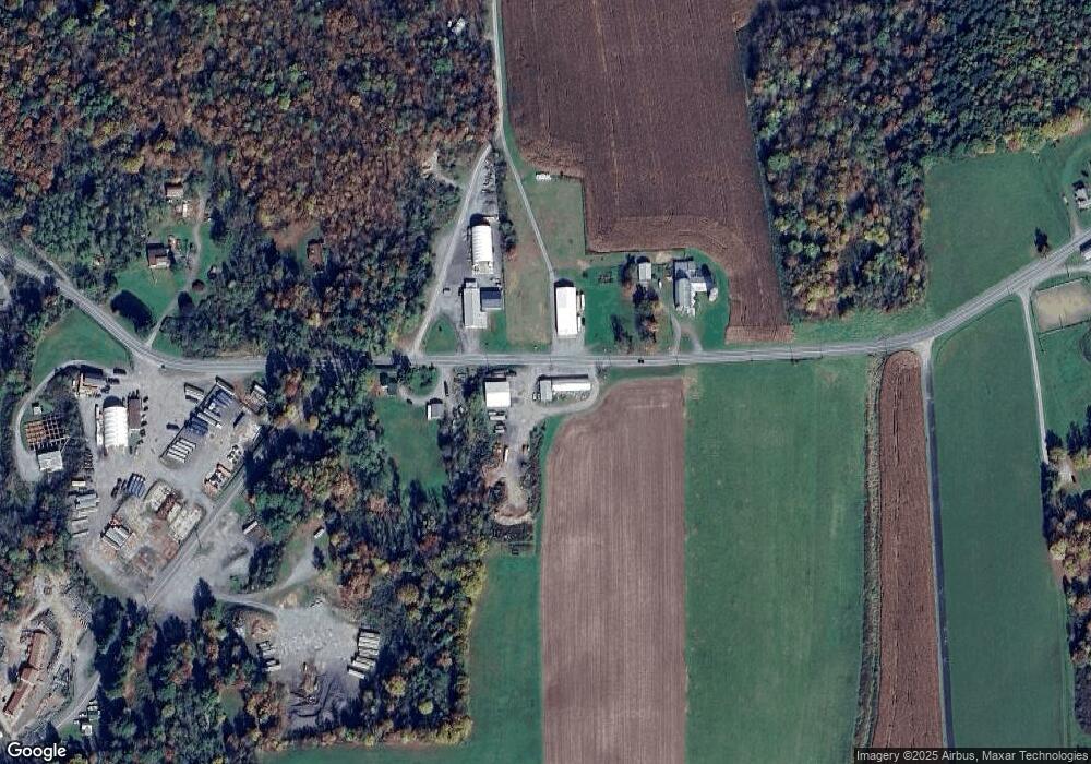
Map
Nearby Homes
- 1 Pennsylvania 29
- 0 Sr 29n Unit GSBSC256186
- 32 Shore Dr
- 828 W Avery Station Rd
- 22 Mount Airy Estate
- 7 Hollow Crest Rd
- 0 Dark Hollow Rd Unit GSBSC255658
- 5 Fieldcrest Dr
- 29 Ferncrest Dr
- 6193 Pennsylvania 87
- 1 Ford Dr
- 7 Doran Dr
- 9 Doran Dr
- 5115 State Route 3013
- 1 Sullivan St
- 40 Winola Ave
- 13 Reed St
- 43 1/2 Mccord St
- 5 E Harrison St
- 28 Pine St
- 101 Aldovin Rd
- 34 Aldovin Rd
- 45 James Ace Rd
- 26 State Route 1006
- 208 Aldovin Rd
- 26 Aldovin Rd
- 205 Aldovin Rd
- 55 Mason Rd
- 55 Mason Rd
- 27 James Ace Rd
- 100 Aldovin Rd
- 70 Mason Rd
- 148 Triangle Ln
- 18 James Ace Rd
- 115 Triangle Ln
- 6 Spencer Cir
- 15 James Ace Rd
- 1268 Sr 29 N
- 48 Mason Rd
- 1022 Meshoppen Creek Rd