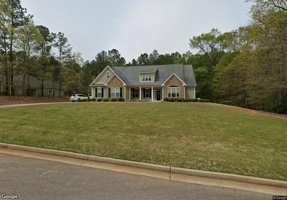
112 Amandas Way Unit 4 McDonough, GA 30252
Estimated Value: $487,715 - $539,000
4
Beds
4
Baths
3,669
Sq Ft
$140/Sq Ft
Est. Value
About This Home
This home is located at 112 Amandas Way Unit 4, McDonough, GA 30252 and is currently estimated at $511,929, approximately $139 per square foot. 112 Amandas Way Unit 4 is a home located in Henry County with nearby schools including New Hope Elementary School and Ola Middle School.
Ownership History
Date
Name
Owned For
Owner Type
Purchase Details
Closed on
Jul 18, 2014
Sold by
Kowall Amanda L
Bought by
Camp Russell J and Camp Rebecca S
Current Estimated Value
Home Financials for this Owner
Home Financials are based on the most recent Mortgage that was taken out on this home.
Original Mortgage
$175,000
Outstanding Balance
$133,696
Interest Rate
4.24%
Mortgage Type
New Conventional
Estimated Equity
$378,233
Purchase Details
Closed on
Jul 26, 2005
Sold by
Plantation Woods Dev Llc
Bought by
Kowall Amanda L and Kowall Joshua
Home Financials for this Owner
Home Financials are based on the most recent Mortgage that was taken out on this home.
Original Mortgage
$332,500
Interest Rate
5.51%
Mortgage Type
New Conventional
Create a Home Valuation Report for This Property
The Home Valuation Report is an in-depth analysis detailing your home's value as well as a comparison with similar homes in the area
Home Values in the Area
Average Home Value in this Area
Purchase History
| Date | Buyer | Sale Price | Title Company |
|---|---|---|---|
| Camp Russell J | $275,000 | -- | |
| Kowall Amanda L | -- | -- |
Source: Public Records
Mortgage History
| Date | Status | Borrower | Loan Amount |
|---|---|---|---|
| Open | Camp Russell J | $175,000 | |
| Previous Owner | Kowall Amanda L | $332,500 |
Source: Public Records
Tax History Compared to Growth
Tax History
| Year | Tax Paid | Tax Assessment Tax Assessment Total Assessment is a certain percentage of the fair market value that is determined by local assessors to be the total taxable value of land and additions on the property. | Land | Improvement |
|---|---|---|---|---|
| 2025 | $5,971 | $203,800 | $24,000 | $179,800 |
| 2024 | $5,971 | $198,920 | $24,000 | $174,920 |
| 2023 | $5,203 | $187,400 | $18,000 | $169,400 |
| 2022 | $5,007 | $157,760 | $18,000 | $139,760 |
| 2021 | $4,413 | $132,600 | $18,000 | $114,600 |
| 2020 | $4,200 | $123,600 | $15,000 | $108,600 |
| 2019 | $4,099 | $119,320 | $15,000 | $104,320 |
| 2018 | $3,978 | $114,200 | $12,000 | $102,200 |
| 2016 | $3,760 | $104,960 | $10,000 | $94,960 |
| 2015 | $3,806 | $102,720 | $8,000 | $94,720 |
| 2014 | $3,718 | $97,320 | $8,000 | $89,320 |
Source: Public Records
Map
Nearby Homes
- 225 Laney Ct
- 175 Laney Ct Unit 1
- 845 Graeme Dr
- 812 Graeme Dr
- 125 Karen Dr
- 125 Laney Ct
- 290 New Hope Rd
- 215 Laney Rd
- 151 River Park Cir
- 2563 Highway 81 E
- 200 Pine Tree Ln
- 328 Cattlemans Cir
- 767 Old Jackson Rd
- S S Laney Rd
- 376 Cattlemans Cir
- 995 Old Jackson Rd
- 95 Pine Tree Dr
- 135 Pine Tree Ln
- 136 Hilda Way
- 281 Laney Dr
- 112 Amandas Way
- 116 Amandas Way
- 0 Amandas Way Unit 7134408
- 0 Amandas Way Unit 7228127
- 0 Amandas Way Unit 7225111
- 0 Amandas Way Unit 7280419
- 0 Amandas Way Unit 7455102
- 113 Amandas Way
- 120 Amandas Way
- 117 Amandas Way
- 124 Amandas Way Unit 7
- 124 Amandas Way
- 104 Amandas Way
- 123 Amandas Way
- 100 Amandas Way Unit 1
- 100 Amandas Way
- 260 Laney Ct Unit 2
- 240 Laney Rd
- 250 Laney Ct Unit 1
- 101 Amandas Way