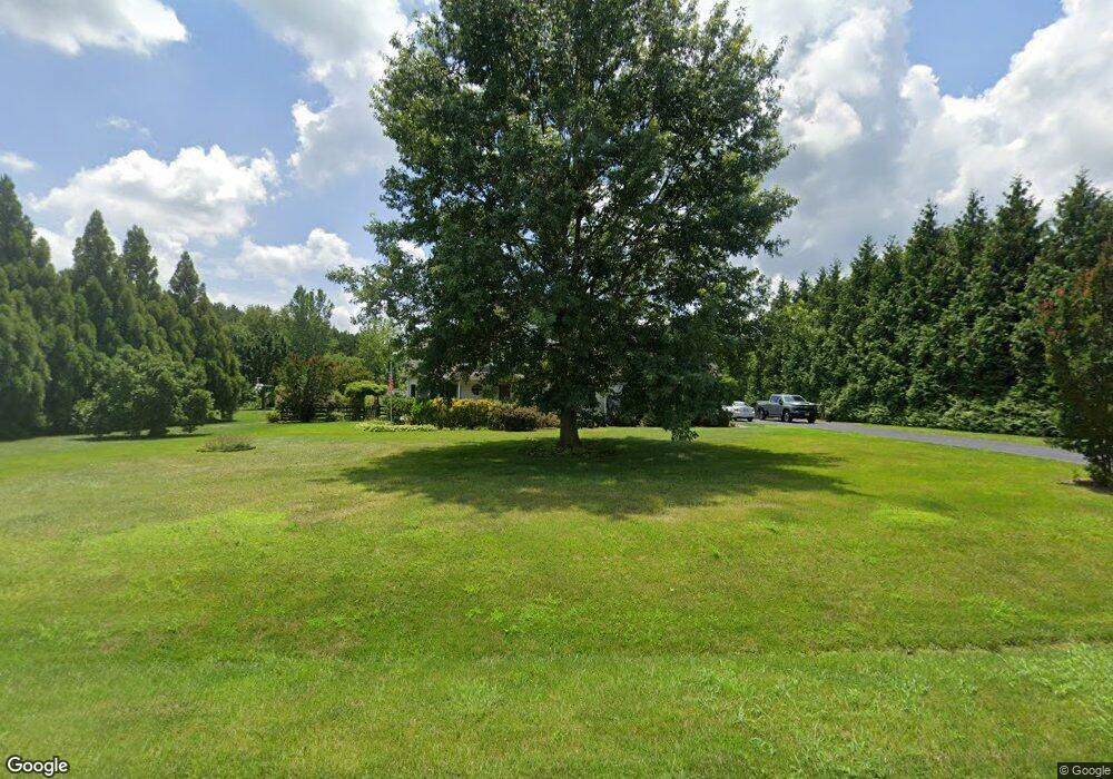
112 Andrew Ct Centreville, MD 21617
Estimated Value: $620,000 - $712,000
Studio
3
Baths
2,984
Sq Ft
$226/Sq Ft
Est. Value
About This Home
This home is located at 112 Andrew Ct, Centreville, MD 21617 and is currently estimated at $675,665, approximately $226 per square foot. 112 Andrew Ct is a home located in Queen Anne's County with nearby schools including Centreville Elementary School, Kennard Elementary School, and Centreville Middle School.
Ownership History
Date
Name
Owned For
Owner Type
Purchase Details
Closed on
Jun 24, 2005
Sold by
Palmen Tracy E
Bought by
Michael Widdekind and T/E Joan M Widdekind
Current Estimated Value
Purchase Details
Closed on
Mar 9, 2004
Sold by
Sicienski Linda L
Bought by
Palmen Tracy E
Purchase Details
Closed on
May 29, 2002
Sold by
Weese Development Corporation
Bought by
Sicienski Linda L
Purchase Details
Closed on
May 16, 2001
Sold by
Claiborne Farms Inc
Bought by
Weese Development Corporation
Create a Home Valuation Report for This Property
The Home Valuation Report is an in-depth analysis detailing your home's value as well as a comparison with similar homes in the area
Home Values in the Area
Average Home Value in this Area
Purchase History
| Date | Buyer | Sale Price | Title Company |
|---|---|---|---|
| Michael Widdekind | $430,000 | -- | |
| Palmen Tracy E | $408,000 | -- | |
| Sicienski Linda L | $284,798 | -- | |
| Weese Development Corporation | $50,000 | -- |
Source: Public Records
Mortgage History
| Date | Status | Borrower | Loan Amount |
|---|---|---|---|
| Closed | Weese Development Corporation | -- |
Source: Public Records
Tax History
| Year | Tax Paid | Tax Assessment Tax Assessment Total Assessment is a certain percentage of the fair market value that is determined by local assessors to be the total taxable value of land and additions on the property. | Land | Improvement |
|---|---|---|---|---|
| 2025 | $4,384 | $467,333 | $0 | $0 |
| 2024 | $4,168 | $436,100 | $140,000 | $296,100 |
| 2023 | $4,044 | $422,933 | $0 | $0 |
| 2022 | $3,920 | $409,767 | $0 | $0 |
| 2021 | $3,808 | $396,600 | $140,000 | $256,600 |
| 2020 | $3,808 | $390,833 | $0 | $0 |
| 2019 | $3,753 | $385,067 | $0 | $0 |
| 2018 | $3,698 | $379,300 | $142,400 | $236,900 |
| 2017 | $3,564 | $365,367 | $0 | $0 |
| 2016 | -- | $351,433 | $0 | $0 |
| 2015 | $3,451 | $337,500 | $0 | $0 |
| 2014 | $3,451 | $337,500 | $0 | $0 |
Source: Public Records
Map
Nearby Homes
- 212 Claiborne Fields Dr
- 119 Pleasant Springs Dr
- 266 White Marsh Rd
- 262 White Marsh Rd
- 122 Lently Farm Ln
- 209 N Brook Dr
- 614 Brookfield Dr
- 168 Meadow Brook Way
- 138 Cool Meadow Dr
- 427 Brookfield Dr
- 422 N Brook Dr
- 126 Meadowcroft Dr
- 108 Meadowcroft Dr
- 107 Meadowcroft Dr
- 120 Brook Knoll Way
- 213 Edenderry Ave
- 217 Elm St
- 325 Twin Meadows Farm Ln
- 708 Church Hill Rd
- 104 Pasture Ct
Your Personal Tour Guide
Ask me questions while you tour the home.