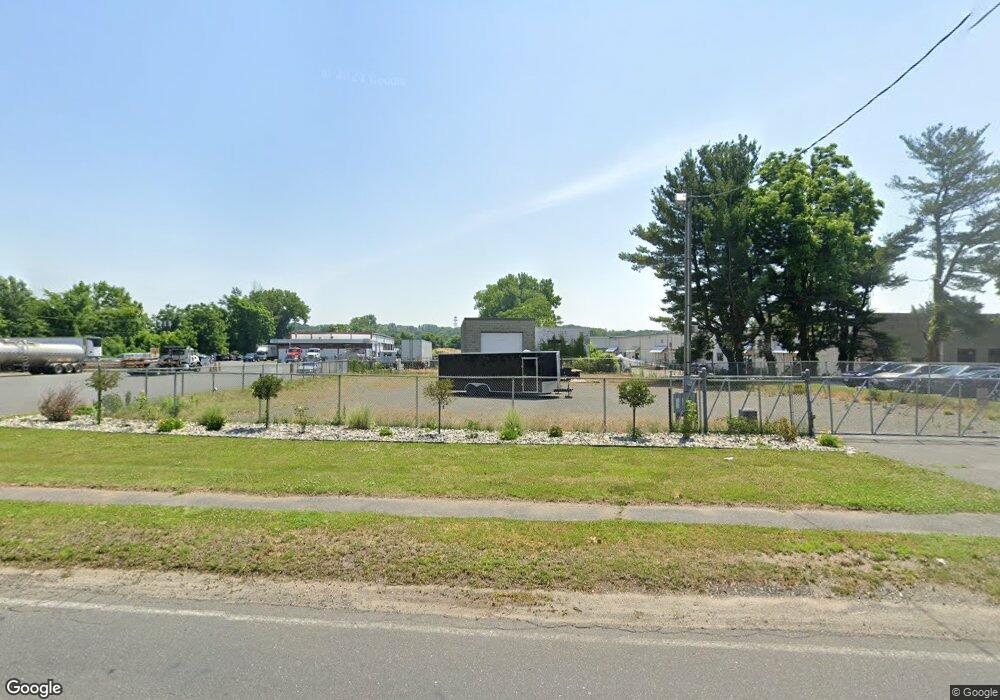
112 Ashley Ave West Springfield, MA 01089
Estimated Value: $355,989
--
Bed
1
Bath
880
Sq Ft
$405/Sq Ft
Est. Value
About This Home
This home is located at 112 Ashley Ave, West Springfield, MA 01089 and is currently estimated at $355,989, approximately $404 per square foot. 112 Ashley Ave is a home located in Hampden County with nearby schools including West Springfield High School and Pope Francis High School.
Ownership History
Date
Name
Owned For
Owner Type
Purchase Details
Closed on
Sep 30, 2022
Sold by
Chrzan Jan and Grochowska-Chrzan Joanna
Bought by
Calabrese Llc
Current Estimated Value
Home Financials for this Owner
Home Financials are based on the most recent Mortgage that was taken out on this home.
Original Mortgage
$239,200
Outstanding Balance
$228,632
Interest Rate
5.13%
Mortgage Type
Commercial
Estimated Equity
$127,357
Purchase Details
Closed on
Aug 17, 1993
Sold by
Higgins Mary and Connolly Emily
Bought by
Chrzan Jan and Chrzan Joanna
Create a Home Valuation Report for This Property
The Home Valuation Report is an in-depth analysis detailing your home's value as well as a comparison with similar homes in the area
Home Values in the Area
Average Home Value in this Area
Purchase History
| Date | Buyer | Sale Price | Title Company |
|---|---|---|---|
| Calabrese Llc | $299,000 | None Available | |
| Calabrese Llc | $299,000 | None Available | |
| Chrzan Jan | $82,000 | -- | |
| Chrzan Jan | $82,000 | -- |
Source: Public Records
Mortgage History
| Date | Status | Borrower | Loan Amount |
|---|---|---|---|
| Open | Calabrese Llc | $239,200 | |
| Closed | Calabrese Llc | $239,200 |
Source: Public Records
Tax History Compared to Growth
Tax History
| Year | Tax Paid | Tax Assessment Tax Assessment Total Assessment is a certain percentage of the fair market value that is determined by local assessors to be the total taxable value of land and additions on the property. | Land | Improvement |
|---|---|---|---|---|
| 2025 | $6,168 | $203,700 | $113,700 | $90,000 |
| 2024 | $5,903 | $198,100 | $113,700 | $84,400 |
| 2023 | $5,645 | $184,600 | $113,700 | $70,900 |
| 2022 | $5,259 | $170,100 | $103,100 | $67,000 |
| 2021 | $4,791 | $147,500 | $97,300 | $50,200 |
| 2020 | $4,816 | $147,500 | $97,300 | $50,200 |
| 2019 | $4,801 | $147,500 | $97,300 | $50,200 |
| 2018 | $4,853 | $147,500 | $97,300 | $50,200 |
| 2017 | $4,888 | $147,500 | $97,300 | $50,200 |
| 2016 | $4,832 | $145,500 | $93,500 | $52,000 |
| 2015 | $4,736 | $142,700 | $91,600 | $51,100 |
| 2014 | $4,565 | $142,700 | $91,600 | $51,100 |
Source: Public Records
Map
Nearby Homes
- 80 Brush Hill Ave Unit 35
- 80 Brush Hill Ave Unit 28
- 27 Abbey St
- 0 School St
- 168 Hampden St
- 126 Casino Ave
- Lot 3 Hyde Rd
- 248 Hampden St
- 32 Windpath E
- 29 Fairfield Ave
- 57- 59 Stearns Terrace
- 36 Shady Brook
- Lot 1 Marion St
- 40 Wilfred St
- 329 Hampden St
- 2 Marion St
- 119 Grape St
- 26 Clayton Dr
- 35 Lower Grape St
- 95 Weaver Rd
- 131 Ashley Ave
- 154 Ashley Ave
- 0 Beeman Rd Unit 70901064
- 166 Ashley Ave
- 107-109 Ashley Ave
- 107 Ashley Ave
- 186 Ashley Ave
- 1319 Riverdale St
- 1321 Riverdale St
- 207 Ashley Ave
- 207 Ashley Ave
- 1329 Riverdale St
- 217 Ashley Ave
- 224 Ashley Ave
- 18 Ferry Ave
- 232 Ashley Ave
- 24 Ferry Ave
- 237 Ashley Ave
- 245 Ashley Ave
- 246 Ashley Ave Unit 248
