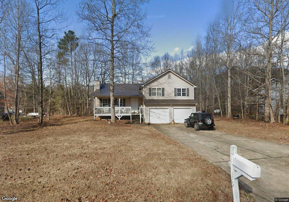
112 Benjamin Dr Rockmart, GA 30153
Estimated Value: $248,000 - $290,000
4
Beds
2
Baths
1,329
Sq Ft
$198/Sq Ft
Est. Value
About This Home
This home is located at 112 Benjamin Dr, Rockmart, GA 30153 and is currently estimated at $263,223, approximately $198 per square foot. 112 Benjamin Dr is a home located in Paulding County with nearby schools including Sara M. Ragsdale Elementary School, Carl Scoggins Sr. Middle School, and Paulding County High School.
Ownership History
Date
Name
Owned For
Owner Type
Purchase Details
Closed on
May 28, 2003
Sold by
Abraham Michael P
Bought by
Norris Walter M and Norris Vicki
Current Estimated Value
Home Financials for this Owner
Home Financials are based on the most recent Mortgage that was taken out on this home.
Original Mortgage
$109,900
Outstanding Balance
$48,176
Interest Rate
5.79%
Mortgage Type
New Conventional
Estimated Equity
$215,047
Purchase Details
Closed on
Mar 8, 2001
Sold by
Summerland Homes Inc
Bought by
Abraham Michael P
Home Financials for this Owner
Home Financials are based on the most recent Mortgage that was taken out on this home.
Original Mortgage
$89,550
Interest Rate
7.02%
Mortgage Type
New Conventional
Create a Home Valuation Report for This Property
The Home Valuation Report is an in-depth analysis detailing your home's value as well as a comparison with similar homes in the area
Home Values in the Area
Average Home Value in this Area
Purchase History
| Date | Buyer | Sale Price | Title Company |
|---|---|---|---|
| Norris Walter M | $112,000 | -- | |
| Abraham Michael P | $99,500 | -- |
Source: Public Records
Mortgage History
| Date | Status | Borrower | Loan Amount |
|---|---|---|---|
| Open | Norris Walter M | $109,900 | |
| Closed | Norris Walter M | $109,900 | |
| Previous Owner | Abraham Michael P | $89,550 |
Source: Public Records
Tax History Compared to Growth
Tax History
| Year | Tax Paid | Tax Assessment Tax Assessment Total Assessment is a certain percentage of the fair market value that is determined by local assessors to be the total taxable value of land and additions on the property. | Land | Improvement |
|---|---|---|---|---|
| 2024 | $2,407 | $100,004 | $12,000 | $88,004 |
| 2023 | $2,664 | $104,716 | $12,000 | $92,716 |
| 2022 | $2,100 | $82,428 | $12,000 | $70,428 |
| 2021 | $1,897 | $67,132 | $6,000 | $61,132 |
| 2020 | $1,772 | $61,500 | $6,000 | $55,500 |
| 2019 | $1,646 | $56,472 | $6,000 | $50,472 |
| 2018 | $1,478 | $50,920 | $6,000 | $44,920 |
| 2017 | $1,293 | $44,200 | $6,000 | $38,200 |
| 2016 | $498 | $39,480 | $6,000 | $33,480 |
| 2015 | $909 | $31,400 | $6,000 | $25,400 |
| 2014 | $712 | $24,400 | $6,000 | $18,400 |
| 2013 | -- | $17,480 | $8,000 | $9,480 |
Source: Public Records
Map
Nearby Homes
- 233 Winterville Dr
- 0 Ayers Rd
- 409 Benjamin Dr
- 75 Rabbit Creek Path
- 706 Holly Springs Rd
- 375 Old Brock Rd
- 413 Old Brock Rd
- 101 Tide Water Way
- 50 Old Oak Trace
- 89 Farm Brook Ln
- 52 Tide Water Way
- 129 Woodwind Dr
- 259 Fairview Ln
- 373 Farm Brook Ln
- 516 Barnwood Dr
- 194 Spring Leaf Dr
- 1979 Gold Mine Rd
- 186 Puckett Rd
- 94 Benjamin Dr
- 24 Sidney Ct
- 48 Sidney Ct
- 66 Benjamin Dr
- 107 Benjamin Dr
- 0 Sidney Ct Unit 7215858
- 0 Sidney Ct Unit 7098423
- 0 Sidney Ct Unit 7029207
- 0 Sidney Ct Unit 8891016
- 131 Benjamin Dr
- 65 Benjamin Dr
- 89 Benjamin Dr
- 46 Benjamin Dr
- 13 Sidney Ct
- 13 Sidney Ct
- 39 Sidney Ct
- 169 Benjamin Dr
- 47 Benjamin Dr
- 169 Benjamin Dr
- 67 Sidney Ct