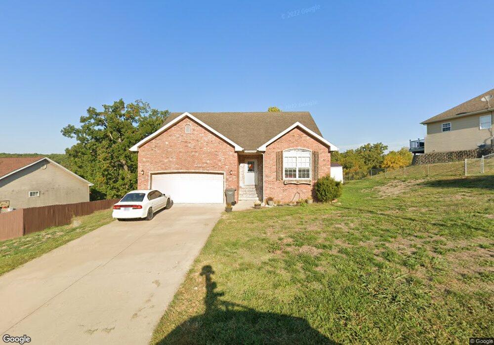
112 Birch Tree Saint Robert, MO 65584
Estimated Value: $229,000 - $249,248
3
Beds
2
Baths
1,414
Sq Ft
$168/Sq Ft
Est. Value
About This Home
This home is located at 112 Birch Tree, Saint Robert, MO 65584 and is currently estimated at $237,062, approximately $167 per square foot. 112 Birch Tree is a home located in Pulaski County with nearby schools including Freedom Elementary School, Waynesville East Elementary School, and Waynesville Sixth Grade Center.
Ownership History
Date
Name
Owned For
Owner Type
Purchase Details
Closed on
Sep 26, 2024
Sold by
Eubanks Sean T
Bought by
Mazeau Christopher J
Current Estimated Value
Home Financials for this Owner
Home Financials are based on the most recent Mortgage that was taken out on this home.
Original Mortgage
$234,945
Outstanding Balance
$225,390
Interest Rate
0.61%
Mortgage Type
Construction
Estimated Equity
$11,672
Purchase Details
Closed on
Feb 25, 2022
Bought by
Eubanks Sean T
Purchase Details
Closed on
Jul 23, 2008
Sold by
Redford Steve S and Redford Vineta G
Bought by
Serrano Russelle
Home Financials for this Owner
Home Financials are based on the most recent Mortgage that was taken out on this home.
Original Mortgage
$145,053
Interest Rate
6.42%
Mortgage Type
VA
Create a Home Valuation Report for This Property
The Home Valuation Report is an in-depth analysis detailing your home's value as well as a comparison with similar homes in the area
Home Values in the Area
Average Home Value in this Area
Purchase History
| Date | Buyer | Sale Price | Title Company |
|---|---|---|---|
| Mazeau Christopher J | $230,246 | Title Order Nbr Only | |
| Eubanks Sean T | -- | -- | |
| Serrano Russelle | -- | None Available |
Source: Public Records
Mortgage History
| Date | Status | Borrower | Loan Amount |
|---|---|---|---|
| Open | Mazeau Christopher J | $234,945 | |
| Previous Owner | Serrano Russelle | $145,053 |
Source: Public Records
Tax History
| Year | Tax Paid | Tax Assessment Tax Assessment Total Assessment is a certain percentage of the fair market value that is determined by local assessors to be the total taxable value of land and additions on the property. | Land | Improvement |
|---|---|---|---|---|
| 2025 | $1,046 | $29,516 | $4,104 | $25,412 |
| 2024 | $10 | $26,522 | $3,420 | $23,102 |
| 2023 | $1,018 | $26,522 | $3,420 | $23,102 |
| 2022 | $1,010 | $26,522 | $3,420 | $23,102 |
| 2021 | $999 | $26,522 | $3,420 | $23,102 |
| 2020 | $982 | $23,205 | $0 | $0 |
| 2019 | $982 | $25,422 | $0 | $0 |
| 2018 | $982 | $25,422 | $0 | $0 |
| 2017 | $981 | $23,205 | $0 | $0 |
| 2016 | $930 | $25,420 | $0 | $0 |
| 2015 | $927 | $25,420 | $0 | $0 |
| 2014 | $924 | $25,420 | $0 | $0 |
Source: Public Records
Map
Nearby Homes
- 126 Hickory Valley Rd
- 105 Hillcrest Ct
- 142 Hickory Ridge Dr
- 103 Hickory Valley Rd
- 14139 Hopi Rd
- 14135 Hopi Ln
- 21195 Highway 28
- 000 Holloway Ln
- 0 Holloway Ln
- 13458 Toffee
- 14505 Harvey Dr
- 21987 Teak Ln
- 13705 Hawksbill Dr
- 13446 Highway Z
- 000 Hank Ln
- 20675 Harris Ln
- 23105 Triple Ln
- 14040 Howard Ln
- 22720 Halberd Dr
- 22930 Hardy Ln
- 112 Birchtree Cir
- 110 Birch Tree
- 110 Birchtree
- 114 Birch Tree
- 108 Birch Tree
- 106 Birch Tree
- 116 Birch Tree
- 111 Birch Tree
- 113 Birch Tree
- 115 Birch Tree
- 115 Birchtree Cir
- 104 Birch Tree
- 100 Lakeview Ct
- 118 Birch Tree
- 0xxx Lakeview Ct
- 111 Birchtree Cir
- 120 Birchtree Cir
- 102 Birch Tree
- 155 Hickory Valley Rd
- 117 Birchtree Cir
Your Personal Tour Guide
Ask me questions while you tour the home.