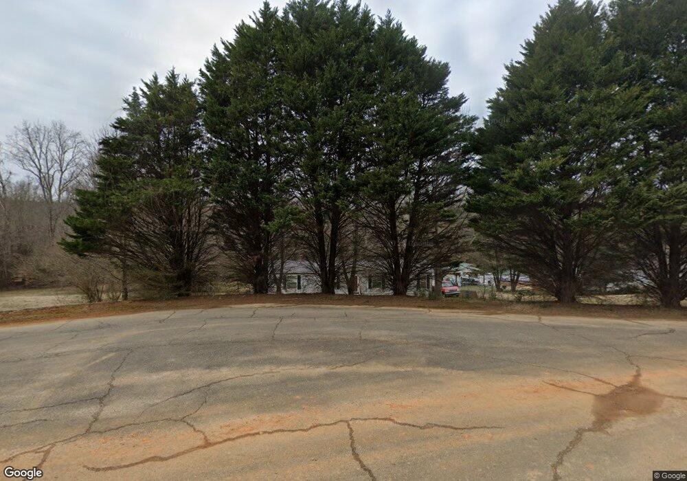
112 Burnside Ct Clover, SC 29710
Estimated Value: $100,000 - $250,000
Studio
--
Bath
1,848
Sq Ft
$96/Sq Ft
Est. Value
About This Home
This home is located at 112 Burnside Ct, Clover, SC 29710 and is currently estimated at $177,488, approximately $96 per square foot. 112 Burnside Ct is a home located in York County with nearby schools including Bethany Elementary School, Clover Middle School, and Clover High School.
Ownership History
Date
Name
Owned For
Owner Type
Purchase Details
Closed on
Dec 5, 2007
Sold by
American General Financial Services Inc
Bought by
Servis Athena M
Current Estimated Value
Purchase Details
Closed on
Apr 27, 2007
Sold by
Bermudez Orlando and Bermudez Ismenia
Bought by
American General Financial Services Inc
Purchase Details
Closed on
Apr 9, 2002
Sold by
Browning Properties Inc
Bought by
Bermudez Orlando and Bernudez Ismenia
Create a Home Valuation Report for This Property
The Home Valuation Report is an in-depth analysis detailing your home's value as well as a comparison with similar homes in the area
Home Values in the Area
Average Home Value in this Area
Purchase History
| Date | Buyer | Sale Price | Title Company |
|---|---|---|---|
| Servis Athena M | $47,000 | None Available | |
| American General Financial Services Inc | $500 | None Available | |
| Bermudez Orlando | $26,900 | -- |
Source: Public Records
Tax History
| Year | Tax Paid | Tax Assessment Tax Assessment Total Assessment is a certain percentage of the fair market value that is determined by local assessors to be the total taxable value of land and additions on the property. | Land | Improvement |
|---|---|---|---|---|
| 2025 | $322 | $2,560 | $1,520 | $1,040 |
| 2024 | $332 | $2,560 | $1,520 | $1,040 |
| 2023 | $341 | $2,560 | $1,520 | $1,040 |
| 2022 | $275 | $2,560 | $1,520 | $1,040 |
| 2021 | -- | $2,560 | $1,520 | $1,040 |
| 2020 | $271 | $2,560 | $0 | $0 |
| 2019 | $265 | $2,280 | $0 | $0 |
| 2018 | $267 | $2,280 | $0 | $0 |
| 2017 | $248 | $2,280 | $0 | $0 |
| 2016 | $243 | $2,280 | $0 | $0 |
| 2014 | $271 | $2,280 | $1,120 | $1,160 |
| 2013 | $271 | $2,420 | $1,120 | $1,300 |
Source: Public Records
Map
Nearby Homes
- 218 Muldoon Ln
- 290 S Grandview Rd
- 522 Whitworth Rd
- 865 Highway 161 N
- 5264 Battleground Rd
- 00 State Road S-46-883
- 946 Laurelwood Dr
- 164 Linderman Lake Ln
- 953 Bollinger Pond Dr
- 1085 Love Valley Rd
- 1270 Lilly Dr
- 1264 Lilly Dr
- Lot 1 Rhyne Rd
- 335 S Fork Meadows Rd
- 150 Heatherwood Ct
- 101 Twisted Oaks Ln
- 1168 Love Valley Rd
- 5147 Kings Pinnacle Dr
- 5143 Kings Pinnacle Dr
- 994 Rhyne Rd
- 106 Burnside Ct
- 100 Burnside Ct
- 109 Burnside Ct
- 115 Burnside Ct
- 235 Muldoon Dr
- 219 Muldoon Dr
- 219 Muldoon Ln
- 244 Muldoon Dr
- 232 Muldoon Dr
- 335 S Grandview Rd
- 238 Muldoon Dr
- 325 N Grandview Rd
- 226 Muldoon Dr
- 250 Muldoon Dr
- 325 Grandview Rd
- 345 S Grandview Rd
- 218 Muldoon Dr
- 305 S Grandview Rd
- 377 S Grandview Rd
- 377 S Grandview Rd
Your Personal Tour Guide
Ask me questions while you tour the home.