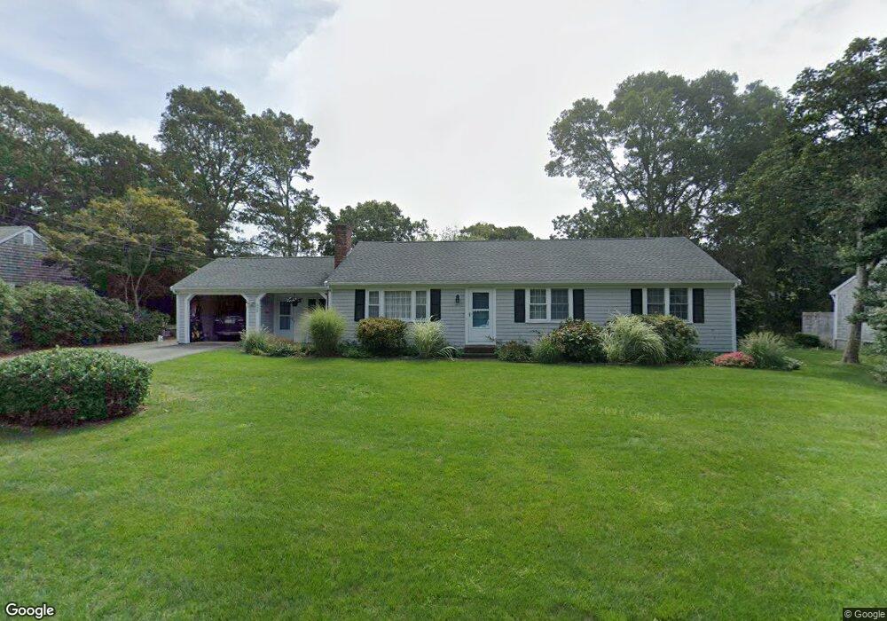
112 Captain Noyes Rd South Yarmouth, MA 02664
South Yarmouth NeighborhoodEstimated Value: $614,000 - $636,000
3
Beds
3
Baths
1,422
Sq Ft
$438/Sq Ft
Est. Value
About This Home
This home is located at 112 Captain Noyes Rd, South Yarmouth, MA 02664 and is currently estimated at $622,381, approximately $437 per square foot. 112 Captain Noyes Rd is a home located in Barnstable County with nearby schools including Dennis-Yarmouth Regional High School and St. Pius X. School.
Ownership History
Date
Name
Owned For
Owner Type
Purchase Details
Closed on
Dec 3, 2021
Sold by
Garvey Jane L
Bought by
Garvey Jane L and Garvey Edward F
Current Estimated Value
Purchase Details
Closed on
Mar 20, 2014
Sold by
Mcnamara Neil J
Bought by
Garvey Jane L
Purchase Details
Closed on
Nov 3, 2011
Sold by
Mcnamara Peter
Bought by
Peter Mcnamara T and Mcnamara Neil J
Create a Home Valuation Report for This Property
The Home Valuation Report is an in-depth analysis detailing your home's value as well as a comparison with similar homes in the area
Home Values in the Area
Average Home Value in this Area
Purchase History
| Date | Buyer | Sale Price | Title Company |
|---|---|---|---|
| Garvey Jane L | -- | None Available | |
| Garvey Jane L | $125,000 | -- | |
| Mcnamara Neil J | -- | -- | |
| Peter Mcnamara T | -- | -- |
Source: Public Records
Tax History Compared to Growth
Tax History
| Year | Tax Paid | Tax Assessment Tax Assessment Total Assessment is a certain percentage of the fair market value that is determined by local assessors to be the total taxable value of land and additions on the property. | Land | Improvement |
|---|---|---|---|---|
| 2025 | $3,851 | $543,900 | $178,900 | $365,000 |
| 2024 | $3,591 | $486,600 | $151,300 | $335,300 |
| 2023 | $3,471 | $428,000 | $131,000 | $297,000 |
| 2022 | $3,573 | $389,200 | $119,000 | $270,200 |
| 2021 | $3,325 | $347,800 | $119,000 | $228,800 |
| 2020 | $3,231 | $323,100 | $119,000 | $204,100 |
| 2019 | $2,844 | $281,600 | $119,000 | $162,600 |
| 2018 | $2,717 | $264,000 | $101,400 | $162,600 |
| 2017 | $2,601 | $259,600 | $97,000 | $162,600 |
| 2016 | $2,503 | $250,800 | $88,200 | $162,600 |
| 2015 | $2,379 | $237,000 | $88,200 | $148,800 |
Source: Public Records
Map
Nearby Homes
- 48 Captain Dore Rd
- 35 Captain Percival Rd
- 18 Captain Stanley Rd
- 49 Captain Besse Rd
- 147 Captain Bacon Rd
- 24 Fast Brook Rd
- 3 Saturn Ln
- 11 Bob-O-link Ln
- 72 Quartermaster Row
- 21 Hazelmoor Rd
- 68 Bob-O-link Ln
- 299 Winslow Gray Rd
- 299-301 Winslow Gray Rd
- 33 Lake Rd
- 33 Sparrow Way
- 22 Powhatan Rd
- 23 Circuit Rd N
- 15 Sharon Rd
- 7 Sunset Pines Rd
- 17 South St
- 298 Captain Noyes Rd
- 108 Captain Noyes Rd
- 118 Captain Noyes Rd
- 72 Swift Brook Rd
- 76 Swift Brook Rd
- 66 Swift Brook Rd
- 59 Captain Blount Rd
- 58 Capt Blount Rd
- 58 Captain Blount Rd
- 102 Captain Noyes Rd
- 122 Captain Noyes Rd
- 82 Swift Brook Rd
- 62 Swift Brook Rd
- 73 Swift Brook Rd
- 58 Captain Dore Rd
- 101 Captain Noyes Rd
- 67 Swift Brook Rd
- 53 Captain Blount Rd
- 128 Captain Noyes Rd
- 96 Captain Noyes Rd