112 Castle Rd Harmony, ME 04942
Estimated Value: $317,000
3
Beds
1
Bath
1,574
Sq Ft
$201/Sq Ft
Est. Value
About This Home
This home is located at 112 Castle Rd, Harmony, ME 04942 and is currently estimated at $317,000, approximately $201 per square foot. 112 Castle Rd is a home located in Somerset County with nearby schools including Harmony Elementary School.
Ownership History
Date
Name
Owned For
Owner Type
Purchase Details
Closed on
Nov 18, 2019
Sold by
David K Garland Ft and Garland
Bought by
Harrell Gloria M
Current Estimated Value
Purchase Details
Closed on
Jan 17, 2014
Sold by
Garland David K
Bought by
David K Garland Ft and Garland
Purchase Details
Closed on
Jul 9, 2009
Sold by
Bachelder Walter R
Bought by
Garland David K
Purchase Details
Closed on
Apr 6, 2009
Sold by
Merchant John B
Bought by
Bachelder Walter R
Create a Home Valuation Report for This Property
The Home Valuation Report is an in-depth analysis detailing your home's value as well as a comparison with similar homes in the area
Purchase History
| Date | Buyer | Sale Price | Title Company |
|---|---|---|---|
| Harrell Gloria M | -- | -- | |
| Harrell Gloria M | -- | -- | |
| David K Garland Ft | -- | -- | |
| David K Garland Ft | -- | -- | |
| Garland David K | -- | -- | |
| Garland David K | -- | -- | |
| Bachelder Walter R | -- | -- | |
| Bachelder Walter R | -- | -- |
Source: Public Records
Tax History
| Year | Tax Paid | Tax Assessment Tax Assessment Total Assessment is a certain percentage of the fair market value that is determined by local assessors to be the total taxable value of land and additions on the property. | Land | Improvement |
|---|---|---|---|---|
| 2025 | $3,077 | $225,060 | $74,940 | $150,120 |
| 2024 | $2,414 | $224,580 | $74,940 | $149,640 |
| 2023 | $2,246 | $121,400 | $52,290 | $69,110 |
| 2022 | $2,185 | $121,400 | $52,290 | $69,110 |
| 2021 | $2,299 | $121,400 | $52,290 | $69,110 |
| 2020 | $2,240 | $121,400 | $52,290 | $69,110 |
| 2018 | $2,070 | $121,400 | $52,290 | $69,110 |
| 2017 | $1,991 | $121,400 | $52,290 | $69,110 |
| 2016 | $2,125 | $121,400 | $52,290 | $69,110 |
| 2013 | $2,206 | $103,550 | $35,060 | $68,490 |
Source: Public Records
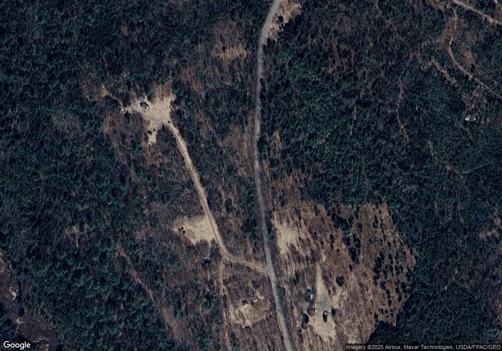
Map
Nearby Homes
- 10 Castle Rd
- 11 Castle Rd
- 108 South Rd
- 32 Lake Como Dr
- 39 Main St
- 92 Athens Rd
- 162 Wellington Rd
- Map3 L14 N Rd
- 113 Bunker Ln
- 001-352 Stream Rd
- PO M23-L6 Great Moose Dr
- TBD Great Moose Pond Dr
- 11 Finson Rd
- 318 Bigelow Rd
- PL5,6,9,10 Great Moose Dr
- 259 Page Hill Rd
- lot 163 Page Hill Rd
- 13 Main St
- 1083&1101 North Rd
- 200 Ham Hill Rd
- 96 Castle Rd
- 76 Castle Rd
- Lot 3 "Pon Castle Rd
- 113 Castle Rd
- 143 Castle Rd
- 64 Castle Rd
- 61 Castle Rd
- 47 Castle Rd
- 47 Castle Rd
- Lot 38&41 Castle Rd
- 121 Bailey Bridge Rd
- 153 Bailey Bridge Rd
- 210 Mainstream Rd
- 105 Mainstream Rd
- 155 Mainstream Rd
- 161 Mainstream Rd
- 8 Castle Rd
- 7 Castle Rd
- 91 Mainstream Rd
- 212 Mainstream Rd
Your Personal Tour Guide
Ask me questions while you tour the home.