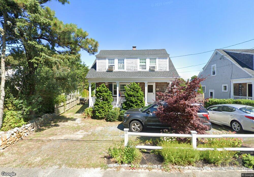
112 Center St Dennis Port, MA 02639
Dennis Port NeighborhoodEstimated Value: $514,000 - $660,000
3
Beds
1
Bath
1,001
Sq Ft
$596/Sq Ft
Est. Value
About This Home
This home is located at 112 Center St, Dennis Port, MA 02639 and is currently estimated at $596,394, approximately $595 per square foot. 112 Center St is a home located in Barnstable County with nearby schools including Dennis-Yarmouth Regional High School and St. Pius X. School.
Ownership History
Date
Name
Owned For
Owner Type
Purchase Details
Closed on
Nov 14, 2024
Sold by
Kirkpatrick Edward J and Kirkpatrick Kathleen I
Bought by
Kirkpatrick John and Kirkpatrick Barbara I
Current Estimated Value
Purchase Details
Closed on
Dec 20, 2002
Sold by
Fratelli Catherine J
Bought by
Kirkpatrick John and Kirkpatrick Edward J
Create a Home Valuation Report for This Property
The Home Valuation Report is an in-depth analysis detailing your home's value as well as a comparison with similar homes in the area
Home Values in the Area
Average Home Value in this Area
Purchase History
| Date | Buyer | Sale Price | Title Company |
|---|---|---|---|
| Kirkpatrick John | -- | None Available | |
| Kirkpatrick John | -- | None Available | |
| Kirkpatrick John | $225,000 | -- | |
| Kirkpatrick John | $225,000 | -- |
Source: Public Records
Mortgage History
| Date | Status | Borrower | Loan Amount |
|---|---|---|---|
| Previous Owner | Kirkpatrick John | $154,000 | |
| Previous Owner | Kirkpatrick John | $160,000 | |
| Previous Owner | Kirkpatrick John | $160,000 | |
| Previous Owner | Kirkpatrick John | $180,000 |
Source: Public Records
Tax History Compared to Growth
Tax History
| Year | Tax Paid | Tax Assessment Tax Assessment Total Assessment is a certain percentage of the fair market value that is determined by local assessors to be the total taxable value of land and additions on the property. | Land | Improvement |
|---|---|---|---|---|
| 2025 | $2,423 | $559,500 | $200,700 | $358,800 |
| 2024 | $2,324 | $529,300 | $193,000 | $336,300 |
| 2023 | $2,257 | $483,300 | $175,400 | $307,900 |
| 2022 | $2,168 | $387,200 | $158,000 | $229,200 |
| 2021 | $3,066 | $336,500 | $154,900 | $181,600 |
| 2020 | $1,916 | $314,100 | $143,000 | $171,100 |
| 2019 | $15,915 | $296,600 | $140,200 | $156,400 |
| 2018 | $2,718 | $295,900 | $144,600 | $151,300 |
| 2017 | $2,540 | $284,800 | $133,500 | $151,300 |
| 2016 | $1,751 | $268,200 | $139,000 | $129,200 |
| 2015 | $1,716 | $268,200 | $139,000 | $129,200 |
| 2014 | $1,572 | $247,500 | $122,400 | $125,100 |
Source: Public Records
Map
Nearby Homes
- 12 Cross St
- 10 Candlewood Ln Unit 2-1
- 12 Candlewood Ln Unit 2-9
- 159 Center St Unit 22
- 221 Upper County Rd Unit 2A
- 221 Upper County Rd Unit 2A
- 9 Country Ln
- 166 Upper County Rd Unit 1-4
- 26 Manning Rd
- 47 Telegraph Rd Unit 1
- 72 Bassett Ln
- 268 Main St
- 73 Division St
- 22 Wixon Rd
- 102 Sea St
- 141 Division St
- 22 Ferncliff Rd
- 141 Division St
- 78 Upper County Rd Unit A&B
- 78 Upper County Rd
- 78 Center St Unit 2-3
- 211 Center St
- 78 Center St Unit 2-22
- 78 Center St Unit 2-21
- 78 Center St Unit 2-20
- 78 Center St Unit 2-19
- 78 Center St Unit 2-18
- 78 Center St Unit 2-17
- 78 Center St Unit 2-16
- 78 Center St Unit 2-15
- 78 Center St Unit 2-14
- 78 Center St Unit 2-13
- 78 Center St Unit 2-12
- 78 Center St Unit 2-11
- 78 Center St Unit 2-10
- 78 Center St Unit 2-9
- 78 Center St Unit 2-8
- 78 Center St Unit 2-7
- 78 Center St Unit 2-6
- 78 Center St Unit 2-5