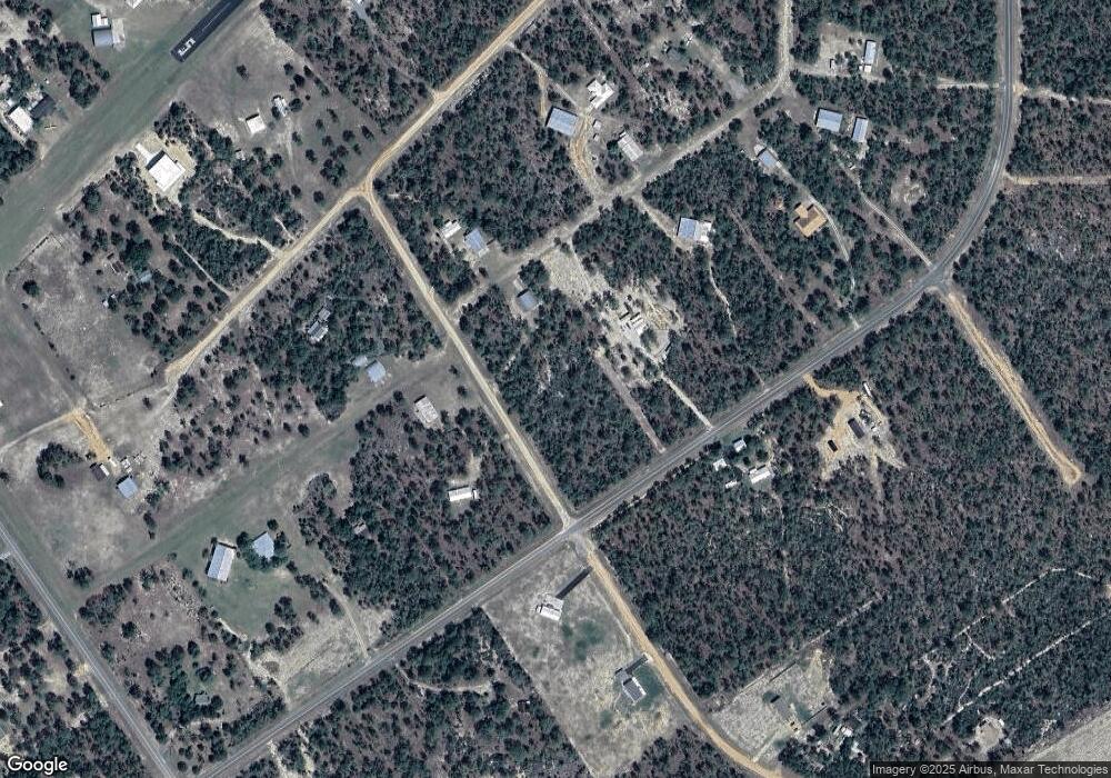
112 Cessna Way Hawthorne, FL 32640
Estimated Value: $206,000 - $266,000
--
Bed
--
Bath
2,250
Sq Ft
$105/Sq Ft
Est. Value
About This Home
This home is located at 112 Cessna Way, Hawthorne, FL 32640 and is currently estimated at $236,000, approximately $104 per square foot. 112 Cessna Way is a home located in Putnam County with nearby schools including Ochwilla Elementary School, C.H. Price Middle School, and Interlachen High School.
Ownership History
Date
Name
Owned For
Owner Type
Purchase Details
Closed on
Oct 25, 2017
Sold by
Murphy Roger S and Murphy Mary E
Bought by
Scales Robert G and Scales Susan J
Current Estimated Value
Purchase Details
Closed on
Mar 16, 2001
Sold by
Yonchak Mark
Bought by
Murphy Roger S and Murphy Mary E
Home Financials for this Owner
Home Financials are based on the most recent Mortgage that was taken out on this home.
Original Mortgage
$25,200
Interest Rate
7.02%
Mortgage Type
Purchase Money Mortgage
Create a Home Valuation Report for This Property
The Home Valuation Report is an in-depth analysis detailing your home's value as well as a comparison with similar homes in the area
Home Values in the Area
Average Home Value in this Area
Purchase History
| Date | Buyer | Sale Price | Title Company |
|---|---|---|---|
| Scales Robert G | $100,000 | Attorney | |
| Murphy Roger S | $28,000 | -- |
Source: Public Records
Mortgage History
| Date | Status | Borrower | Loan Amount |
|---|---|---|---|
| Previous Owner | Murphy Roger S | $25,200 | |
| Closed | Scales Robert G | $0 |
Source: Public Records
Tax History Compared to Growth
Tax History
| Year | Tax Paid | Tax Assessment Tax Assessment Total Assessment is a certain percentage of the fair market value that is determined by local assessors to be the total taxable value of land and additions on the property. | Land | Improvement |
|---|---|---|---|---|
| 2024 | $1,442 | $88,740 | $55,000 | $33,740 |
| 2023 | $1,498 | $93,150 | $55,000 | $38,150 |
| 2022 | $1,324 | $82,400 | $50,000 | $32,400 |
| 2021 | $1,305 | $81,700 | $0 | $0 |
| 2020 | $1,187 | $71,230 | $0 | $0 |
| 2019 | $1,196 | $71,180 | $62,330 | $8,850 |
| 2018 | $1,180 | $68,960 | $62,070 | $6,890 |
| 2017 | $1,079 | $61,270 | $60,840 | $430 |
| 2016 | $1,052 | $60,870 | $0 | $0 |
| 2015 | $1,057 | $60,733 | $0 | $0 |
| 2014 | $1,041 | $60,648 | $0 | $0 |
Source: Public Records
Map
Nearby Homes
- 219 Cessna Way
- 340 Melrose Landing Blvd
- 240 Cessna Way
- 403 Melrose Landing Dr
- 202 Melrose Landing Blvd
- 244 Cessna Way
- 200 Melrose Landing Dr
- 200 Whirlwind Loop
- 255 Melrose Landing Dr
- 105 Slipper Way
- 225 Melrose Landing Blvd
- 110 Slipper Way
- 200 Hour Glass Cir
- 114 Dew Drop Dr
- 0 Unassigned Address Unit 2004537
- 368 Rainbow Dr
- LOT 127 Royal Way
- TBA Rose Trail
- 207 Missouri Ave
- 199 Missouri Ave
- 308 Melrose Landing Blvd
- 314 Melrose Landing Blvd
- 101 Cessna Way
- 131 Cessna Dr
- 320 Melrose Landing Blvd
- 311 Melrose Landing Blvd
- 139 Cessna Dr
- 0 Melrose Land Blvd Unit 927873
- 0 Melrose Land Blvd
- 124 Cessna Dr
- 116 Cessna Dr
- 326 Melrose Landing Blvd
- 284 Melrose Landing Blvd
- 203 Cessna Way
- 315 Melrose Landing Blvd
- 104 Cessna Dr
- 230 Cessna Way
- 127 Piper Dr
- 138 Cessna Dr
- 214 Cessna Way
