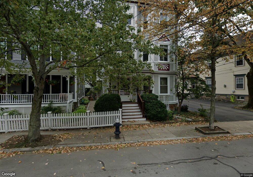
112 Chestnut St Unit 2 Brookline, MA 02445
Brookline Village NeighborhoodEstimated Value: $592,000 - $1,048,000
2
Beds
1
Bath
1,048
Sq Ft
$709/Sq Ft
Est. Value
About This Home
This home is located at 112 Chestnut St Unit 2, Brookline, MA 02445 and is currently estimated at $742,775, approximately $708 per square foot. 112 Chestnut St Unit 2 is a home located in Norfolk County with nearby schools including William H. Lincoln School, Brookline High School, and Maimonides School.
Ownership History
Date
Name
Owned For
Owner Type
Purchase Details
Closed on
Jun 27, 1990
Sold by
Donahoe David A
Bought by
Cordner Richard S
Current Estimated Value
Create a Home Valuation Report for This Property
The Home Valuation Report is an in-depth analysis detailing your home's value as well as a comparison with similar homes in the area
Home Values in the Area
Average Home Value in this Area
Purchase History
| Date | Buyer | Sale Price | Title Company |
|---|---|---|---|
| Cordner Richard S | $125,000 | -- |
Source: Public Records
Mortgage History
| Date | Status | Borrower | Loan Amount |
|---|---|---|---|
| Open | Cordner Richard S | $129,000 | |
| Closed | Cordner Richard S | $50,000 | |
| Closed | Cordner Richard S | $170,000 |
Source: Public Records
Tax History
| Year | Tax Paid | Tax Assessment Tax Assessment Total Assessment is a certain percentage of the fair market value that is determined by local assessors to be the total taxable value of land and additions on the property. | Land | Improvement |
|---|---|---|---|---|
| 2025 | $6,115 | $619,600 | $0 | $619,600 |
| 2024 | $6,250 | $639,700 | $0 | $639,700 |
| 2023 | $5,960 | $597,800 | $0 | $597,800 |
| 2022 | $5,914 | $580,400 | $0 | $580,400 |
| 2021 | $5,631 | $574,600 | $0 | $574,600 |
| 2020 | $5,377 | $569,000 | $0 | $569,000 |
| 2019 | $5,078 | $541,900 | $0 | $541,900 |
| 2018 | $4,882 | $516,100 | $0 | $516,100 |
| 2017 | $4,721 | $477,800 | $0 | $477,800 |
| 2016 | $4,526 | $434,400 | $0 | $434,400 |
| 2015 | $4,218 | $394,900 | $0 | $394,900 |
| 2014 | $4,153 | $364,600 | $0 | $364,600 |
Source: Public Records
Map
Nearby Homes
- 42 Prince St
- 124 Chestnut St Unit 2
- 22 Chestnut Place Unit M3
- 18 Chestnut Place
- 20 Rice St Unit 2
- 8 Henry St Unit 10
- 1 Chestnut Place
- 209 High St
- 236 Walnut St
- 71 Highland Rd
- 241 Perkins St Unit D405
- 241 Perkins St Unit C407
- 241 Perkins St Unit C402
- 241 Perkins St Unit G102
- 21 Sargent Crossway
- 57-59 Highland Rd Unit 57
- 8 Leverett St Unit 3
- 81 Glen Rd Unit S2
- 60 Glen Rd Unit 101
- 60 Glen Rd Unit 108
- 112 Chestnut St Unit 3
- 112 Chestnut St Unit 1
- 112 Chestnut St Unit A
- 112A Chestnut St
- 112A Chestnut St Unit 1
- 112A Chestnut St
- 112A Chestnut St Unit 2
- 110A Chestnut St Unit 2
- 110A Chestnut St Unit 1
- 110 Chestnut St
- 110A Chestnut St
- 114 Chestnut St Unit 2
- 114 Chestnut St Unit 1
- 108 Chestnut St
- 108 Chestnut St Unit 2
- 108 Chestnut St Unit 1
- 116 Chestnut St
- 100 Chestnut St
- 122 Chestnut St
- 98 Chestnut St
Your Personal Tour Guide
Ask me questions while you tour the home.