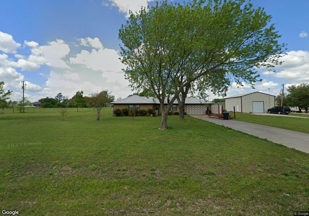
112 Choctaw Est Cir Sherman, TX 75092
Estimated Value: $360,189 - $398,000
3
Beds
2
Baths
1,575
Sq Ft
$239/Sq Ft
Est. Value
About This Home
This home is located at 112 Choctaw Est Cir, Sherman, TX 75092 and is currently estimated at $376,797, approximately $239 per square foot. 112 Choctaw Est Cir is a home located in Grayson County with nearby schools including S&S Consolidated Elementary School, S&S Consolidated Middle School, and S. & S. Cons H.S..
Ownership History
Date
Name
Owned For
Owner Type
Purchase Details
Closed on
Jul 31, 2015
Sold by
Fetterolf Jean A
Bought by
Vetrano Neal and Vetrano Karen
Current Estimated Value
Home Financials for this Owner
Home Financials are based on the most recent Mortgage that was taken out on this home.
Original Mortgage
$151,375
Outstanding Balance
$119,217
Interest Rate
4.07%
Mortgage Type
VA
Estimated Equity
$257,580
Create a Home Valuation Report for This Property
The Home Valuation Report is an in-depth analysis detailing your home's value as well as a comparison with similar homes in the area
Home Values in the Area
Average Home Value in this Area
Purchase History
| Date | Buyer | Sale Price | Title Company |
|---|---|---|---|
| Vetrano Neal | -- | Red River Title Co |
Source: Public Records
Mortgage History
| Date | Status | Borrower | Loan Amount |
|---|---|---|---|
| Open | Vetrano Neal | $151,375 |
Source: Public Records
Tax History Compared to Growth
Tax History
| Year | Tax Paid | Tax Assessment Tax Assessment Total Assessment is a certain percentage of the fair market value that is determined by local assessors to be the total taxable value of land and additions on the property. | Land | Improvement |
|---|---|---|---|---|
| 2025 | -- | $273,719 | -- | -- |
| 2024 | $3,715 | $248,835 | $0 | $0 |
| 2023 | $3,804 | $226,214 | $0 | $0 |
| 2022 | $3,458 | $205,649 | $0 | $0 |
| 2021 | $3,556 | $206,342 | $32,000 | $174,342 |
| 2020 | $3,334 | $231,815 | $32,000 | $199,815 |
| 2019 | $3,286 | $231,815 | $32,000 | $199,815 |
| 2018 | $2,735 | $172,124 | $32,000 | $140,124 |
| 2017 | $2,504 | $158,126 | $32,000 | $126,126 |
| 2016 | $2,277 | $142,980 | $27,000 | $115,980 |
| 2015 | $1,118 | $105,531 | $21,000 | $84,531 |
| 2014 | $1,249 | $108,308 | $21,000 | $87,308 |
Source: Public Records
Map
Nearby Homes
- 6514 Joyce Ln
- 1171 Rockport Rd
- 586 Pleasant Home Rd
- 2615 Rolling Hills Dr
- 00 Primrose Ln
- 3356 Old Dorchester Rd
- 1401 Cimmaron Trail
- 1404 Tejas Dr
- 1426 S Raven Dr
- 4501 Hawk Ln
- 1407 Swan Ridge Dr
- 4507 Falcon Dr
- 6935 S Farm To Market Road 1417
- 1415 Mallard Dr
- 10.96 Acres Wible Rd
- 750 Wible Rd
- TBD Wible Rd
- 1412 Ascot Ave
- 2134 Peggeys Cove
- 3508 Ballam St
- 82 Choctaw Est Cir
- 134 Rockport Rd
- 200 Choctaw Est Cir
- 157 Choctaw Est Cir
- 108 Rockport Rd
- 28 Choctaw Estate Cir
- 26 Choctaw Estate Cir
- 152 Rockport Rd
- 189 Choctaw Est Cir
- 176 Rockport Rd
- 18 Choctaw Est Cir
- 37 Choctaw Est Cir
- 6820 Ob Groner Rd
- 198 Rockport Rd
- 6820 Ob Groner Rd
- 220 Rockport Rd
- 121 Rockport Rd
- 255 Choctaw Est Cir
- 256 Choctaw Est Cir
- 645 Choctaw Estate Cir