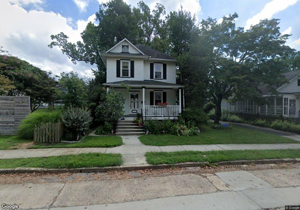
112 Cornell Rd Audubon, NJ 08106
Estimated Value: $330,000 - $428,000
--
Bed
--
Bath
1,385
Sq Ft
$273/Sq Ft
Est. Value
About This Home
This home is located at 112 Cornell Rd, Audubon, NJ 08106 and is currently estimated at $377,954, approximately $272 per square foot. 112 Cornell Rd is a home located in Camden County with nearby schools including Haviland Avenue School, Mansion Avenue School, and Audubon Junior/Senior High School.
Ownership History
Date
Name
Owned For
Owner Type
Purchase Details
Closed on
Apr 27, 1994
Sold by
Normile Dennis
Bought by
D'Giovanni Linda
Current Estimated Value
Home Financials for this Owner
Home Financials are based on the most recent Mortgage that was taken out on this home.
Original Mortgage
$93,000
Interest Rate
7.93%
Create a Home Valuation Report for This Property
The Home Valuation Report is an in-depth analysis detailing your home's value as well as a comparison with similar homes in the area
Home Values in the Area
Average Home Value in this Area
Purchase History
| Date | Buyer | Sale Price | Title Company |
|---|---|---|---|
| D'Giovanni Linda | $116,000 | -- |
Source: Public Records
Mortgage History
| Date | Status | Borrower | Loan Amount |
|---|---|---|---|
| Closed | D'Giovanni Linda | $93,000 |
Source: Public Records
Tax History Compared to Growth
Tax History
| Year | Tax Paid | Tax Assessment Tax Assessment Total Assessment is a certain percentage of the fair market value that is determined by local assessors to be the total taxable value of land and additions on the property. | Land | Improvement |
|---|---|---|---|---|
| 2025 | $9,297 | $230,300 | $115,500 | $114,800 |
| 2024 | $8,989 | $230,300 | $115,500 | $114,800 |
| 2023 | $8,989 | $230,300 | $115,500 | $114,800 |
| 2022 | $8,749 | $230,300 | $115,500 | $114,800 |
| 2021 | $8,385 | $230,300 | $115,500 | $114,800 |
| 2020 | $8,305 | $230,300 | $115,500 | $114,800 |
| 2019 | $8,194 | $230,300 | $115,500 | $114,800 |
| 2018 | $8,093 | $230,300 | $115,500 | $114,800 |
| 2017 | $7,925 | $230,300 | $115,500 | $114,800 |
| 2016 | $7,717 | $230,300 | $115,500 | $114,800 |
| 2015 | $7,466 | $230,300 | $115,500 | $114,800 |
| 2014 | $7,395 | $230,300 | $115,500 | $114,800 |
Source: Public Records
Map
Nearby Homes
- 208 E Pine St
- 162 Princeton Rd
- 219 Lafayette Rd
- 210 Carlisle Rd
- 249 S Davis Ave
- 279 Crystal Terrace
- 229 S Lecato Ave
- 47 E Kings Hwy
- 256 S White Horse Pike
- 114 Walnut St
- 233 E Kings Hwy
- 138 S Haviland Ave
- 103 White Horse Pike
- 656 W Crystal Lake Ave
- 218 Walnut St
- 109 White Horse Pike
- 38 Birchall Dr
- 241 Mansion Ave
- 227 W Graisbury Ave
- 2 Loucroft Ave
- 521 Amherst Rd
- 120 Cornell Rd
- 535 Amherst Rd
- 126 Cornell Rd
- 119 Carlisle Rd
- 107 Cornell Rd
- 115 Cornell Rd
- 128 Cornell Rd
- 130 Cornell Rd
- 53 E Vassar Rd
- 127 Carlisle Rd
- 123 Cornell Rd
- 520 Amherst Rd
- 131 Carlisle Rd
- 127 Cornell Rd
- 132 Cornell Rd
- 600 Amherst Rd
- 131 Cornell Rd
- 50 E Vassar Rd
- 45 E Vassar Rd