112 Dogleg Ln Port Ludlow, WA 98365
Port Ludlow NeighborhoodEstimated Value: $568,000 - $601,000
3
Beds
2
Baths
1,474
Sq Ft
$392/Sq Ft
Est. Value
About This Home
This home is located at 112 Dogleg Ln, Port Ludlow, WA 98365 and is currently estimated at $578,356, approximately $392 per square foot. 112 Dogleg Ln is a home located in Jefferson County with nearby schools including Chimacum Creek Primary School, Chimacum School Pi Program, and Chimacum Elementary School.
Ownership History
Date
Name
Owned For
Owner Type
Purchase Details
Closed on
Jun 14, 2008
Sold by
Williamson Joan
Bought by
Bryson Jill H and Reynolds Richard E
Current Estimated Value
Home Financials for this Owner
Home Financials are based on the most recent Mortgage that was taken out on this home.
Original Mortgage
$225,000
Outstanding Balance
$143,938
Interest Rate
5.99%
Mortgage Type
New Conventional
Estimated Equity
$434,418
Create a Home Valuation Report for This Property
The Home Valuation Report is an in-depth analysis detailing your home's value as well as a comparison with similar homes in the area
Home Values in the Area
Average Home Value in this Area
Purchase History
| Date | Buyer | Sale Price | Title Company |
|---|---|---|---|
| Bryson Jill H | $275,000 | None Available |
Source: Public Records
Mortgage History
| Date | Status | Borrower | Loan Amount |
|---|---|---|---|
| Open | Bryson Jill H | $225,000 |
Source: Public Records
Tax History Compared to Growth
Tax History
| Year | Tax Paid | Tax Assessment Tax Assessment Total Assessment is a certain percentage of the fair market value that is determined by local assessors to be the total taxable value of land and additions on the property. | Land | Improvement |
|---|---|---|---|---|
| 2024 | $3,730 | $503,752 | $133,350 | $370,402 |
| 2023 | $3,730 | $476,298 | $122,000 | $354,298 |
| 2022 | $3,257 | $471,298 | $117,000 | $354,298 |
| 2021 | $3,164 | $359,013 | $108,225 | $250,788 |
| 2020 | $3,011 | $327,981 | $104,063 | $223,918 |
| 2019 | $2,730 | $301,742 | $95,738 | $206,004 |
| 2018 | $2,835 | $275,504 | $87,413 | $188,091 |
| 2017 | $2,765 | $253,427 | $83,250 | $170,177 |
| 2016 | $2,519 | $253,427 | $83,250 | $170,177 |
| 2015 | $2,483 | $226,328 | $104,081 | $122,247 |
| 2014 | -- | $226,328 | $104,081 | $122,247 |
| 2013 | -- | $215,550 | $99,125 | $116,425 |
Source: Public Records
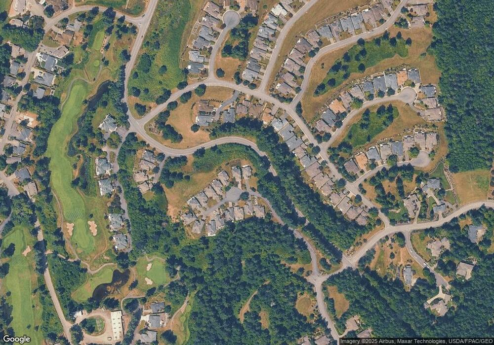
Map
Nearby Homes
- 306 Crestview Dr
- 60 Fairway Ln Unit C
- 60 Fairway Ln Unit D
- 21 Mount Lena Ln
- 171 Highland Dr Unit Drive
- 101 Highland Green Unit 5
- 101 Highland Green Unit 1
- 192 Highland Dr
- 250 Cameron Dr
- 999 Highland Dr
- 310 Cameron Dr
- 36 Dunbar Ct Unit Ct
- 81 Windrose Dr
- 95 Martingale Place
- 97 Martingale Place
- 131 Highland Green Unit 1
- 53 Dunsmuir Rd
- 70 Fernridge Ln
- 90 Mccartney Ln
- 61 McCartney Peak Ln