112 Dottie Ave Daytona Beach, FL 32118
Estimated Value: $212,000 - $255,964
2
Beds
1
Bath
872
Sq Ft
$269/Sq Ft
Est. Value
About This Home
This home is located at 112 Dottie Ave, Daytona Beach, FL 32118 and is currently estimated at $234,241, approximately $268 per square foot. 112 Dottie Ave is a home located in Volusia County with nearby schools including R.J. Longstreet Elementary School, Atlantic High School, and Silver Sands Middle School.
Ownership History
Date
Name
Owned For
Owner Type
Purchase Details
Closed on
Apr 20, 2022
Sold by
Willis William and Willis Beatrice Lea
Bought by
Willis William W and Willis Beatrice Lea
Current Estimated Value
Purchase Details
Closed on
Jul 9, 1999
Sold by
Cook Barbara Jean
Bought by
Willis William
Purchase Details
Closed on
Feb 15, 1993
Bought by
Willis William
Purchase Details
Closed on
Nov 15, 1989
Bought by
Willis William
Purchase Details
Closed on
Nov 15, 1976
Bought by
Willis William
Create a Home Valuation Report for This Property
The Home Valuation Report is an in-depth analysis detailing your home's value as well as a comparison with similar homes in the area
Home Values in the Area
Average Home Value in this Area
Purchase History
| Date | Buyer | Sale Price | Title Company |
|---|---|---|---|
| Willis William W | $100 | Columbia Title | |
| Willis William | $59,000 | -- | |
| Willis William | $49,500 | -- | |
| Willis William | $54,800 | -- | |
| Willis William | $20,000 | -- |
Source: Public Records
Tax History Compared to Growth
Tax History
| Year | Tax Paid | Tax Assessment Tax Assessment Total Assessment is a certain percentage of the fair market value that is determined by local assessors to be the total taxable value of land and additions on the property. | Land | Improvement |
|---|---|---|---|---|
| 2025 | $1,025 | $84,615 | -- | -- |
| 2024 | $1,025 | $82,231 | -- | -- |
| 2023 | $1,025 | $79,836 | $0 | $0 |
| 2022 | $973 | $77,511 | $0 | $0 |
| 2021 | $972 | $75,253 | $0 | $0 |
| 2020 | $958 | $74,214 | $0 | $0 |
| 2019 | $960 | $72,545 | $0 | $0 |
| 2018 | $947 | $71,192 | $0 | $0 |
| 2017 | $932 | $69,728 | $0 | $0 |
| 2016 | $927 | $68,294 | $0 | $0 |
| 2015 | $949 | $67,819 | $0 | $0 |
| 2014 | $942 | $67,281 | $0 | $0 |
Source: Public Records
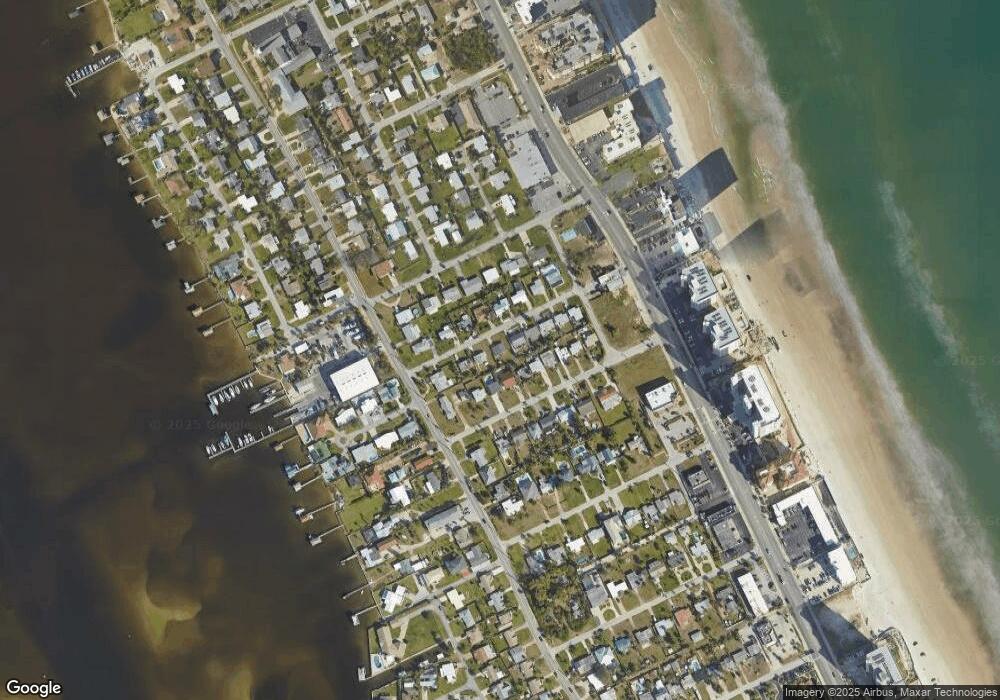
Map
Nearby Homes
- 100 Talo Cir
- 2 Talo Cir
- 0 S Peninsula Dr Unit MFRV4942972
- 0 S Peninsula Dr Unit 1219405
- 0 S Peninsula Dr
- 0 S Peninsula Dr Unit 1213918
- 3244 S Peninsula Dr
- 5 Talo Cir
- 3315 S Atlantic Ave Unit 1605
- 3315 S Atlantic Ave Unit 1406
- 3315 S Atlantic Ave Unit 1005
- 3315 S Atlantic Ave Unit 806
- 3315 S Atlantic Ave Unit 1707
- 3315 S Atlantic Ave Unit 408
- 3315 S Atlantic Ave Unit 1108
- 3315 S Atlantic Ave Unit 1106
- 3255 S Atlantic Ave Unit 207
- 3255 S Atlantic Ave Unit 106
- 3311 S Atlantic Ave Unit 1504
- 3311 S Atlantic Ave Unit 602
- 116 Dottie Ave
- 108 Dottie Ave
- 111 Ogden Blvd
- 109 Ogden Blvd
- 120 Dottie Ave
- 113 Ogden Blvd
- 107 Ogden Blvd
- 115 Dottie Ave
- 117 Dottie Ave
- 115 Ogden Blvd
- 111 Dottie Ave
- 105 Ogden Blvd
- 124 Dottie Ave
- 119 Dottie Ave
- 117 Ogden Blvd
- 107 Dottie Ave
- 128 Dottie Ave
- 3311 S Peninsula Dr
- 119 Ogden Blvd
- 127 Dottie Ave