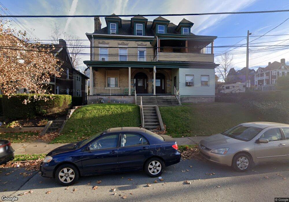
112 E 10th Ave Homestead, PA 15120
Estimated Value: $97,596 - $105,000
5
Beds
3
Baths
2,500
Sq Ft
$40/Sq Ft
Est. Value
About This Home
This home is located at 112 E 10th Ave, Homestead, PA 15120 and is currently estimated at $100,865, approximately $40 per square foot. 112 E 10th Ave is a home located in Allegheny County with nearby schools including Steel Valley Senior High School, Propel Schools - Homestead, and St. Therese School.
Ownership History
Date
Name
Owned For
Owner Type
Purchase Details
Closed on
Feb 1, 2010
Sold by
Not Develop Llc
Bought by
School Facility Develop Inc
Current Estimated Value
Purchase Details
Closed on
Jan 22, 2010
Sold by
Kokladas Shawn
Bought by
Not Develop L L C
Purchase Details
Closed on
Apr 19, 2002
Sold by
Affordable Properties Llc
Bought by
Eqt Investments Inc
Purchase Details
Closed on
Dec 6, 1999
Sold by
Eqt Investments Inc
Bought by
Affordable Properties Llc
Purchase Details
Closed on
May 31, 1997
Sold by
Murdzak Pauline
Bought by
Lehrman Enterprises Inc and The 112 East 10Th Avenue Land Trust
Create a Home Valuation Report for This Property
The Home Valuation Report is an in-depth analysis detailing your home's value as well as a comparison with similar homes in the area
Home Values in the Area
Average Home Value in this Area
Purchase History
| Date | Buyer | Sale Price | Title Company |
|---|---|---|---|
| School Facility Develop Inc | $45,000 | -- | |
| Not Develop L L C | $16,930 | -- | |
| Eqt Investments Inc | -- | -- | |
| Affordable Properties Llc | $28,010 | -- | |
| Lehrman Enterprises Inc | $10,150 | -- |
Source: Public Records
Tax History Compared to Growth
Tax History
| Year | Tax Paid | Tax Assessment Tax Assessment Total Assessment is a certain percentage of the fair market value that is determined by local assessors to be the total taxable value of land and additions on the property. | Land | Improvement |
|---|---|---|---|---|
| 2025 | $139 | $2,900 | $2,100 | $800 |
| 2024 | $130 | $2,900 | $2,100 | $800 |
| 2023 | $128 | $2,900 | $2,100 | $800 |
| 2022 | $128 | $2,900 | $2,100 | $800 |
| 2021 | $14 | $2,900 | $2,900 | $0 |
| 2020 | $123 | $2,900 | $2,900 | $0 |
| 2019 | $121 | $2,900 | $2,900 | $0 |
| 2018 | $14 | $2,900 | $2,900 | $0 |
| 2017 | $116 | $2,900 | $2,900 | $0 |
| 2016 | $14 | $2,900 | $2,900 | $0 |
| 2015 | $14 | $2,900 | $2,900 | $0 |
| 2014 | $114 | $2,900 | $2,900 | $0 |
Source: Public Records
Map
Nearby Homes
- 215 E 9th Ave
- 200 E 8th Ave
- 206 W 13th Ave
- 337 E 12th Ave
- 225 W 10th Ave
- 315 W 12th Ave
- 342 E 11th Ave
- 343 E 12th Ave
- 346 E 12th Ave
- 227 E 15th Ave
- 246 E 14th Ave
- 235 - 237 E 8th Ave
- 124 E 15th Ave
- 815 Mcclure St
- 230 E 15th Ave
- 122 E 16th Ave
- 139 W 16th Ave
- 1507 Mifflin St
- 1223 Margaret St
- 0 Dickson St