112 E 200 N Franklin, IN 46131
Estimated Value: $399,000 - $504,396
4
Beds
2
Baths
2,147
Sq Ft
$206/Sq Ft
Est. Value
About This Home
This home is located at 112 E 200 N, Franklin, IN 46131 and is currently estimated at $443,349, approximately $206 per square foot. 112 E 200 N is a home located in Johnson County with nearby schools including Creekside Elementary School, Custer Baker Intermediate School, and Franklin Community Middle School.
Ownership History
Date
Name
Owned For
Owner Type
Purchase Details
Closed on
Dec 12, 2024
Sold by
Taylor Linda S and Taylor Stacy L
Bought by
Taylor Stacy L
Current Estimated Value
Home Financials for this Owner
Home Financials are based on the most recent Mortgage that was taken out on this home.
Original Mortgage
$342,897
Outstanding Balance
$340,195
Interest Rate
6.78%
Mortgage Type
FHA
Estimated Equity
$103,154
Create a Home Valuation Report for This Property
The Home Valuation Report is an in-depth analysis detailing your home's value as well as a comparison with similar homes in the area
Home Values in the Area
Average Home Value in this Area
Purchase History
| Date | Buyer | Sale Price | Title Company |
|---|---|---|---|
| Taylor Stacy L | -- | Ideal Title | |
| Taylor Stacy L | -- | Ideal Title |
Source: Public Records
Mortgage History
| Date | Status | Borrower | Loan Amount |
|---|---|---|---|
| Open | Taylor Stacy L | $342,897 | |
| Closed | Taylor Stacy L | $342,897 |
Source: Public Records
Tax History Compared to Growth
Tax History
| Year | Tax Paid | Tax Assessment Tax Assessment Total Assessment is a certain percentage of the fair market value that is determined by local assessors to be the total taxable value of land and additions on the property. | Land | Improvement |
|---|---|---|---|---|
| 2025 | $4,547 | $370,000 | $84,500 | $285,500 |
| 2024 | $4,547 | $368,200 | $84,500 | $283,700 |
| 2023 | $2,689 | $229,100 | $84,500 | $144,600 |
| 2022 | $2,967 | $229,100 | $84,500 | $144,600 |
| 2021 | $2,822 | $211,500 | $68,000 | $143,500 |
| 2020 | $2,830 | $210,800 | $68,000 | $142,800 |
| 2019 | $2,697 | $210,000 | $65,800 | $144,200 |
| 2018 | $2,543 | $210,000 | $65,800 | $144,200 |
| 2017 | $2,517 | $209,800 | $65,800 | $144,000 |
| 2016 | $2,762 | $210,000 | $65,800 | $144,200 |
| 2014 | $2,657 | $216,700 | $65,800 | $150,900 |
| 2013 | $2,657 | $216,300 | $65,800 | $150,500 |
Source: Public Records
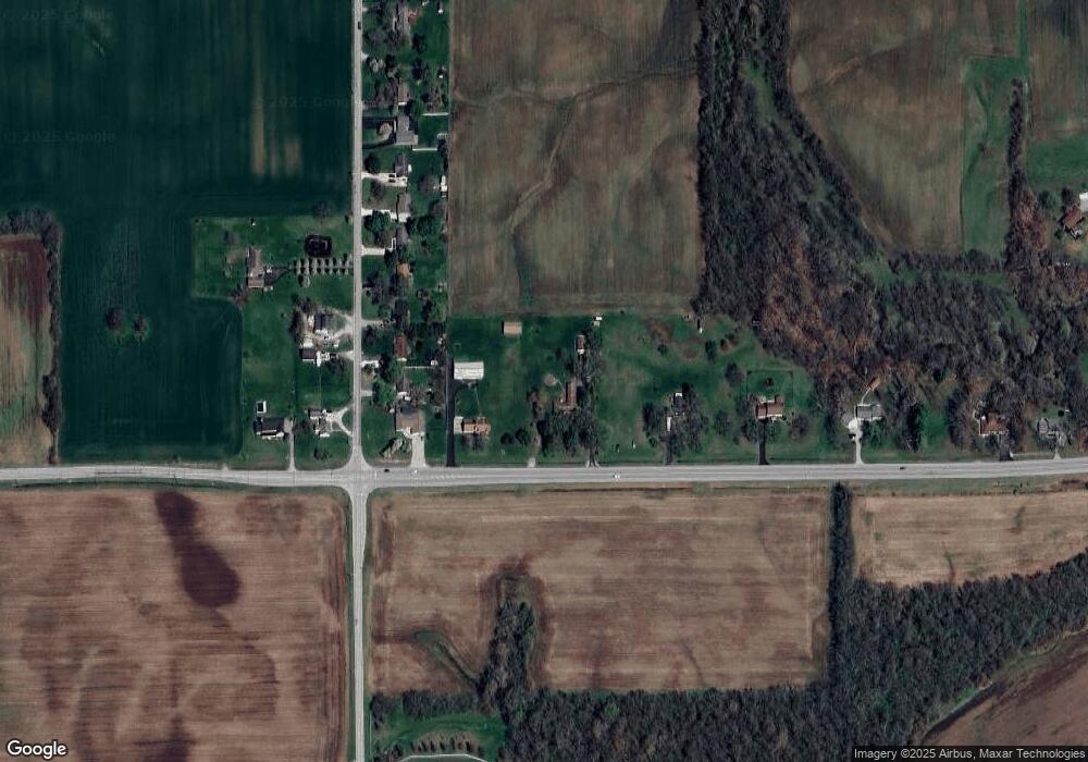
Map
Nearby Homes
- 00 W State Road 144
- 1195 S Aberdeen Dr
- 1664 Woodside Cir
- 1618 Woodside Cir
- Norway Plan at Westwind at Cumberland
- Bradford Plan at Westwind at Cumberland
- Juniper Plan at Westwind at Cumberland
- Aspen II Plan at Westwind at Cumberland
- Empress Plan at Westwind at Cumberland
- Cooper Plan at Westwind at Cumberland
- Spruce Plan at Westwind at Cumberland
- Palmetto Plan at Westwind at Cumberland
- Ironwood Plan at Westwind at Cumberland
- Chestnut Plan at Westwind at Cumberland
- 2855 Fieldstone Ct
- 1181 Harvest Ridge Cir
- 1942 Turning Leaf Dr
- 1278 Northcraft Ct
- 1151 N Aberdeen Dr
- 1397 Greenbriar Way
- 64 E 200 N
- 168 E 200 N
- 2041 N Centerline Rd
- 28 E 200 N
- 2059 N Centerline Rd
- 2097 N Centerline Rd
- 216 E 200 N
- 2115 N Centerline Rd
- 1 E 200 N
- 2016 N Centerline Rd
- 2135 N Centerline Rd
- 0 W 200 N Unit MBR9934312
- 2153 N Centerline Rd
- 270 E 200 N
- 46 W 200 N
- 2171 N Centerline Rd
- 2106 N Centerline Rd
- 2193 N Centerline Rd
- 255 N Centerline Rd
- 2229 N Centerline Rd