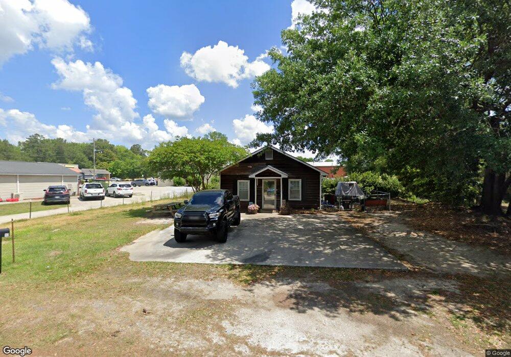
112 E Baker St Olanta, SC 29114
Estimated Value: $48,000 - $80,426
1
Bed
1
Bath
1,152
Sq Ft
$52/Sq Ft
Est. Value
About This Home
This home is located at 112 E Baker St, Olanta, SC 29114 and is currently estimated at $60,107, approximately $52 per square foot. 112 E Baker St is a home with nearby schools including Ronald E. McNair Junior High School and Lake City High School.
Ownership History
Date
Name
Owned For
Owner Type
Purchase Details
Closed on
Jul 31, 2017
Sold by
Floyd Jennifer Elizabeth
Bought by
Mccutcheon Edward Jason and Mccutcheon Krystal Lynn
Current Estimated Value
Purchase Details
Closed on
Dec 13, 2010
Sold by
Floyd Connie E
Bought by
Floyd Jennifer Elizabeth
Purchase Details
Closed on
Jul 12, 2006
Sold by
Coker Jamie L
Bought by
Floyd Connie E
Home Financials for this Owner
Home Financials are based on the most recent Mortgage that was taken out on this home.
Original Mortgage
$30,000
Interest Rate
6.6%
Mortgage Type
Unknown
Create a Home Valuation Report for This Property
The Home Valuation Report is an in-depth analysis detailing your home's value as well as a comparison with similar homes in the area
Purchase History
| Date | Buyer | Sale Price | Title Company |
|---|---|---|---|
| Mccutcheon Edward Jason | $25,000 | None Available | |
| Floyd Jennifer Elizabeth | -- | -- | |
| Floyd Connie E | $25,000 | None Available |
Source: Public Records
Mortgage History
| Date | Status | Borrower | Loan Amount |
|---|---|---|---|
| Previous Owner | Floyd Connie E | $30,000 |
Source: Public Records
Tax History
| Year | Tax Paid | Tax Assessment Tax Assessment Total Assessment is a certain percentage of the fair market value that is determined by local assessors to be the total taxable value of land and additions on the property. | Land | Improvement |
|---|---|---|---|---|
| 2025 | $879 | $1,771 | $526 | $1,245 |
| 2024 | $798 | $1,771 | $526 | $1,245 |
| 2023 | $739 | $1,382,925 | $526,440 | $856,485 |
| 2022 | $715 | $1,382 | $526 | $856 |
| 2021 | $649 | $2,070 | $0 | $0 |
| 2020 | $693 | $2,070 | $0 | $0 |
| 2019 | $688 | $2,070 | $0 | $0 |
| 2018 | $645 | $2,070 | $0 | $0 |
| 2017 | $143 | $1,380 | $0 | $0 |
| 2016 | $120 | $1,380 | $0 | $0 |
| 2015 | $120 | $1,380 | $0 | $0 |
| 2014 | $111 | $1,383 | $526 | $856 |
Source: Public Records
Map
Nearby Homes
- 415 E Main St
- 1.47 Acres State Road S-21-827
- TBD Alice Meyers Dr
- 3474 Olanta Hwy
- 1408 Kelley Rd
- 1400 Kelley Rd
- 1416 Kelley Rd
- 3728 W Turbeville Hwy
- 3303 American Ave
- 2910 Barrineau Rd
- Lot 6 TBD Atkinson St
- Lot 4 TBD Atkinson St
- Lot 5 TBD Atkinson St
- Lot 7 TBD Atkinson St
- 3280 Generation Ln
- 1157 Maple St
- 3017 Barrineau Rd
- 1465 Jakes Rd
- Lot 1 TBD Green St
- Lot 3 TBD Green St
- 122 E Baker St
- 218 S Jones Rd
- 218 N Jones Rd
- 128 E Baker St
- 302 N Jones Rd
- 137 E Moore St
- 137 State Road S-21-190
- 122 E Moore St
- 128 E Moore St
- 136 E Moore St
- 208 Thompson Ave
- 305 Welsh St
- 205 E Moore St
- 210 E Baker St
- 103 Park Ave
- 133 E Main St
- 131 W Main St
- 204 E Moore St
- 218 E Baker St
- 218 Baker St
Your Personal Tour Guide
Ask me questions while you tour the home.