112 E Dawes Ave Somers Point, NJ 08244
Estimated Value: $323,888 - $473,000
--
Bed
--
Bath
1,256
Sq Ft
$329/Sq Ft
Est. Value
About This Home
This home is located at 112 E Dawes Ave, Somers Point, NJ 08244 and is currently estimated at $413,222, approximately $328 per square foot. 112 E Dawes Ave is a home located in Atlantic County with nearby schools including Mainland Regional High School, ChARTer TECH High School for the Performing Arts, and Saint Joseph Regional School.
Ownership History
Date
Name
Owned For
Owner Type
Purchase Details
Closed on
Apr 7, 2014
Sold by
Hutchings Brian
Bought by
Hutchings Denise
Current Estimated Value
Purchase Details
Closed on
Sep 30, 1992
Sold by
Sommers Mildred J
Bought by
Hutching Brian J and Hutching Denise H
Create a Home Valuation Report for This Property
The Home Valuation Report is an in-depth analysis detailing your home's value as well as a comparison with similar homes in the area
Home Values in the Area
Average Home Value in this Area
Purchase History
| Date | Buyer | Sale Price | Title Company |
|---|---|---|---|
| Hutchings Denise | -- | None Available | |
| Hutching Brian J | $85,000 | -- |
Source: Public Records
Tax History Compared to Growth
Tax History
| Year | Tax Paid | Tax Assessment Tax Assessment Total Assessment is a certain percentage of the fair market value that is determined by local assessors to be the total taxable value of land and additions on the property. | Land | Improvement |
|---|---|---|---|---|
| 2025 | $5,922 | $165,600 | $59,100 | $106,500 |
| 2024 | $5,922 | $165,600 | $59,100 | $106,500 |
| 2023 | $5,533 | $165,600 | $59,100 | $106,500 |
| 2022 | $5,533 | $165,600 | $59,100 | $106,500 |
| 2021 | $5,450 | $165,600 | $59,100 | $106,500 |
| 2020 | $5,339 | $165,600 | $59,100 | $106,500 |
| 2019 | $5,188 | $165,600 | $59,100 | $106,500 |
| 2018 | $5,079 | $165,600 | $59,100 | $106,500 |
| 2017 | $4,897 | $165,600 | $59,100 | $106,500 |
| 2016 | $4,675 | $165,600 | $59,100 | $106,500 |
| 2015 | $4,627 | $165,600 | $59,100 | $106,500 |
| 2014 | $4,471 | $165,600 | $59,100 | $106,500 |
Source: Public Records
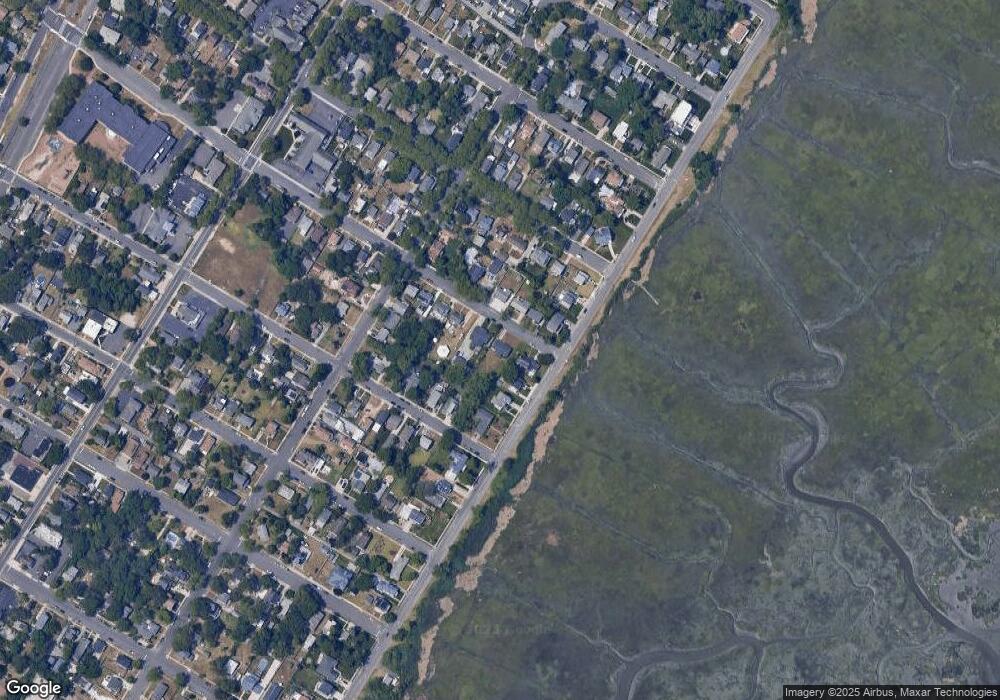
Map
Nearby Homes
- 114 E Pierson Ave
- 112 E Pierson Ave
- 101 E Johnson Ave
- 29 E Pierson Ave
- 123 E Cedar Ave
- 118 E Wilmont Ave
- 109 E Cedar Ave
- 25 W Pierson Ave
- 421 Shore Rd
- 33 W Meyran Ave
- 25 Shore Rd
- 11 Shore Rd Unit 7D
- 1020 Pleasant Ave
- 1013 Pleasant Ave
- 1014 Pleasant Ave
- 1024 Pleasant Ave
- 1015 Pleasant Ave
- 1803 Pleasant Ave
- 301 Bliss Ave
- 1002 Pleasant Ave
- 110 E Dawes Ave
- 213 Bay Ave
- 114 E Dawes Ave
- 215 Bay Ave
- 108 E Dawes Ave
- 125 E Pierson Ave
- 111 E Dawes Ave
- 113 E Dawes Ave
- 123 E Pierson Ave
- 217 Bay Ave
- 211 Bay Ave
- 109 E Dawes Ave
- 106 E Dawes Ave
- 208 Bay Ave
- 115 E Pierson Ave
- 107 E Dawes Ave
- 104 E Dawes Ave
- 209 Bay Ave
- 210 Sunny Ave
- 124 E Meyran Ave