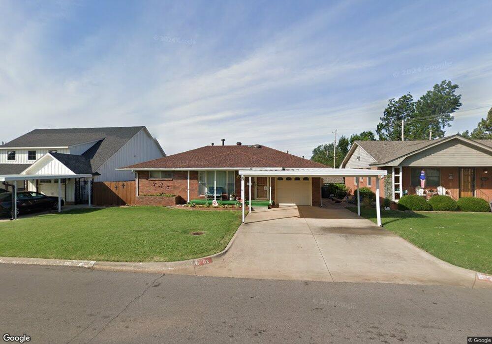
112 E Jarman Dr Oklahoma City, OK 73110
Estimated Value: $153,193 - $187,000
3
Beds
1
Bath
1,462
Sq Ft
$116/Sq Ft
Est. Value
About This Home
This home is located at 112 E Jarman Dr, Oklahoma City, OK 73110 and is currently estimated at $170,298, approximately $116 per square foot. 112 E Jarman Dr is a home located in Oklahoma County with nearby schools including Country Estates Elementary School, Midwest City Middle School, and Midwest City High School.
Ownership History
Date
Name
Owned For
Owner Type
Purchase Details
Closed on
Jan 4, 2000
Sold by
Bills Debra Ann
Bought by
Bills Debra Ann and The Debra Ann Bills Living Tru
Current Estimated Value
Purchase Details
Closed on
Sep 30, 1999
Sold by
Bills Leroy C and Bills Ruby A
Bought by
Bills Debra Ann
Create a Home Valuation Report for This Property
The Home Valuation Report is an in-depth analysis detailing your home's value as well as a comparison with similar homes in the area
Home Values in the Area
Average Home Value in this Area
Purchase History
| Date | Buyer | Sale Price | Title Company |
|---|---|---|---|
| Bills Debra Ann | -- | -- | |
| Bills Debra Ann | -- | -- |
Source: Public Records
Tax History Compared to Growth
Tax History
| Year | Tax Paid | Tax Assessment Tax Assessment Total Assessment is a certain percentage of the fair market value that is determined by local assessors to be the total taxable value of land and additions on the property. | Land | Improvement |
|---|---|---|---|---|
| 2024 | $1,184 | $11,058 | $1,893 | $9,165 |
| 2023 | $1,184 | $11,058 | $1,433 | $9,625 |
| 2022 | $1,135 | $10,735 | $1,559 | $9,176 |
| 2021 | $1,126 | $10,423 | $1,713 | $8,710 |
| 2020 | $1,120 | $10,120 | $1,853 | $8,267 |
| 2019 | $1,100 | $10,366 | $1,616 | $8,750 |
| 2018 | $999 | $10,065 | $0 | $0 |
| 2017 | $1,015 | $10,064 | $1,663 | $8,401 |
| 2016 | $1,011 | $9,789 | $1,663 | $8,126 |
| 2015 | $1,023 | $9,536 | $1,775 | $7,761 |
| 2014 | $1,029 | $9,597 | $1,775 | $7,822 |
Source: Public Records
Map
Nearby Homes
- 116 E Jarman Dr
- 108 E Jarman Dr
- 120 E Jarman Dr
- 2104 Maple Dr
- 2116 Maple Dr
- 1801 Maynord Cir
- 2100 Maple Dr
- 109 E Jarman Dr
- 124 E Jarman Dr
- 2120 Maple Dr
- 2016 Maple Dr
- 1800 Maynord Cir
- 128 E Jarman Dr
- 2124 Maple Dr
- 2012 Maple Dr
- 1809 Maynord Cir
- 129 E Jarman Dr
- 2128 Maple Dr
- 132 E Jarman Dr
- 2008 Maple Dr