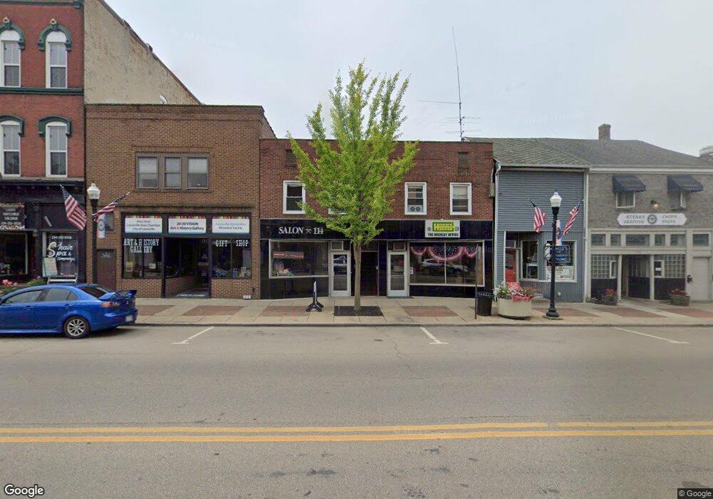
112 E Main St Louisville, OH 44641
Estimated Value: $174,404
1
Bed
1
Bath
3,500
Sq Ft
$50/Sq Ft
Est. Value
About This Home
This home is located at 112 E Main St, Louisville, OH 44641 and is currently estimated at $174,404, approximately $49 per square foot. 112 E Main St is a home located in Stark County with nearby schools including Louisville High School, Canton Harbor High School, and St. Thomas Aquinas High School & Middle School.
Ownership History
Date
Name
Owned For
Owner Type
Purchase Details
Closed on
Jan 16, 2024
Sold by
Mickley Dean P and Mickley Robin M
Bought by
Mickley Dean P and Mickley Robin M
Current Estimated Value
Purchase Details
Closed on
Nov 17, 2007
Sold by
Miday David C
Bought by
Mickley Dean P
Home Financials for this Owner
Home Financials are based on the most recent Mortgage that was taken out on this home.
Original Mortgage
$60,000
Interest Rate
6.45%
Mortgage Type
Seller Take Back
Purchase Details
Closed on
Nov 14, 2007
Sold by
Smith M Louise
Bought by
Miday David C
Home Financials for this Owner
Home Financials are based on the most recent Mortgage that was taken out on this home.
Original Mortgage
$60,000
Interest Rate
6.45%
Mortgage Type
Seller Take Back
Purchase Details
Closed on
Aug 18, 1999
Sold by
Louise Smith M
Bought by
Smith M Louise and M Louise Smith Revocable Living Trust
Create a Home Valuation Report for This Property
The Home Valuation Report is an in-depth analysis detailing your home's value as well as a comparison with similar homes in the area
Home Values in the Area
Average Home Value in this Area
Purchase History
| Date | Buyer | Sale Price | Title Company |
|---|---|---|---|
| Mickley Dean P | -- | None Listed On Document | |
| Mickley Dean P | $90,000 | Attorney | |
| Miday David C | -- | Attorney | |
| Smith M Louise | -- | -- |
Source: Public Records
Mortgage History
| Date | Status | Borrower | Loan Amount |
|---|---|---|---|
| Previous Owner | Mickley Dean P | $60,000 |
Source: Public Records
Tax History Compared to Growth
Tax History
| Year | Tax Paid | Tax Assessment Tax Assessment Total Assessment is a certain percentage of the fair market value that is determined by local assessors to be the total taxable value of land and additions on the property. | Land | Improvement |
|---|---|---|---|---|
| 2025 | -- | $27,440 | $9,590 | $17,850 |
| 2024 | -- | $27,440 | $9,590 | $17,850 |
| 2023 | $1,186 | $22,860 | $7,980 | $14,880 |
| 2022 | $1,194 | $22,860 | $7,980 | $14,880 |
| 2021 | $1,179 | $22,860 | $7,980 | $14,880 |
| 2020 | $1,068 | $21,780 | $7,600 | $14,180 |
| 2019 | $1,079 | $21,780 | $7,600 | $14,180 |
| 2018 | $1,071 | $21,780 | $7,600 | $14,180 |
| 2017 | $1,148 | $23,070 | $6,830 | $16,240 |
| 2016 | $1,159 | $23,070 | $6,830 | $16,240 |
| 2015 | $1,161 | $23,070 | $6,830 | $16,240 |
| 2014 | $1,173 | $22,190 | $6,580 | $15,610 |
| 2013 | $593 | $22,190 | $6,580 | $15,610 |
Source: Public Records
Map
Nearby Homes
- 107 E Broad St
- 204 E Broad St
- 325 Lincoln Ave
- 728 E Broad St
- 520 S Silver St
- 308 Superior St
- 641 S Nickelplate St
- 300 Kennedy St
- 0 Michigan Blvd
- 428 Honeycrisp Dr NE
- 3047 Mcintosh Dr NE
- 432 Honeycrisp Dr NE
- 2962 Mcintosh Dr NE
- 2963 Mcintosh Dr NE
- 430 Honeycrisp Dr NE
- 2957 Mcintosh Dr NE
- 1170 Winding Ridge Ave
- 201 Indiana Ave
- 910 Crosswyck Cir
- 248 Menegay Rd