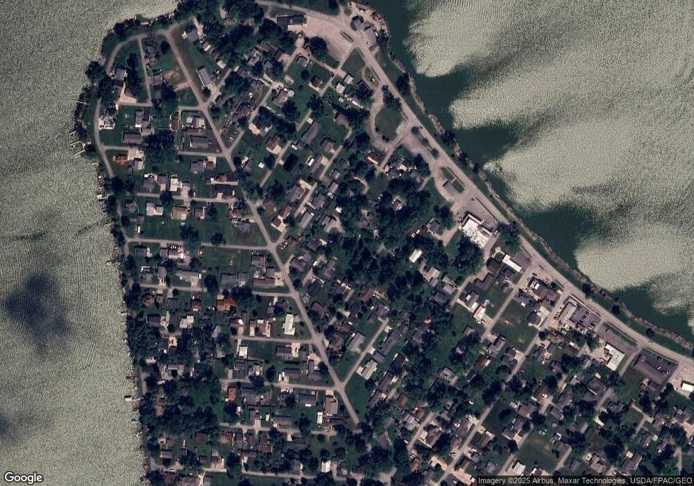
112 E Miami Trail Sandusky, OH 44870
Estimated Value: $181,413 - $304,000
2
Beds
1
Bath
1,164
Sq Ft
$198/Sq Ft
Est. Value
About This Home
This home is located at 112 E Miami Trail, Sandusky, OH 44870 and is currently estimated at $230,853, approximately $198 per square foot. 112 E Miami Trail is a home located in Erie County with nearby schools including Margaretta Elementary School and Margaretta High School.
Ownership History
Date
Name
Owned For
Owner Type
Purchase Details
Closed on
Dec 24, 2014
Sold by
Distel Lori A and Distel James K
Bought by
Distel James K
Current Estimated Value
Purchase Details
Closed on
Apr 8, 2010
Sold by
Secretary Of Housing & Urban Development
Bought by
Distel James K and Distel Lori A
Home Financials for this Owner
Home Financials are based on the most recent Mortgage that was taken out on this home.
Original Mortgage
$30,000
Interest Rate
5.03%
Mortgage Type
New Conventional
Purchase Details
Closed on
Nov 18, 2009
Sold by
Bac Home Loans Servicing Lp
Bought by
Secretary Of Housing & Urban Development
Purchase Details
Closed on
Oct 15, 2009
Sold by
Otto Tammy M
Bought by
Bac Home Loans Servicing Lp and Countrywide Home Loans Servicing Lp
Purchase Details
Closed on
Nov 20, 1998
Sold by
Marksbury Robert A
Bought by
Otto Michael and Otto Tammy M
Create a Home Valuation Report for This Property
The Home Valuation Report is an in-depth analysis detailing your home's value as well as a comparison with similar homes in the area
Home Values in the Area
Average Home Value in this Area
Purchase History
| Date | Buyer | Sale Price | Title Company |
|---|---|---|---|
| Distel James K | -- | Attorney | |
| Distel James K | $38,000 | None Available | |
| Secretary Of Housing & Urban Development | -- | Attorney | |
| Bac Home Loans Servicing Lp | $40,000 | None Available | |
| Otto Michael | $75,000 | -- |
Source: Public Records
Mortgage History
| Date | Status | Borrower | Loan Amount |
|---|---|---|---|
| Closed | Distel James K | $30,000 |
Source: Public Records
Tax History
| Year | Tax Paid | Tax Assessment Tax Assessment Total Assessment is a certain percentage of the fair market value that is determined by local assessors to be the total taxable value of land and additions on the property. | Land | Improvement |
|---|---|---|---|---|
| 2024 | $1,567 | $38,034 | $9,772 | $28,262 |
| 2023 | $1,573 | $28,402 | $6,517 | $21,885 |
| 2022 | $1,375 | $28,406 | $6,517 | $21,889 |
| 2021 | $1,366 | $28,410 | $6,520 | $21,890 |
| 2020 | $1,319 | $25,900 | $6,520 | $19,380 |
| 2019 | $1,361 | $25,900 | $6,520 | $19,380 |
| 2018 | $1,425 | $25,900 | $6,520 | $19,380 |
| 2017 | $1,378 | $24,710 | $8,140 | $16,570 |
| 2016 | $1,327 | $24,710 | $8,140 | $16,570 |
| 2015 | $1,261 | $24,710 | $8,140 | $16,570 |
| 2014 | $1,314 | $24,710 | $8,140 | $16,570 |
| 2013 | $1,268 | $24,710 | $8,140 | $16,570 |
Source: Public Records
Map
Nearby Homes
- 2710 Amherst Ave
- 2860 S Danbury Rd
- 2564 S Waterside Ct
- 2564 S Waterside Ct Unit 221
- 123 Bellevue Ave
- 2735 S Harbor Bay Dr Unit 1132
- 2735 S Harbor Bay Dr
- 2324 Yacht Club Ln Unit 6
- 2782 S Waterside Ct Unit 192
- 2360 Yacht Club Ln Unit 9
- 2360 Yacht Club Ln
- 5677 E Bayshore Rd
- 0 Mccartney Rd
- 0 State Route 269 Unit 20260193
- 6195 Port Clinton Eastern Rd
- 0 Port Clinton Eastern Rd Unit 20253597
- 3720 E Clean St Unit 28,29
- 0 S Lightner Rd
- 0 von Glahn Rd
- 708 SE Catawba Rd Unit 2
- 111 E Miami Trail
- 106 E Miami Trail
- 107 E Miami Trail
- 107 E Ogontz Trail
- 117 E Miami Trail
- 120 E Ogontz Trail
- 110 E Menominee Trail
- 106 E Menominee Trail
- 110 W Ogontz Trail
- 116 E Menominee Trail
- 104 E Miami Trail
- 506 Grand Pass
- 125 E Ogontz Trail
- 502 Grand Pass
- 502 Grand Pass
- 111 E Algonquin Trail
- 121 E Miami Trail
- 123 E Algonquin Trail
- 106 E Ogontz Trail
- 105 E Menominee Trail
Your Personal Tour Guide
Ask me questions while you tour the home.
