Estimated Value: $158,000 - $219,000
2
Beds
1
Bath
1,076
Sq Ft
$177/Sq Ft
Est. Value
About This Home
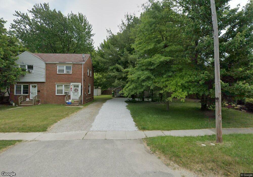
This home is located at 112 Eastland Rd, Berea, OH 44017 and is currently estimated at $190,273, approximately $176 per square foot. 112 Eastland Rd is a home located in Cuyahoga County with nearby schools including Grindstone Elementary School, Berea-Midpark Middle School, and Berea-Midpark High School.
Ownership History
Date
Name
Owned For
Owner Type
Purchase Details
Closed on
Feb 10, 2015
Sold by
Devlin Patrick A
Bought by
Devlin Beverly M
Current Estimated Value
Purchase Details
Closed on
Jan 28, 2004
Sold by
Devlin Patrick A and Moore Beverly M
Bought by
Devlin Patrick A and Devlin Beverly M
Purchase Details
Closed on
Nov 30, 1989
Sold by
Gorkoski Kathryn M
Bought by
Devlin Patrick A
Purchase Details
Closed on
May 4, 1981
Sold by
Gorkoski Kathryn M and Gorkoski Bryan D
Bought by
Gorkoski Kathryn M
Purchase Details
Closed on
Apr 6, 1979
Sold by
Biller Kenneth E
Bought by
Gorkoski Kathryn M and Gorkoski Bryan D
Purchase Details
Closed on
Dec 27, 1977
Sold by
Gorkosky Kathryn
Bought by
Biller Kenneth E
Purchase Details
Closed on
Jul 8, 1977
Sold by
Biller Kenneth E
Bought by
Gorkosky Kathryn
Purchase Details
Closed on
Jan 1, 1975
Bought by
Biller Kenneth E
Create a Home Valuation Report for This Property
The Home Valuation Report is an in-depth analysis detailing your home's value as well as a comparison with similar homes in the area
Home Values in the Area
Average Home Value in this Area
Purchase History
| Date | Buyer | Sale Price | Title Company |
|---|---|---|---|
| Devlin Beverly M | -- | Attorney | |
| Devlin Patrick A | -- | -- | |
| Devlin Patrick A | $53,000 | -- | |
| Gorkoski Kathryn M | -- | -- | |
| Gorkoski Kathryn M | $38,000 | -- | |
| Biller Kenneth E | -- | -- | |
| Gorkosky Kathryn | -- | -- | |
| Biller Kenneth E | -- | -- |
Source: Public Records
Tax History Compared to Growth
Tax History
| Year | Tax Paid | Tax Assessment Tax Assessment Total Assessment is a certain percentage of the fair market value that is determined by local assessors to be the total taxable value of land and additions on the property. | Land | Improvement |
|---|---|---|---|---|
| 2024 | $3,920 | $50,505 | $9,555 | $40,950 |
| 2023 | $3,473 | $39,940 | $8,960 | $30,980 |
| 2022 | $3,908 | $39,935 | $8,960 | $30,975 |
| 2021 | $3,846 | $39,940 | $8,960 | $30,980 |
| 2020 | $4,236 | $33,850 | $7,600 | $26,250 |
| 2019 | $2,527 | $96,700 | $21,700 | $75,000 |
| 2018 | $2,515 | $33,850 | $7,600 | $26,250 |
| 2017 | $2,538 | $31,720 | $6,900 | $24,820 |
| 2016 | $2,519 | $31,720 | $6,900 | $24,820 |
| 2015 | $2,246 | $31,720 | $6,900 | $24,820 |
| 2014 | $2,246 | $29,860 | $7,180 | $22,680 |
Source: Public Records
Map
Nearby Homes
- 116 Eastland Rd
- 102 Eastland Rd
- 114 Eastland Rd
- 94 Eastland Rd
- 120 Eastland Rd
- 285 Waverly St
- 115 Eastland Rd
- 107 Eastland Rd
- 126 Eastland Rd
- 291 Waverly St
- 105 Eastland Rd
- 121 Eastland Rd
- 103 Eastland Rd
- 128 Eastland Rd
- 95 Eastland Rd
- 299 Waverly St
- 254 Clark St
- 249 Waverly St
- 80 Eastland Rd
- 290 Waverly St